
The short answer: where is Madeira?
Madeira Island lies in the North Atlantic Ocean and belongs to Portugal. It is not attached to mainland Europe: it is an oceanic island, located southwest of mainland Portugal and some distance from the African coast. Geographically and administratively, it is the main island of a Portuguese Atlantic archipelago, with its own distinct territorial identity, even though it forms part of the Portuguese state.
If you only want the simplest possible answer to “where is Madeira?”, it is this: Madeira is in the Atlantic, southwest of mainland Portugal, as part of the Madeira archipelago and the Autonomous Region of Madeira. Its island setting clearly separates it from the mainland, but that distance does not change its political belonging to Portugal.
Madeira, archipelago and autonomous region
It is important to distinguish the island of Madeira from the Madeira archipelago and from the Autonomous Region of Madeira. The island is the largest and best-known part of the group; the archipelago also includes Porto Santo and the Desertas and Selvagens groups. Administratively, these islands belong to the Autonomous Region of Madeira, one of Portugal’s autonomous regions.
In everyday speech, “Madeira” can mean only the main island. In geographic and administrative contexts, however, the name can also refer to the wider island group and to the autonomous region. That distinction is useful for avoiding confusion, especially when Madeira is compared with other Portuguese archipelagos such as the Azores, which lie in a different part of the Atlantic.
Funchal, the regional capital, is on Madeira Island. That reinforces the island’s role as the archipelago’s political, economic and demographic centre. Porto Santo is the other inhabited island; the Desertas and Selvagens are smaller groups that are uninhabited or very tightly protected because of their natural importance.
Madeira’s position in the Atlantic
Madeira sits in the subtropical North Atlantic. Institutional material describes the archipelago as lying about 900 kilometres southwest of mainland Portugal and about 630 kilometres from the African continental margin. In broader geographic terms, it is an oceanic island territory, separated from mainland Europe and also distant from Africa.
This Atlantic setting helps explain why Madeira is often understood as a meeting point between different geographic spaces without ceasing to be a European region in political terms. Its position in the Atlantic historically influenced navigation, maritime routes and the movement of people and goods, and it still shapes how the island is perceived today.
On maps and in geographic descriptions, Madeira usually appears as a Portuguese island isolated in the eastern Atlantic, west of the African coast and north of the Canary Islands. That combination of distance, insularity and political belonging is one reason Madeira has such a strong territorial identity.
What the island is like
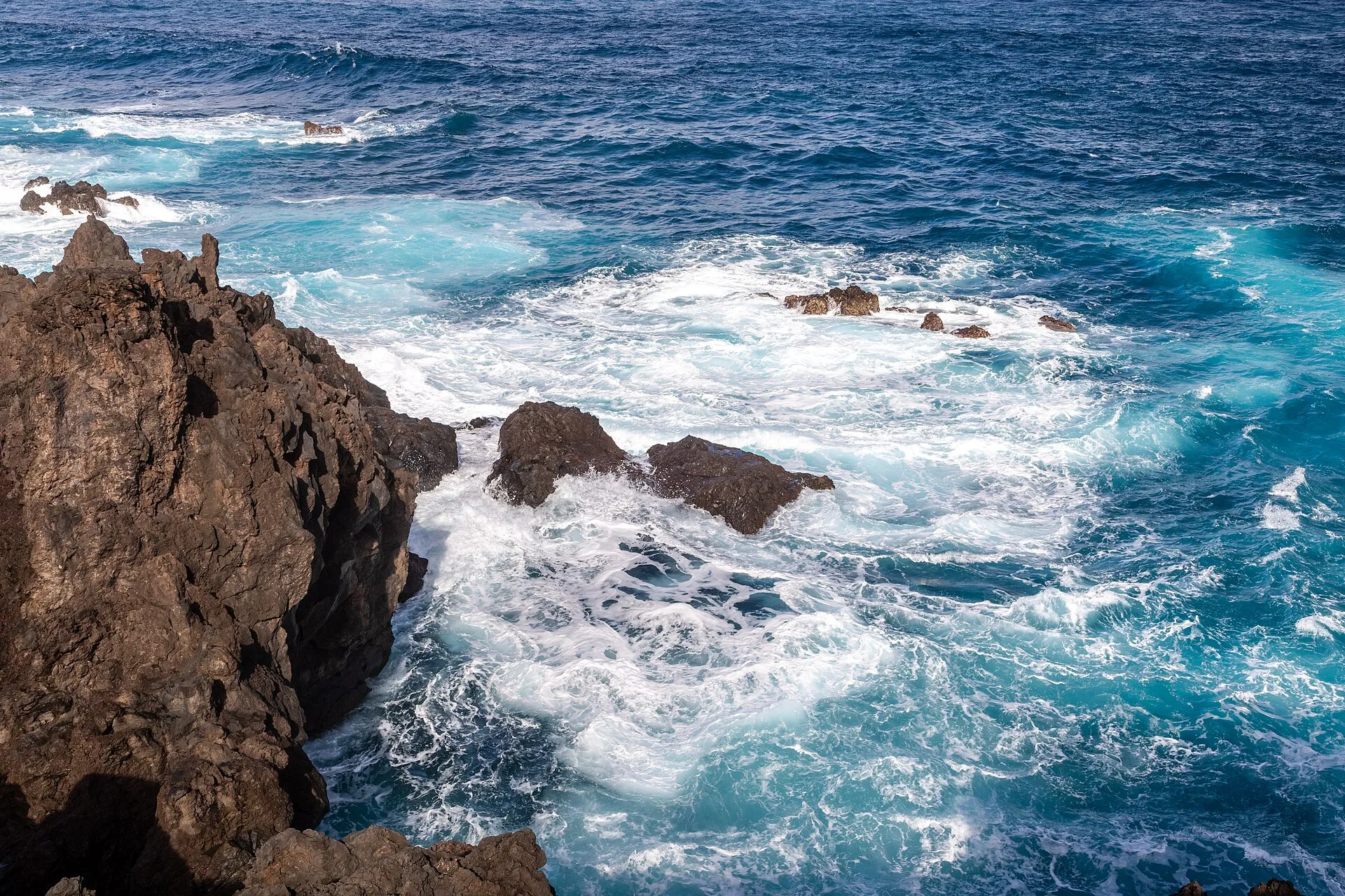
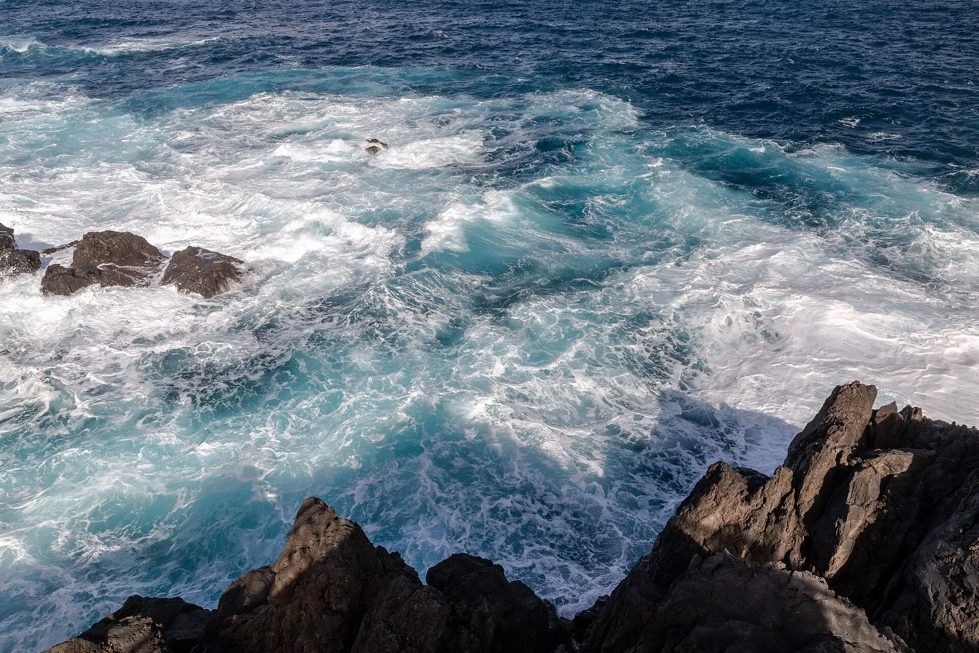
Anyone looking for Madeira on a map should imagine a small island in area but very strong in relief. It is a volcanic island, formed on an oceanic base, with steep slopes, deep valleys and a highly indented coastline. The landscape is not flat or uniform: it rises quickly from sea level into high mountain terrain.
The island is especially well known for its mountainous character. Its highest point is Pico Ruivo, at 1,862 metres above sea level. That rugged relief is one of Madeira’s strongest features and helps explain the distribution of settlement, roads and agricultural areas, which are concentrated in the more accessible parts of the island.
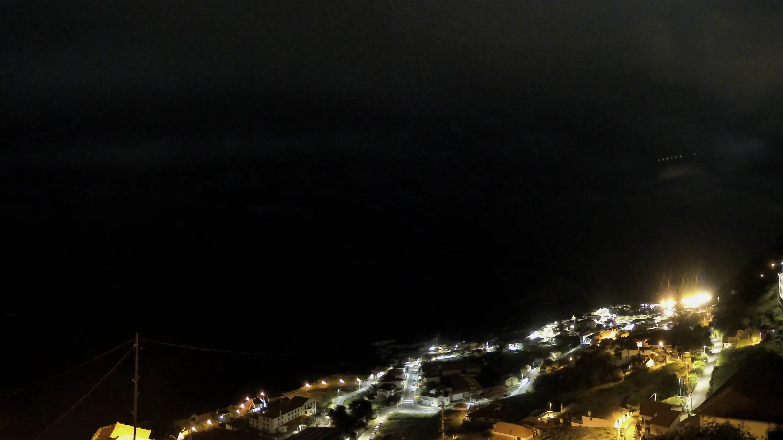
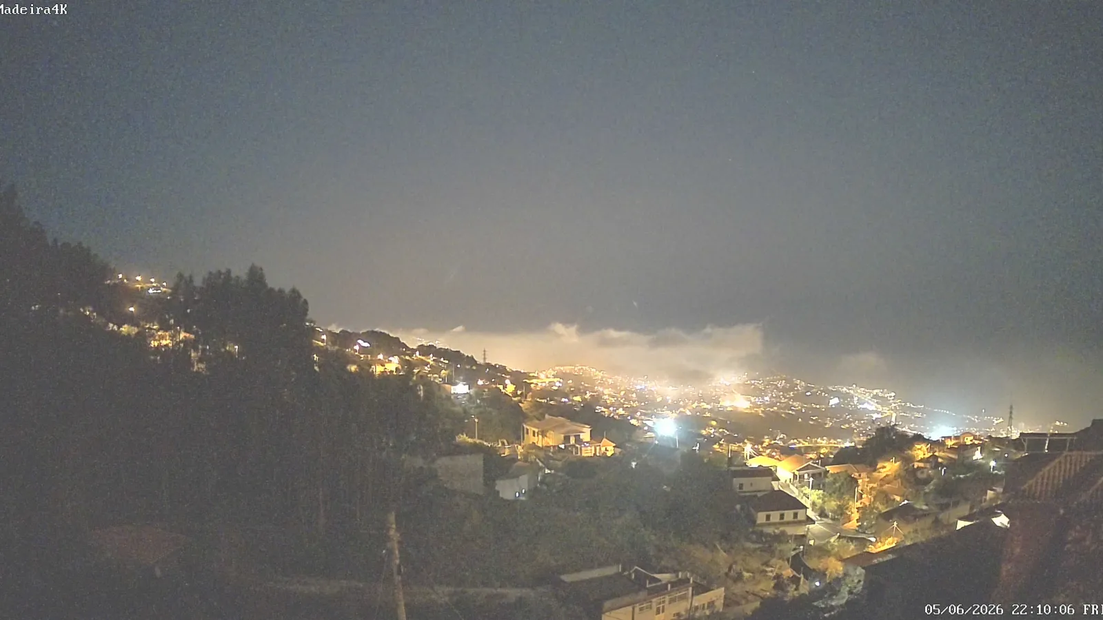
The southern coastline, where Funchal is located, became the island’s main urban belt. Many inland areas and much of the north coast remain much steeper, which shapes human occupation and contributes to the diversity of Madeiran landscapes.
What makes up the Madeira archipelago
The Madeira archipelago is more than the main island. It includes Madeira and Porto Santo, which are inhabited, as well as the Desertas and Selvagens groups. The Desertas are a small group of uninhabited islands; the Selvagens lie further south and also have special protection. Together they form a compact island system with great diversity in nature and human use.
Porto Santo lies northeast of Madeira Island and is the archipelago’s other inhabited island. The Desertas lie southeast of Madeira, and the Selvagens lie further south, toward the Canary Islands. Although they belong to the same archipelago, these groups differ greatly in natural character and in how they are used.
Even when the question is focused only on Madeira Island, it is worth remembering that the name “Madeira” can also cover the archipelago and the autonomous region. The main island is the largest in the group, but it does not exhaust the geographic meaning of the name.
Funchal and the southern coast
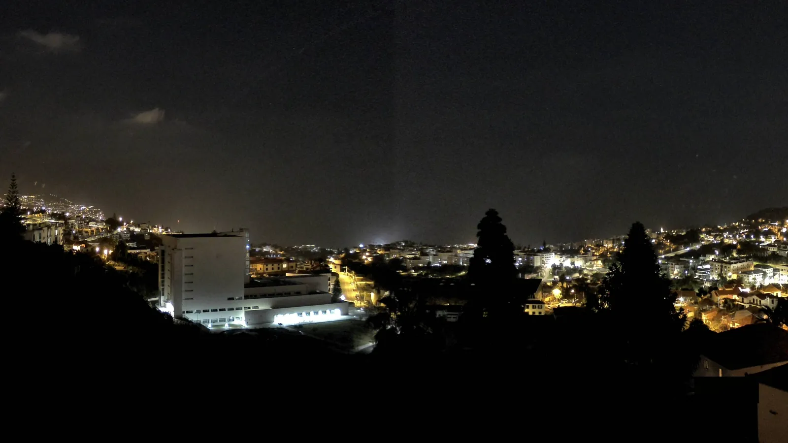
Funchal is the regional capital and is located on Madeira Island’s southern coast. That location matters because the south side generally offers better conditions for settlement, infrastructure and links between the city and the rest of the island. As a result, Funchal became the island’s principal urban centre.
For visitors and students of the island alike, Funchal often serves as the practical reference point. Administrative functions, services, commerce and much of Madeira’s urban life are concentrated there. Even so, Madeira is not just its capital: the relationship between the city, inland valleys and coastal areas shows how compact the island is while still being highly varied inside.
Why Madeira’s location matters
Madeira’s Atlantic position helps explain several of the island’s defining features. Distance from the mainland, a subtropical setting and volcanic relief combine to produce distinctive landscapes, microclimates and settlement patterns. The island’s geography has long shaped how the territory was inhabited, crossed and organised.
This location also helps explain Madeira’s identity within Portugal. The island is part of the country, but its insularity, its distance and its geological structure give it a distinctive presence. That is why, when someone asks where Madeira is, the complete answer should include three ideas: it is in the Atlantic, it belongs to Portugal, and it is the main island of an autonomous archipelago.
For practical orientation, the clearest wording is this: Madeira Island lies in the North Atlantic Ocean, southwest of mainland Portugal, west of the African coast and north of the Canary Islands, forming part of the Madeira archipelago and Autonomous Region, with Funchal on the south coast as the regional capital.
In brief
Madeira is a Portuguese Atlantic island, set far from the mainland, and part of an archipelago made up of several islands and islets. It is the largest island in the group, has strongly volcanic and mountainous relief, and is home to the regional capital, Funchal, on its southern coast. That is enough to place Madeira accurately on the map and distinguish it from other Portuguese island regions.