
Introduction
Madeira is the main island of the Madeira archipelago and belongs to Portugal as part of the Autonomous Region of Madeira in the North Atlantic. It is a relatively small island in area, but highly varied in geography: within about 741 km² it combines mountains, deep valleys, steep slopes, urban coastal zones, and protected natural areas. The island is roughly 57 km long and 22 km wide, which helps explain how such different landscapes can appear within short distances.
The search for “Madeira island live cam” makes sense because of this variety. In Madeira, weather and visibility can change quickly from one place to another, and a live image can help people judge whether the coast is clear, whether the high ground is clouded in, or whether wind and humidity have changed the outlook for a visit. Official tourism webcams have therefore become a practical tool for both visitors and residents.
Where Madeira is and how the archipelago is organised
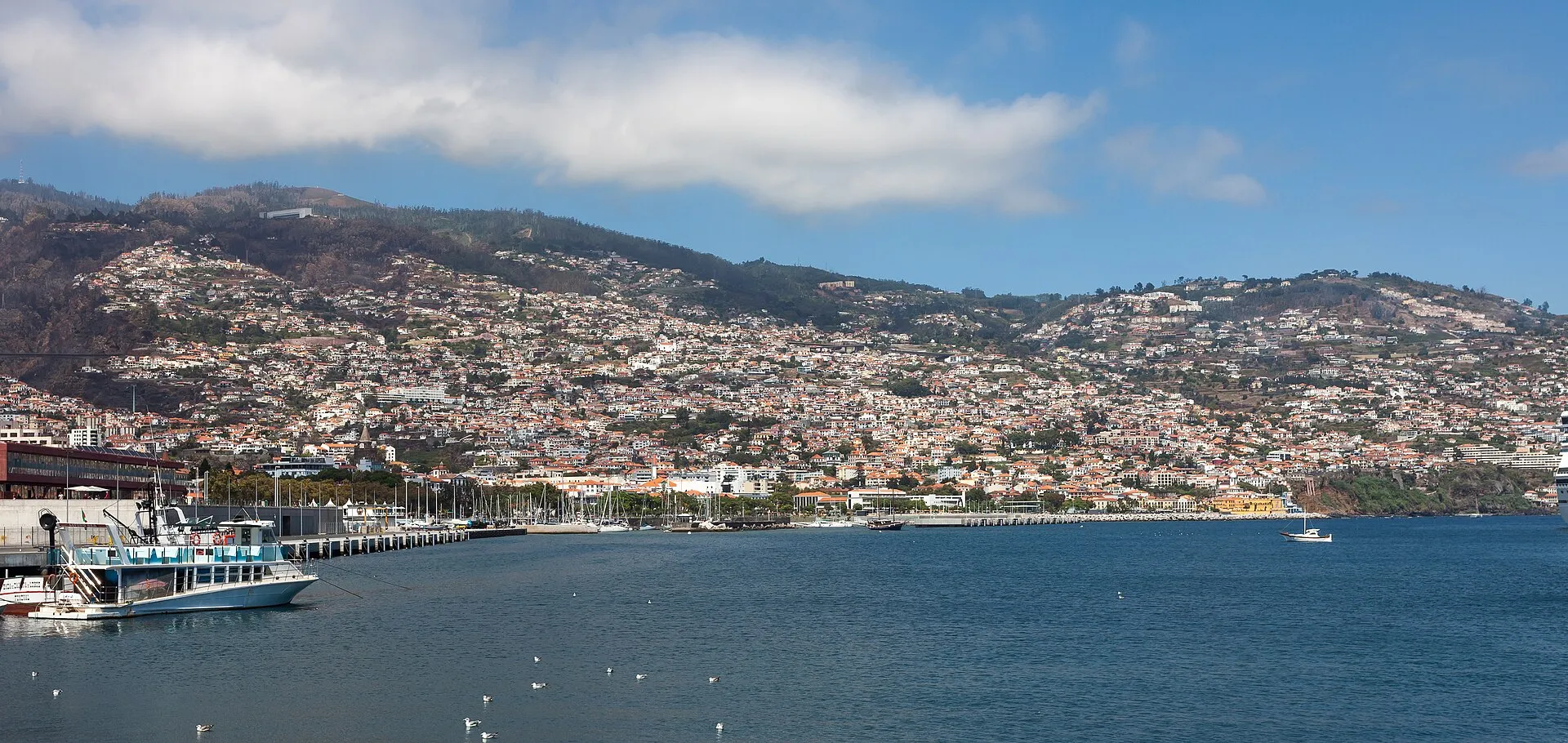
The Madeira archipelago consists of eight volcanic islands in the North Atlantic. Of these, Madeira and Porto Santo are inhabited, while the Desertas and Selvagens groups are uninhabited. Administratively, all of them form the Autonomous Region of Madeira. Funchal, on Madeira Island, is the regional capital and the archipelago’s main urban centre.
Within this group, Madeira is the largest and most populous island. It is also the one most strongly associated with tourism, regional administration, and most of the island’s urban network. At the same time, it is important not to confuse the island with the archipelago as a whole: depending on context, “Madeira” can mean the island itself, the archipelago, or the autonomous region. For a topic centred on live webcams, the island is the most relevant reference point, because most of the real-time views people search for are located there.
Volcanic origin and landscape
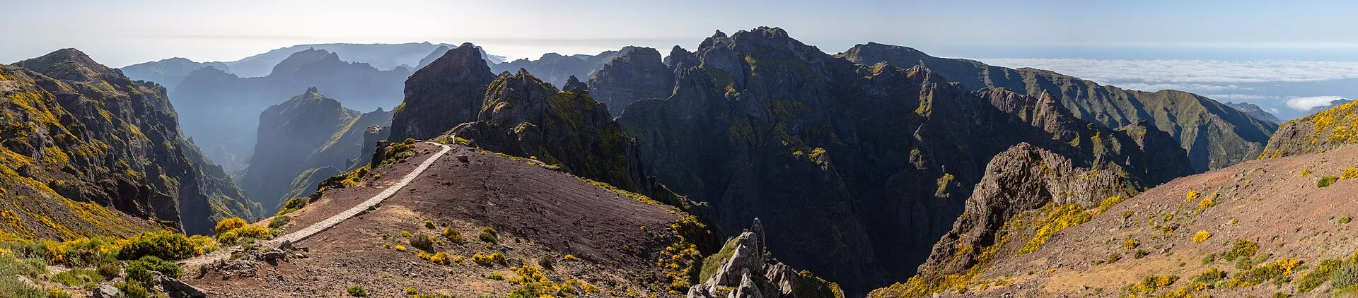
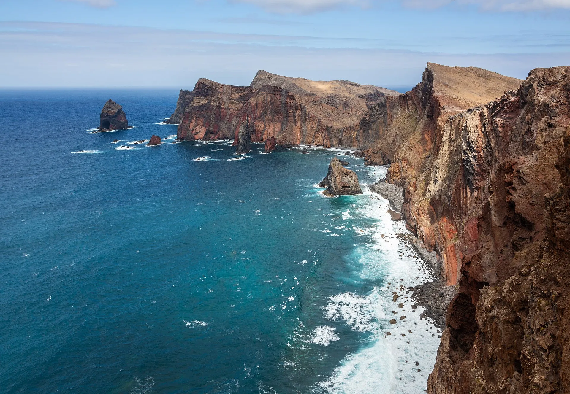
Madeira is volcanic in origin and rises from the ocean as a mountainous landmass. Its highest point is Pico Ruivo, at about 1,861 metres above sea level. The contrast between the shoreline and the interior is so strong that the island is often experienced as a place of abrupt transitions: some coastal areas are relatively accessible, while much of the central and northern interior becomes far steeper and more rugged.
That topography has shaped almost everything else on the island. Settlements historically concentrated in the more accessible areas, especially along the coast and in valleys where agriculture and movement were easier. Terraces were carved into slopes, valleys became natural routes, and links between communities had to adapt to difficult terrain. Landscape, in other words, is not just a visual feature in Madeira; it is one of the main structures underlying life on the island.
Climate, microclimates, and real-time viewing
One reason Madeira attracts so much visual interest is its climatic variety. The island is commonly described as having a mild subtropical climate with moderate seasonal variation. But that broad description hides important local differences. Humidity, altitude, wind exposure, and slope orientation create highly visible microclimates. On the same day, one area may be sunny, another foggy, and the higher ground may be wet or overcast.
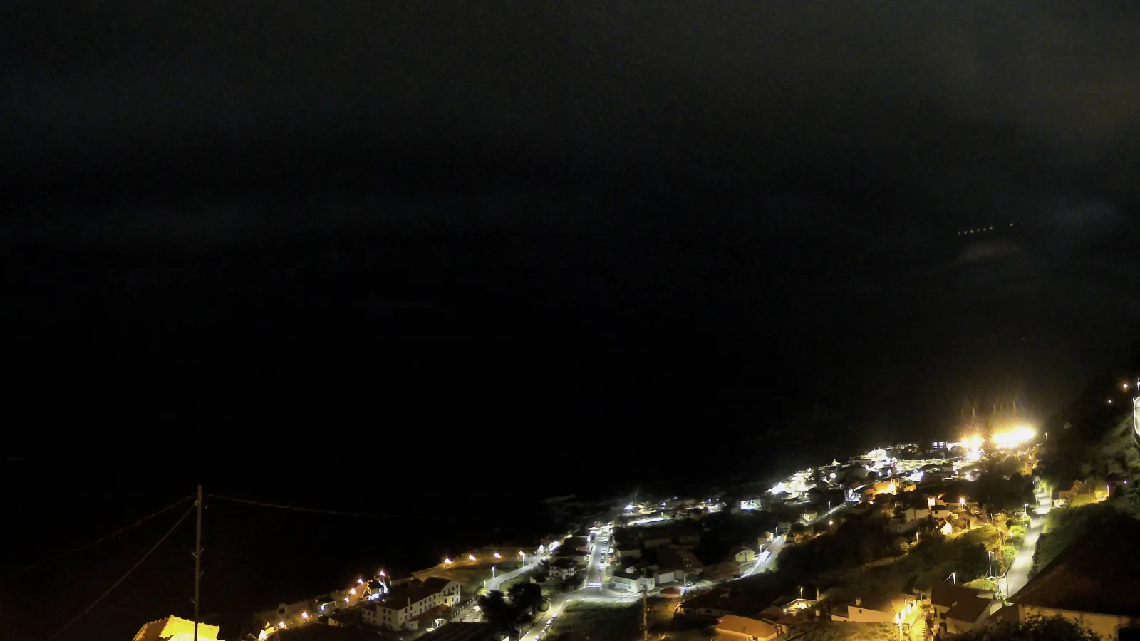
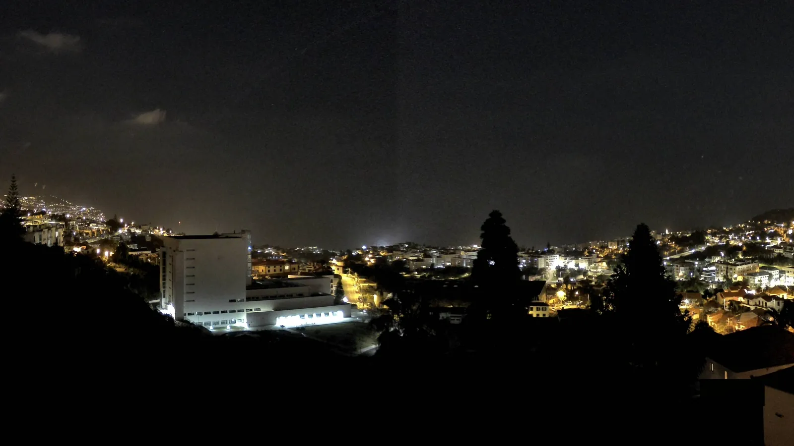
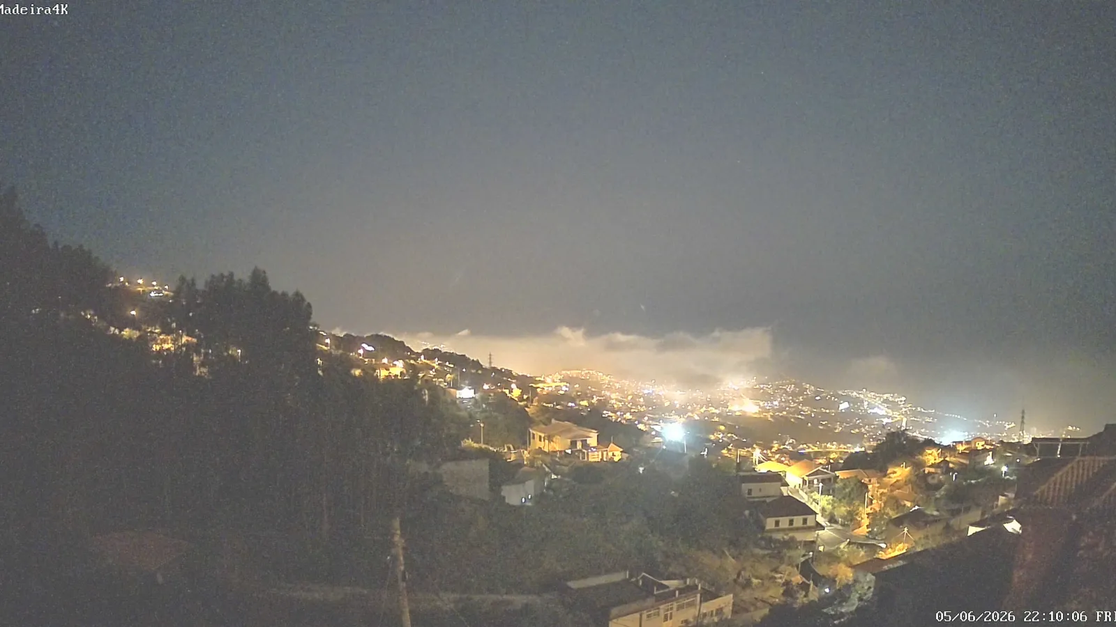
This is where the official webcams become especially useful. Madeira’s official tourism website provides live images from several parts of the island, including Calheta, Machico, Porto Moniz, Santa Cruz, Porto Santo, Funchal, and other municipalities. For anyone planning a hike, a viewpoint stop, or a drive between coast and mountain, a real-time view is often more useful than a general forecast. Interest in live cams on Madeira is therefore closely tied to the island’s climatic geography.
Webcams also help people read the landscape more clearly. A single frame may show the difference between an open coastal strip with the sea visible and an inland slope hidden by low cloud. That contrast is part of the Madeiran experience and helps explain why so many travellers check current conditions before setting out.
Laurisilva, nature, and environmental value
One of Madeira’s defining natural features is its laurisilva forest, recognised by UNESCO as World Heritage. According to UNESCO, the Laurisilva of Madeira preserves the largest surviving area of primary laurel forest and represents a relic of a vegetation type that was once far more widespread in southern Europe. UNESCO also notes its importance for biodiversity conservation and for the island’s hydrological balance.
This forest matters far beyond its visual appeal. It is an ecologically rich ecosystem with endemic species and a structure that helps retain moisture, regulate water, and support a diverse set of habitats. For understanding Madeira as a place, the laurisilva is essential because it shows that the island is not just a tourism setting: it is a highly complex environmental territory in which conservation and human use have long existed side by side.
In many parts of the island, nature is accompanied by human-made systems that are part of local history, especially the levadas. UNESCO notes that these water channels, built by the early settlers, follow steep valleys and contours to carry water toward agricultural and urban areas. They are among Madeira’s most recognisable features and help explain the historical link between the natural landscape and human occupation.
Settlement, economy, and regional life
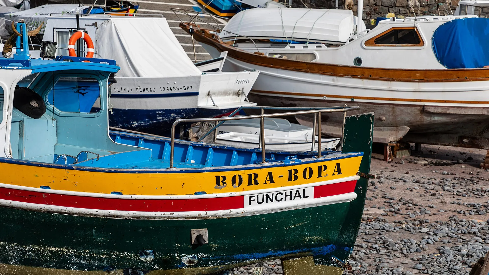
Settlement in Madeira has historically concentrated in the more accessible areas, especially along the coast and in valleys where water and soil made agriculture possible. Over time, the island developed an economy linked to farming, fishing, crafts, and later tourism. Products and activities commonly associated with Madeira include Madeira wine and bananas, although the relative importance of these sectors has changed over time.
Funchal plays a central role in this organisation. As the regional capital and the island’s main city, it concentrates administration, services, commerce, and a significant share of the island’s cultural life. At the same time, Madeira maintains a network of coastal towns and settlements spread across different municipalities, creating a balance between urban life, local activities, and more open landscapes. Even first-time visitors quickly sense that Madeira is not uniform: each coast, valley, and slope has its own character.
How to read Madeira through a webcam
A webcam only shows a small part of the island, but that fragment can still be very revealing. If the camera faces the coast, it may suggest good conditions for sea views, coastal walks, or urban visits. If it is placed at altitude, it can reveal cloud cover, strong wind, or poor visibility, all of which matter for mountain routes and road travel. In Madeira, reading the weather is often also a way of reading the island’s elevation.
That is why people searching for “Madeira island live cam” are usually not just looking for a pretty image. They want a direct impression of the island’s current conditions: clear skies or cloud, calm seas or rough water, green slopes or hills hidden by mist. A webcam becomes both a travel-planning tool and an extension of the visit itself.
Madeira in the wider Atlantic context
Madeira belongs to a wider Portuguese Atlantic setting that also includes the Azores. Even so, Madeira has a very distinct geographic identity. Its relative proximity to the African coast, its North Atlantic position, and the combination of mountain and sea give the island a recognisable character, visible both in the landscape and in the way the territory is organised. The regional capital, the valleys, the levadas, and the laurisilva form a connected system in which nature and society are closely intertwined.
In short, Madeira is an Atlantic island shaped by volcanic origins, mountains, strong contrasts, and a high level of environmental significance. Seen live through webcams, it offers only a momentary snapshot; understood in its geographic and historical context, it reveals why such a small place can contain such a wide range of landscapes, land uses, and ways of life.
Conclusion
For the topic “Madeira island live cam”, the core idea is straightforward: webcams matter because Madeira is a place where weather, altitude, and topography can change the experience from one hour to the next. Real-time viewing does not replace an understanding of the island, but it complements it. Seeing Madeira live is often the first step toward understanding a Portuguese autonomous region shaped by mountains, sea, forest, and continuous human presence.