
Overview
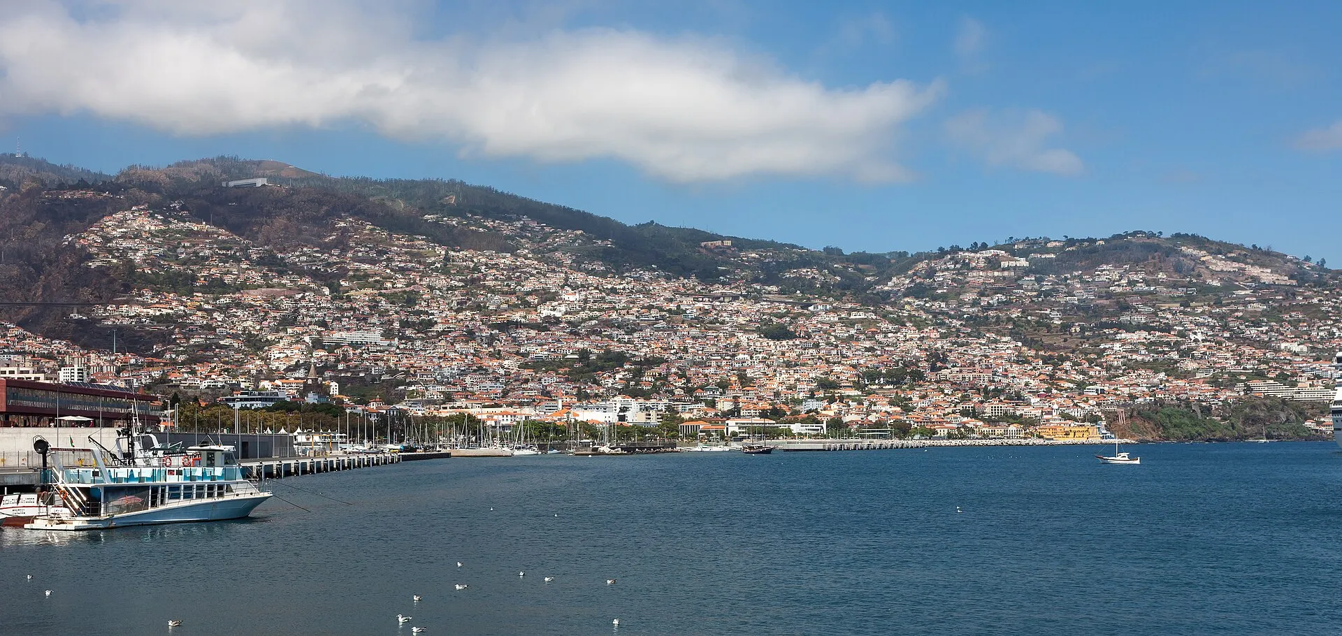
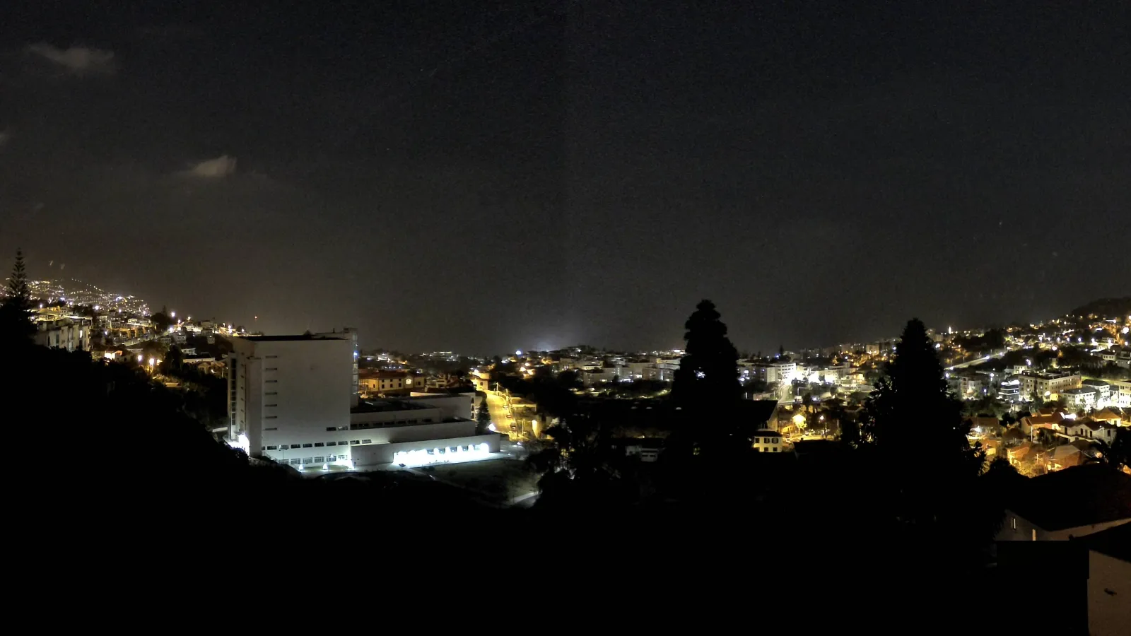
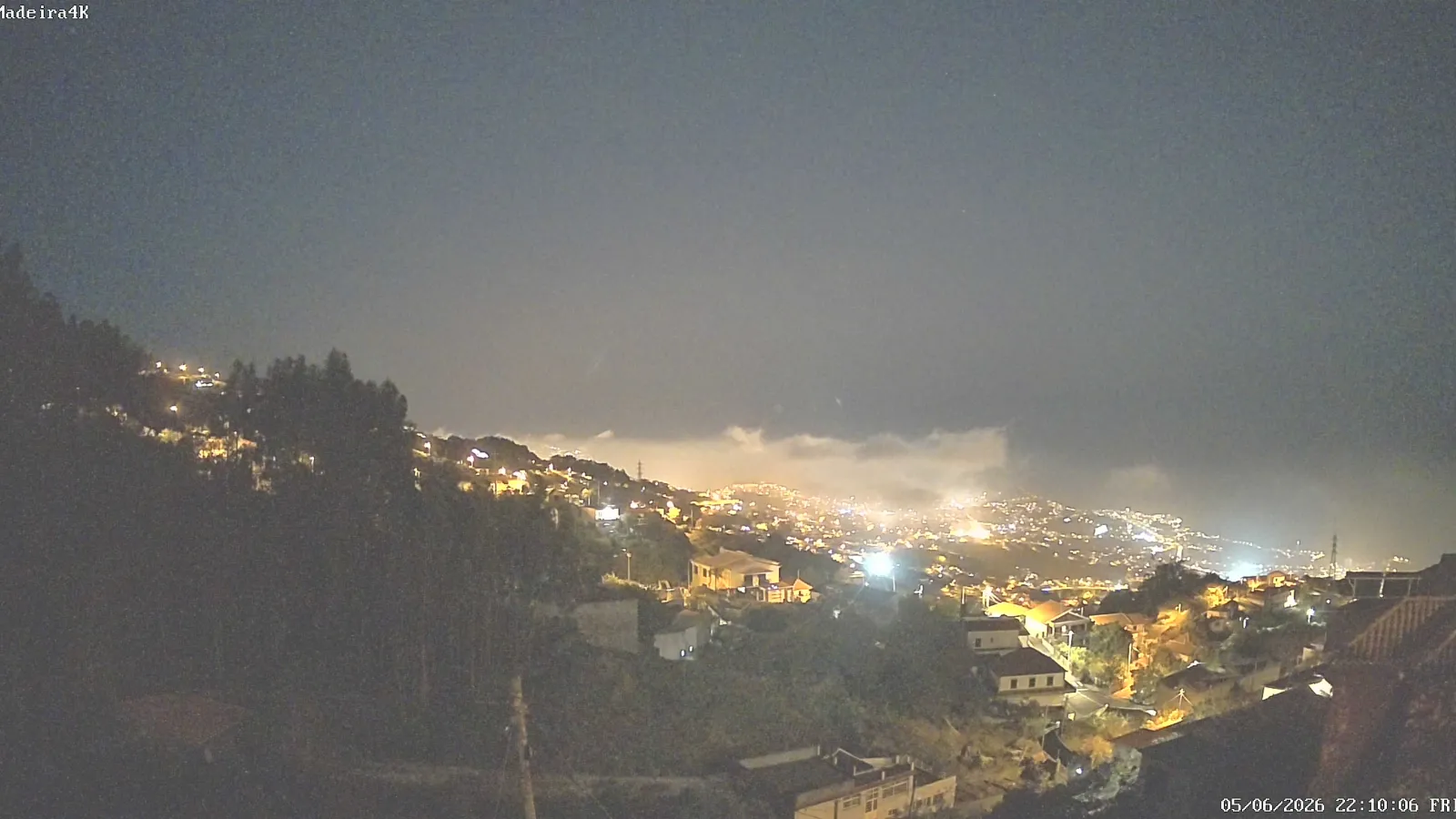
Madeira Island is the main island of the Madeira archipelago and one of Portugal’s best-known island territories. It lies in the North Atlantic and belongs to the Autonomous Region of Madeira. Funchal, the regional capital, is located on the island itself, which helps explain Madeira’s administrative, demographic, and symbolic centrality within the archipelago.
With an area of 741 km², a length of about 57 km, and a width of about 22 km, Madeira is small in absolute terms but remarkably varied in landscape. Steep relief, sharp altitude changes, and the proximity of coastal areas, deep valleys, and mountain zones give the island far more diversity than its size alone would suggest.
That combination of compact scale and strong physical contrast has shaped settlement, agriculture, and internal connections over the centuries. Madeira is at once inhabited, mountainous, and distinctly Atlantic in character.
Physical geography and volcanic origin
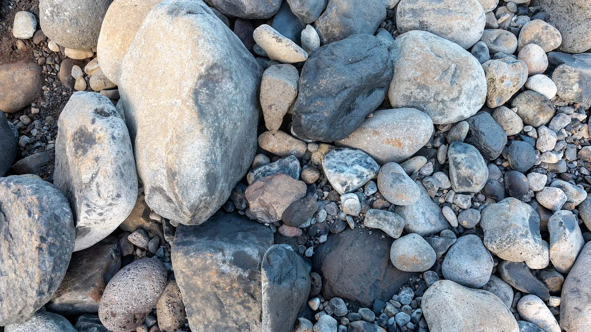
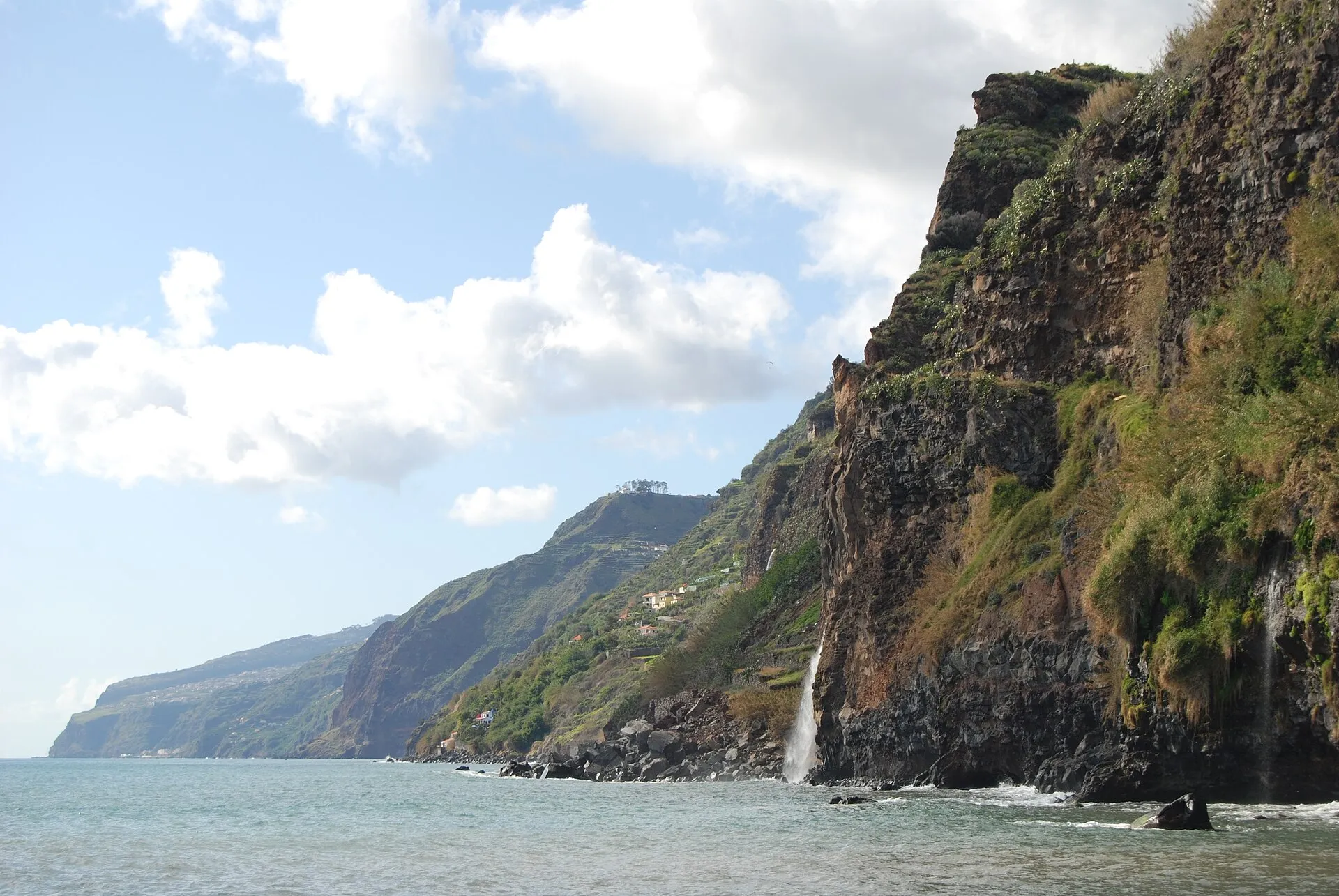
Madeira is volcanic in origin and represents the emergent part of a broader oceanic geological structure. Its interior is rugged, with steep slopes, ravines, and narrow valleys. Rather than broad plains, the island is dominated by dramatic relief that has long influenced where people live and how the territory is used.
The island’s highest point is Pico Ruivo, at 1,862 metres above sea level. That vertical range between the coast and the uplands creates a striking succession of environments across a relatively short distance. In practical terms, you can move from mild coastal conditions to cool, humid mountain landscapes in a matter of hours.
Madeira is often described through a north-south contrast, but the reality is more nuanced. The north is generally steeper and wetter, while the south is often more open to the coast and has historically supported denser settlement. Even so, the island’s terrain produces many local variations, so any simplified division misses much of what makes Madeira distinctive.
Climate and natural environment
Madeira has a subtropical climate, but the island is far from climatically uniform. Conditions vary with altitude, exposure to the sea, and slope orientation. Coastal areas are generally mild, while mountain areas are cooler and wetter.
In Funchal’s 1991–2020 climatological normal, the annual mean temperature is 20.0 °C. That figure confirms the mild character of the main urban area, though it does not capture the full range of conditions across an island with such pronounced altitude contrasts.
Climate shapes vegetation, farming, and movement across the island. Because altitude changes are so rapid, Madeira contains sharp environmental differences in a compact area. It is therefore best understood through the combined effects of climate and physical geography rather than through either factor alone.
Levadas and adaptation to terrain
One of Madeira’s most distinctive features is its network of levadas, water channels built to move water across the island. They were developed to carry water from wetter upland zones to agricultural and other human uses, adapting to steep terrain that makes natural water distribution difficult.
The origins of the levadas go back to the first settlements in the 15th century, when water became necessary for irrigating farmland, especially sugar-cane fields, and for powering the first mills and sugar factories. Their evolution reflects the island’s long history of adapting settlement and production to terrain and water availability.
Levadas are also an example of landscape engineering. Rather than forcing water across the island in a wholly artificial way, they often follow contour lines and blend into the relief. UNESCO emphasises their historical relationship with the Laurisilva and with human water use. As agriculture expanded from sugar cane to vines and later bananas, the levada network continued to grow.
Settlement history
Official Madeira sources place the first Portuguese sighting of the island in 1418, associated with navigators led by João Gonçalves Zarco. In 1419, they reached the island that was named Madeira because of the abundance of wood there. Portuguese colonisation began in 1425, by order of King John I of Portugal.
From the beginning, occupation of the island required adaptation to difficult terrain and dense vegetation. The first settlers had to clear land, build terraces, and organise routes for movement and irrigation. This was not a one-time adjustment; it became a long-term process that shaped the island’s economy and landscape for centuries.
Historically important products included sugar cane, cereals, vines, and later bananas. Madeira wine also achieved international recognition and remains one of the island’s most recognisable cultural and economic symbols. In historical terms, Madeira is a clear example of how an island economy depends on water systems, agricultural labour, and the constant negotiation between slopes, valleys, and the coast.
The Laurisilva and UNESCO World Heritage
Madeira’s most emblematic natural feature is the Laurisilva of Madeira, which was inscribed on the UNESCO World Heritage List in 1999. UNESCO describes it as the largest surviving area of primary laurel forest, a vegetation type that was once much more widespread. On Madeira, it is a rare and highly important remnant of long ecological continuity.
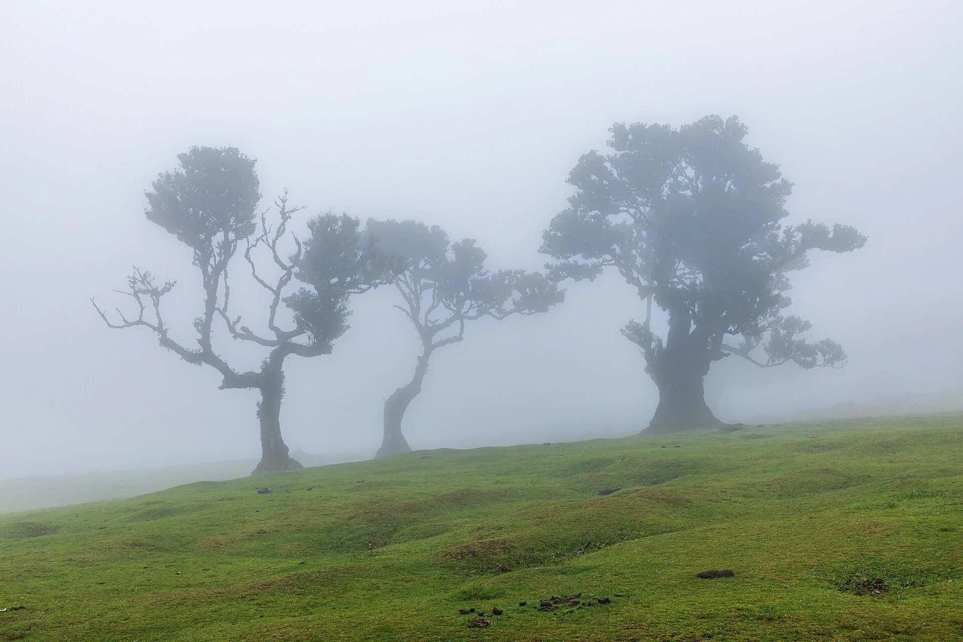
The Laurisilva matters botanically, ecologically, and visually. It is a high-value conservation habitat with many endemic species. It also helps support the island’s hydrological balance. Visually, it is one of the landscapes most closely associated with the humid interior and northern slopes of Madeira.
The relationship between the Laurisilva and the levadas is especially important. UNESCO notes that the inscribed property includes evidence of human use, including levadas running through the forest. This underlines a central truth about Madeira: its landscape is neither purely natural nor purely cultural, but the product of long interaction between ecosystems, water engineering, and settlement.
Protected areas and conservation
Environmental protection is a defining feature of Madeira’s territory. Madeira Natural Park covers about 56,700 hectares, or roughly two thirds of the island. Madeira also includes other protected designations, such as nature reserves and protected landscapes, all intended to safeguard fragile habitats and endemic species.
The purpose of this protection is to preserve ecological processes, species, and landscapes that would be vulnerable to urban, agricultural, or tourist pressure. In Madeira, conservation is not secondary to the island’s identity; it is one of the foundations of how the territory is organised and understood.
This protection also shapes how the island is experienced. Walking routes, nature observation, and levada trails all depend on the conservation framework. Madeira is therefore a place where protected nature is part of everyday geography rather than a separate reserve at the edge of settlement.
Madeira within the archipelago
Although the name “Madeira” often refers to the main island alone, the archipelago also includes Porto Santo, the Desertas, and the Selvagens. Even so, Madeira Island concentrates most of the population and the main regional functions, which explains its dominant role in the archipelago. Funchal serves as the regional capital and principal urban centre.
Seen as a whole, the archipelago’s islands display different combinations of settlement, ecology, and relation to the sea. Madeira stands out because it holds most of the institutions and people, while the other islands play more specialised roles within the regional system. That distribution reinforces the main island’s importance in Madeira’s identity.
In broader historical and geographical terms, Madeira captures a characteristic Atlantic Portuguese experience: a volcanic, mountainous island shaped by human adaptation but still marked by high-value ecosystems. Its distinctive identity comes from the interaction of relief, climate, water, settlement, and conservation.
How to understand the island today
To understand Madeira today, it helps to see it as a territory where geography is not just a backdrop. Relief explains the distribution of settlements; water explains the levadas; the forest helps explain conservation; and the history of settlement shows how the island was transformed into a habitable and productive place.
That integrated view also explains why Madeira is so often described through contrasts: small but diverse, mountainous but densely inhabited, natural but strongly shaped by people. Those tensions are precisely what make the island distinctive within Portugal and across the Atlantic world.