
Setting and location
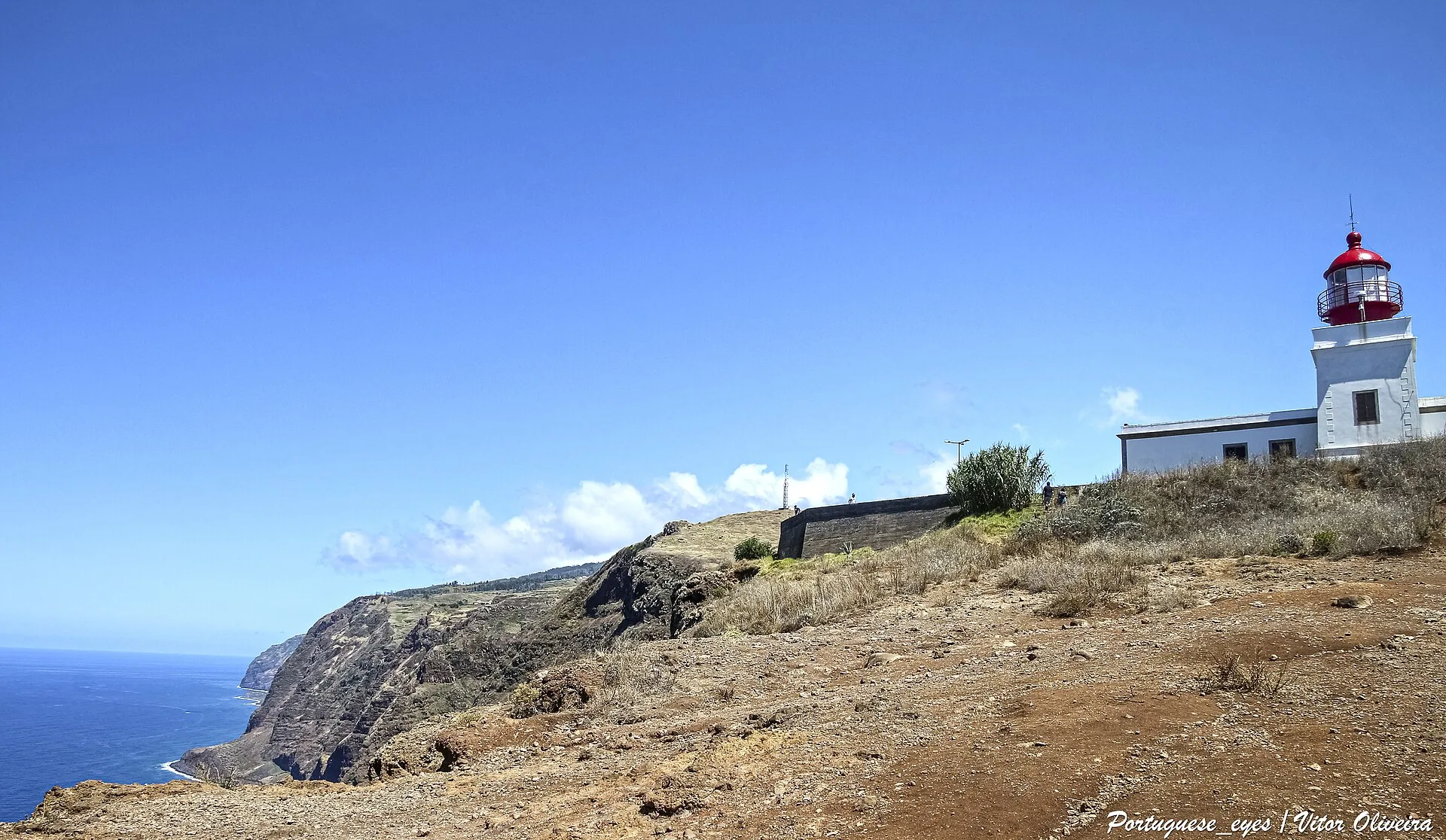
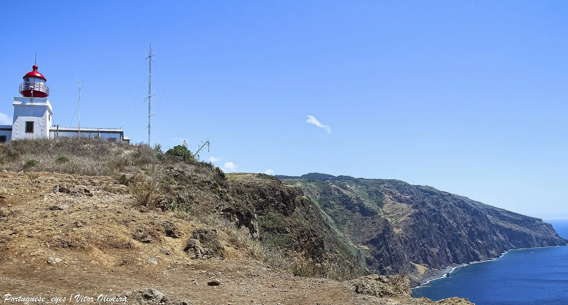
Ponta do Pargo Lighthouse is one of the best-known coastal landmarks on Madeira’s western side. It stands on Ponta da Vigia, described in official tourism material as the island’s westernmost cape, on a cliff about 290 metres above sea level. From that position, the lighthouse overlooks the surrounding cliffs and coastline, including the direction of Achadas da Cruz in the municipality of Porto Moniz. Administratively, the site belongs to the parish of Ponta do Pargo in the municipality of Calheta, but the lighthouse is primarily understood as a defining landmark of Madeira’s far west.
Its setting helps explain why the lighthouse has become so visually important to the identity of the area. It is more than a maritime aid to navigation: the site also functions as a viewpoint, making the connection between the Atlantic, the cliff edge, and the dispersed settlement pattern of Madeira’s western coast easy to read.
History and purpose
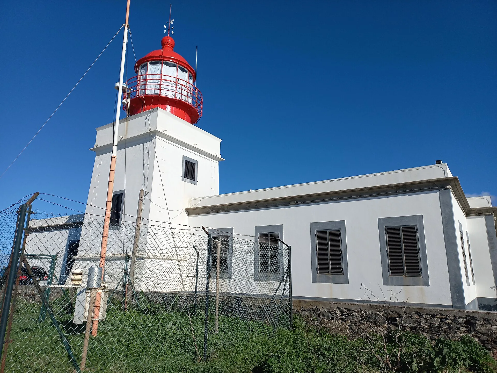
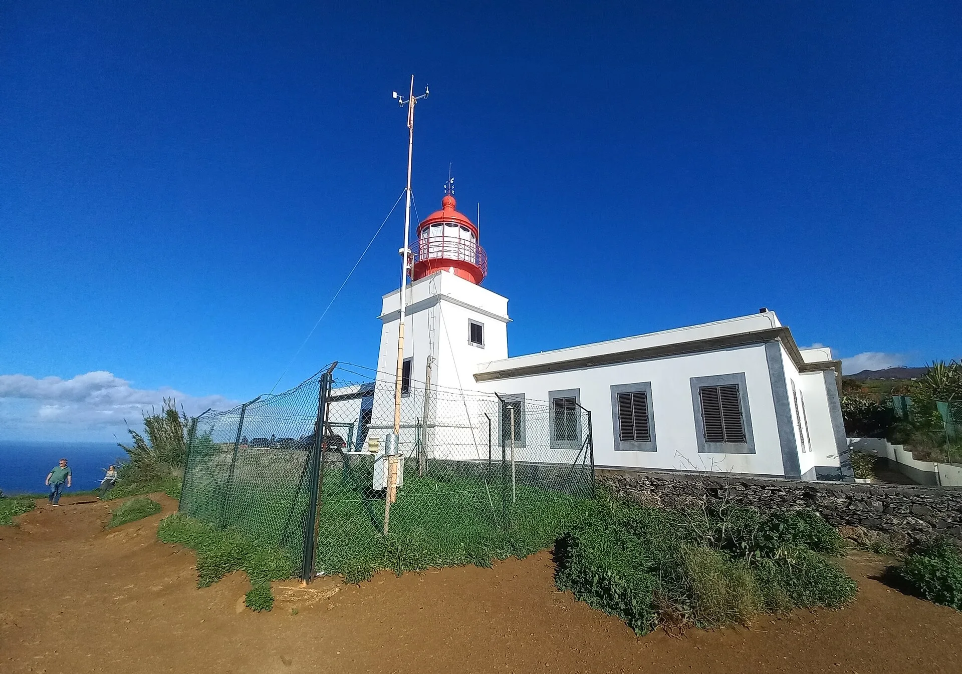
According to the institutional sources consulted, the sea route off Ponta do Pargo was long regarded as dangerous for navigation, which led to the construction of a lighthouse on an elevated rock point at Ponta da Vigia. The lighthouse came into operation in June 1922. The same source states that the tower is 14 metres high and that the light is positioned at an altitude of 312 metres. These figures show the logic of the site: rather than relying only on the built structure, the lighthouse makes use of the natural height of the cliff to improve its reach and effectiveness.
Its classification as Heritage of Local Value adds another layer of significance. In Madeira, that designation recognises not just a working nautical structure, but also a place that forms part of the historical landscape and collective memory of the locality.
The small museum nearby
Next to the lighthouse there is also a small museum, created in 2001. It displays items related to Madeira’s lighthouses, together with photographs and documentary material on the subject. This matters because it turns the site into a place where visitors can understand the broader history of lighthouse keeping in the archipelago, rather than seeing only a single technical installation. In heritage terms, the area combines infrastructure, landscape, and interpretation in one visitable setting.
Place in the wider Ponta do Pargo landscape
Official cultural information about Ponta do Pargo notes that the locality’s origins go back to before 1560, and emphasises its long-standing relationship with agriculture and settlement. Within that context, the lighthouse stands out as one of the most visible expressions of the human relationship with a coastline once considered challenging for maritime travel. The wider Ponta do Pargo area is also described as having relatively broad, less rugged terrain than many other parts of Madeira, helping explain the continuity of habitation and agricultural use there.
For that reason, Ponta do Pargo Lighthouse should be understood on three connected levels: as a maritime structure brought into service in 1922, as a protected heritage site of local value, and as a landscape marker at one of Madeira’s westernmost edges. Its importance comes from the combination of function, history, and place.