
Short answer: how big is Madeira Island?
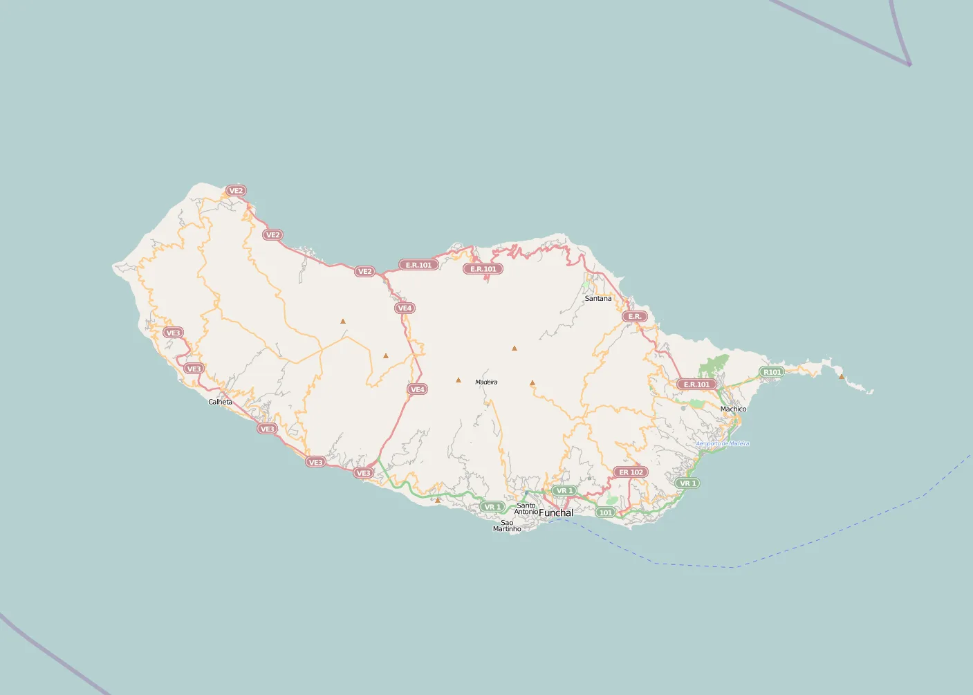
Madeira Island has an area of 741 km². In linear terms, it is commonly described as about 57 km long and 22 km wide. Those figures give an immediate sense of scale: Madeira is a fairly compact island, but still large enough to contain a striking range of landscapes.
In practical terms, Madeira is not a huge landmass by continental standards, yet it is not a tiny Atlantic island either. Its elongated shape means that many journeys are short in distance, even if the mountainous terrain can make them feel longer than the map suggests.
Why area does not tell the whole story
If the question is only “how many square kilometres does Madeira have?”, the answer is straightforward: 741 km². But to understand what that number really means, you also need to look at the island’s shape, elevation, and relief. Madeira is well known for its mountainous interior, with Pico Ruivo standing as the island’s highest point.
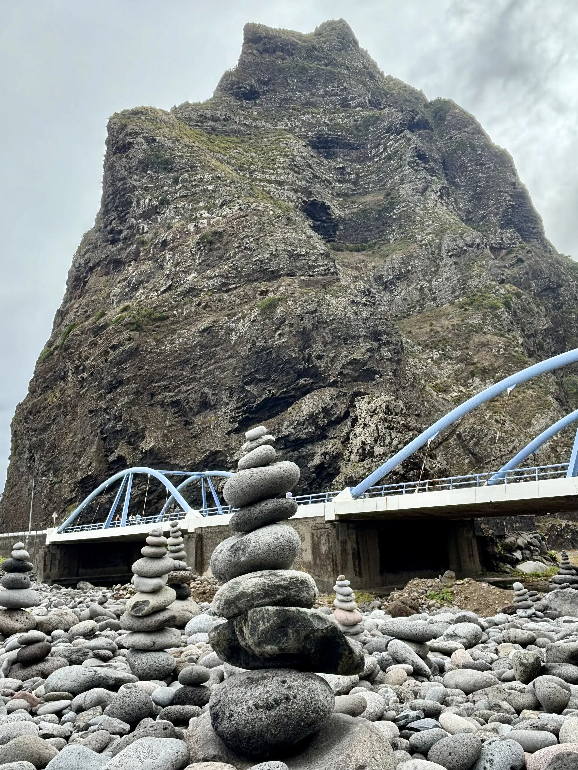
That topography explains why Madeira often feels larger than its size on paper. A flat island and a mountainous island with the same area offer very different experiences. In Madeira, steep slopes, ravines, ridges, and coastal cliffs create a strong sense of spatial diversity. Over just a few kilometres, the landscape can shift from urban or agricultural areas to high mountains, dense forests, and dramatic coastline.
So when someone asks “how big is Madeira Island?”, the fuller answer is not just a number. It is the idea of a moderately sized island with powerful relief, where geography concentrates many different experiences into a relatively small space.
Length, width, and island shape
The commonly cited measurements of about 57 km in length and 22 km in width help describe Madeira as a narrow, elongated island. That shape has several consequences. First, the sea is never far away in visual terms. Second, the distance between the coast and the highest ground is relatively short in many places. Third, the island’s form creates sharp contrasts between areas that are physically close to one another: coast, mid-slopes, high ridges, and uplands can appear in quick succession.
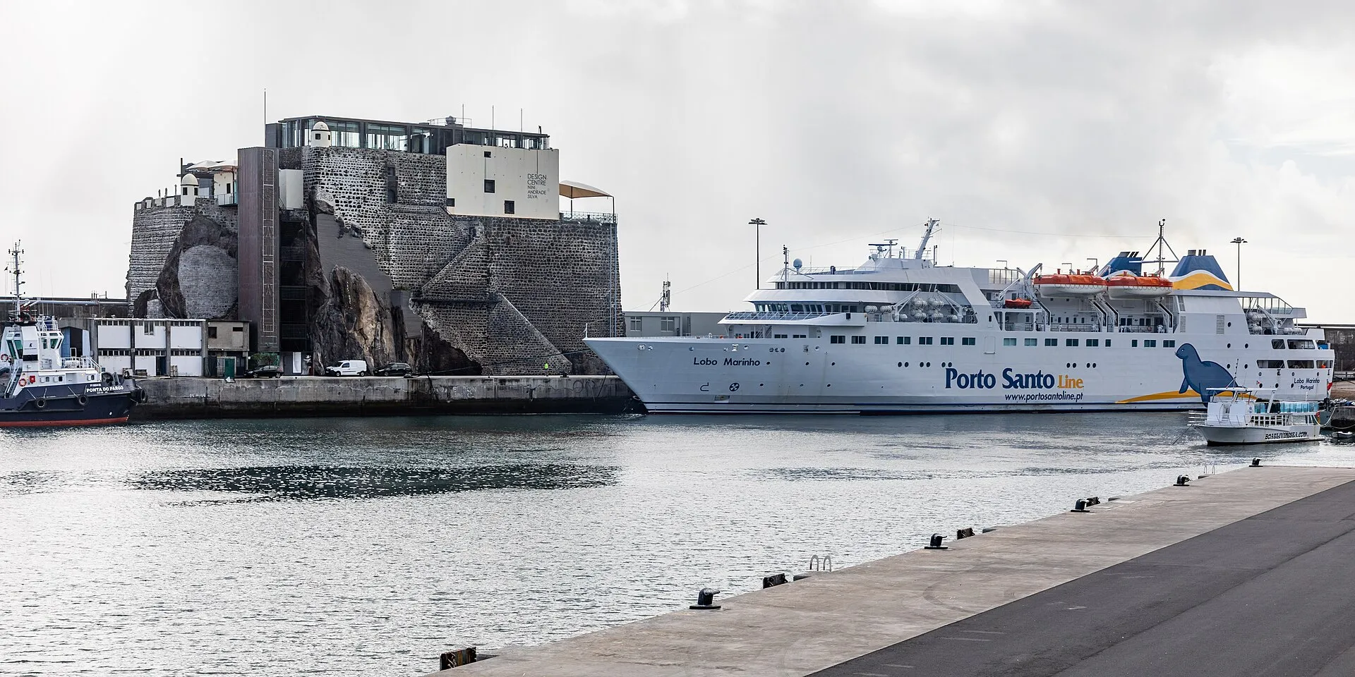
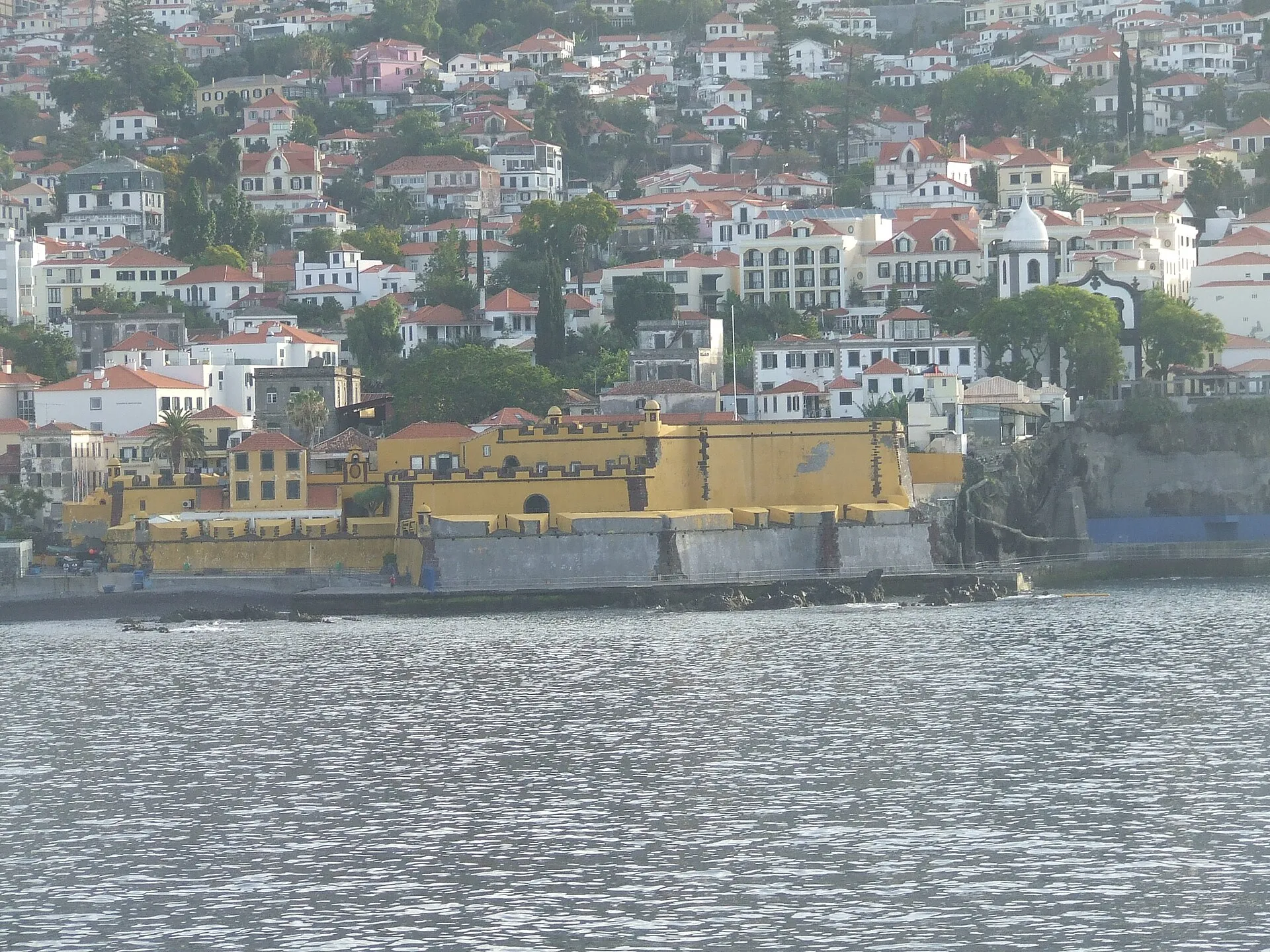
The coastline also matters. Standard reference sources describe Madeira as having a coastline of about 144 km. For an island of 741 km², that relation between area and coastal perimeter helps explain its fractured, intricate appearance. The shoreline is not uniform; it alternates between cliffs, coves, bays, urban waterfronts, and more abrupt stretches. In other words, Madeira’s size is measured not only by area, but also by the amount of coast exposed to the ocean.
Madeira in the archipelago context
Madeira Island is the largest island in the Madeira archipelago and the main inhabited island in the group. This distinction matters because “Madeira” can refer either to the island itself or to the broader archipelago. When the topic is the island’s size, the key figure is 741 km². When the topic shifts to the archipelago, other islands and islets also come into view, including Porto Santo and the remaining island groups associated with the autonomous territory.
That distinction helps avoid a common source of confusion. In everyday speech, “Madeira” often means the travel destination or the autonomous region, but the question “how big is the island?” requires a narrower geographic focus. In that sense, it is useful to separate Madeira Island from the Madeira archipelago: the first is a specific landmass, while the second is a wider island group under the same regional administration.
What the island’s scale means in practice
Madeira’s size shapes how it is experienced by residents and visitors. An island of 741 km² can often be crossed relatively quickly between key points, but mountains and steep gradients change the practical feel of distance. Madeira is compact in horizontal extent, yet rich in geographic variation.
That compactness helps explain why the island is often experienced as a place where many landscapes can be encountered in a short trip. A single itinerary can move from coastal areas to city districts, terraced farmland, humid slopes, upland forests, and viewpoints over the sea. Big changes in scenery do not require long distances.
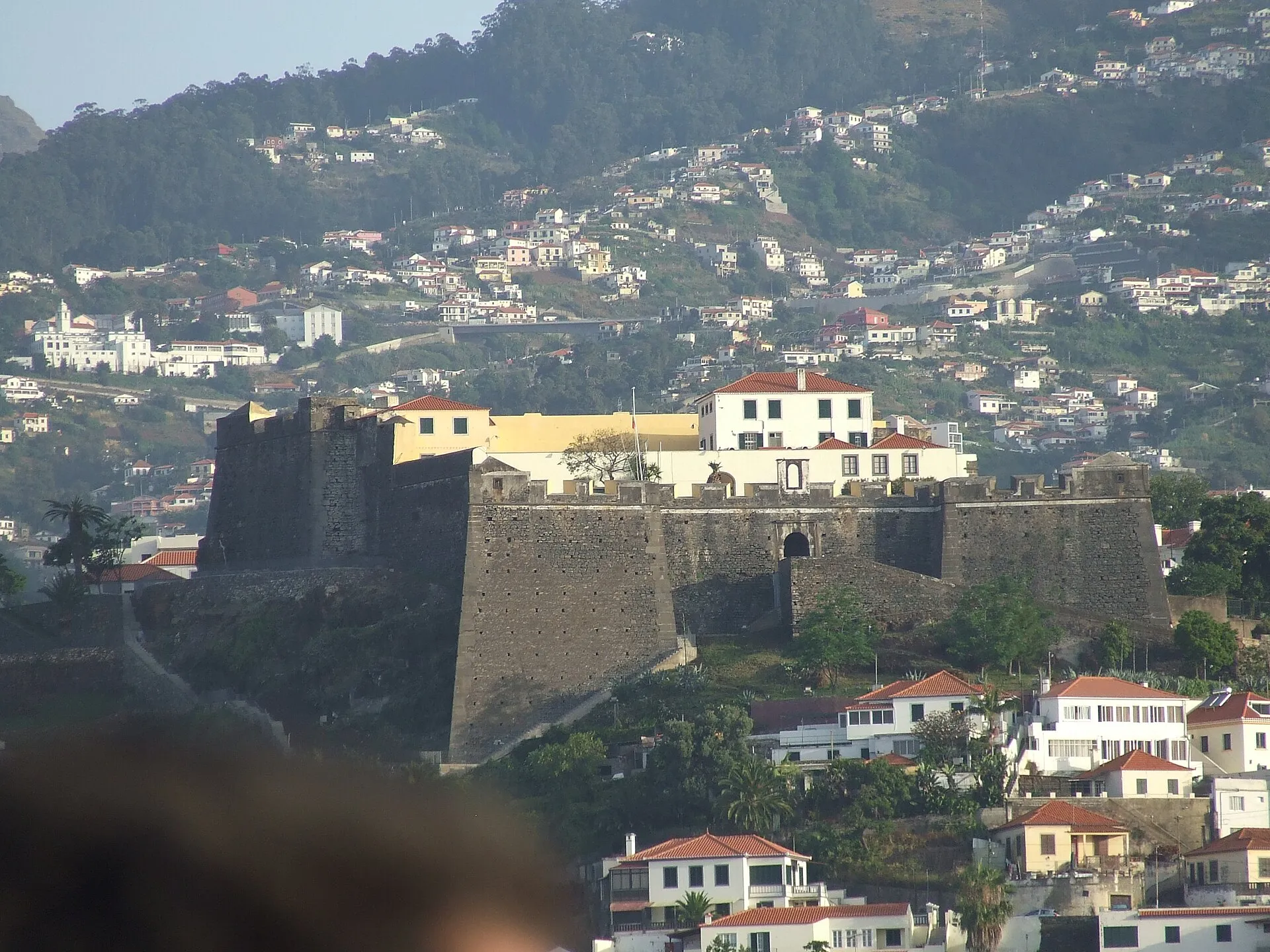
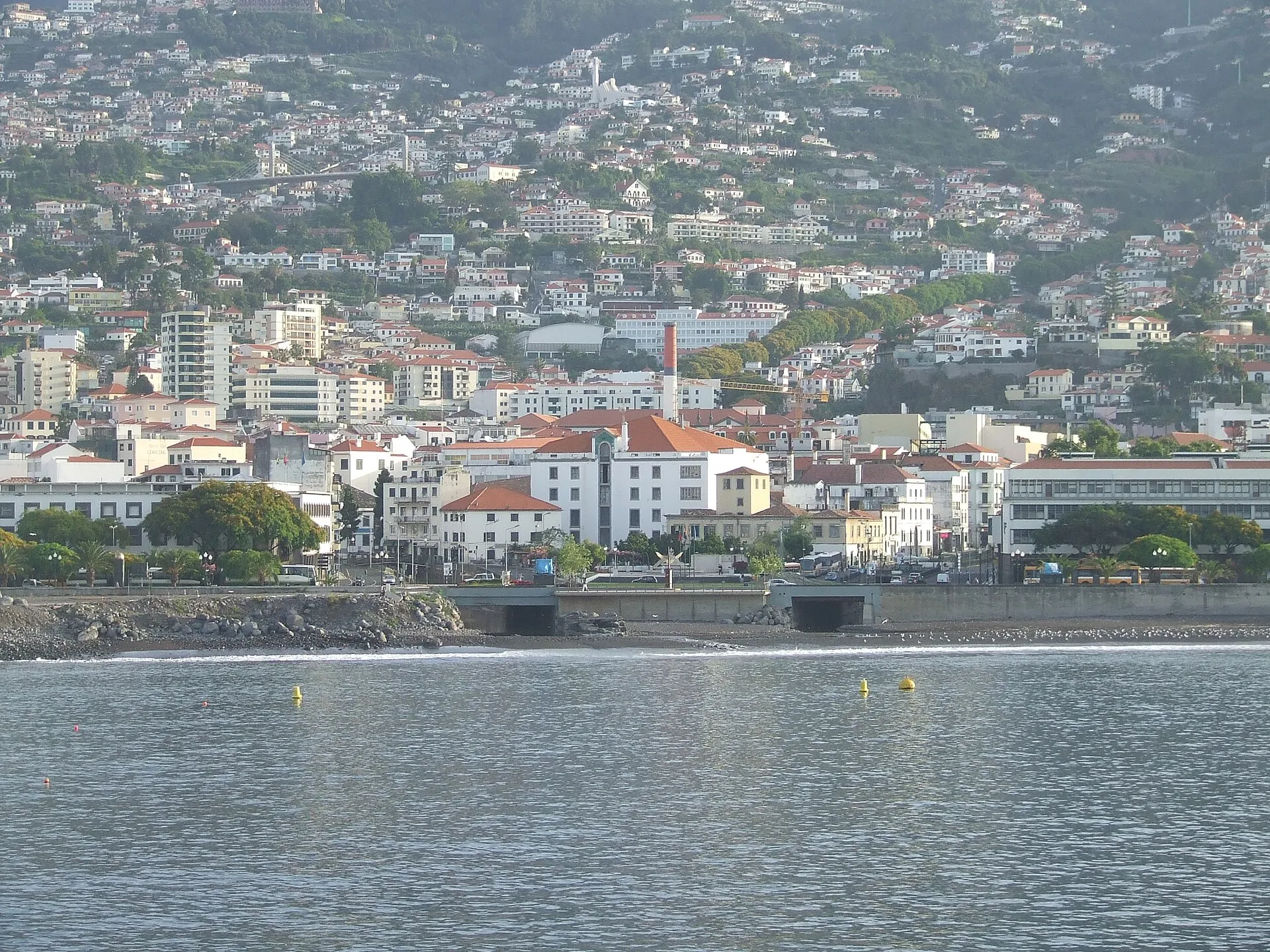
Relief also affects settlement patterns. The more accessible areas tend to hold the main urban and suburban concentrations, while steep or higher zones are less suited to continuous settlement. That does not mean the mountains are empty; rather, land use adapts to a broken and irregular terrain.
Mountain, coast, and the feeling of scale
Seen only as a number, 741 km² sounds moderate. But the real experience of Madeira is shaped by verticality. The island’s relief compresses distance, so the space between sea level and the central peaks is substantial enough to reshape movement and visibility. Instead of a flat surface, Madeira presents a sequence of terraces, valleys, and ridges that constantly alter how the island is read on the ground.
That is why Madeira can be described as small in extent but large in character. Its limited area, indented coastline, and mountainous interior create a dense landscape. In many places, the proximity of ocean and high ground intensifies the sense of place: the island does not feel spread out, but concentrated.
This concentration also has a cultural dimension. On a relatively compact island, towns, farmland, woodland, and leisure spaces exist in close proximity. The result is a territory where contrasts are highly visible and where scenery changes quickly.
How to interpret the figure 741 km²
The figure of 741 km² is the most useful starting point for any answer about Madeira’s size. It gives the island’s total surface area, but it should not be read alone as a complete description of the island’s geography. To understand Madeira properly, that number should be read together with its length, width, elongated shape, mountainous interior, and coastline that is long relative to the island’s total area.
In practice, this shows that Madeira is an island of human scale: small enough to become familiar relatively quickly, yet complex enough to remain surprising. Its territorial size does not make it simple; rather, its shape and relief create a diversity that cannot be reduced to a single figure.
One-sentence answer
In one sentence: Madeira Island is 741 km², about 57 km long and 22 km wide; it is the largest island in the Madeira archipelago and a mountainous Atlantic island whose compact scale conceals a remarkable variety of landscapes.
A useful intuitive comparison
A simple way to think about Madeira is this: it is not “big” in the sense of covering vast distances, but it is not a small speck on the map either. Its scale sits in an intermediate range, where geography matters more than absolute area. The mountains compress practical distance, the coastline opens the island to the ocean, and the valleys organise movement and settlement.
That is why the question “how big is Madeira Island?” has two complementary answers. The numerical answer is 741 km². The geographic answer is that this area is arranged in such an uneven, compressed, and dramatic terrain that the island feels much larger and more varied than its surface area alone would suggest.