
A landscape-led island
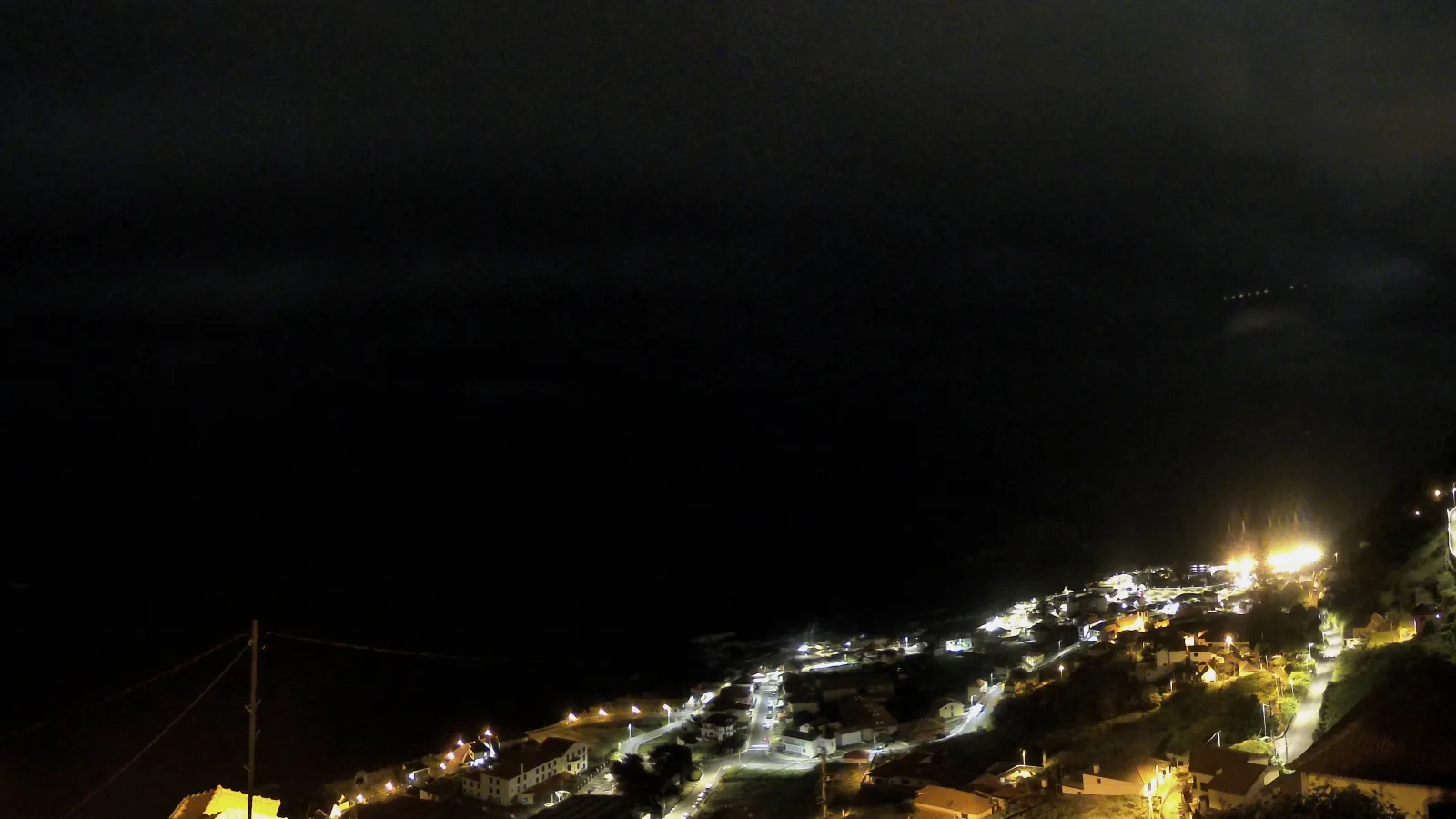
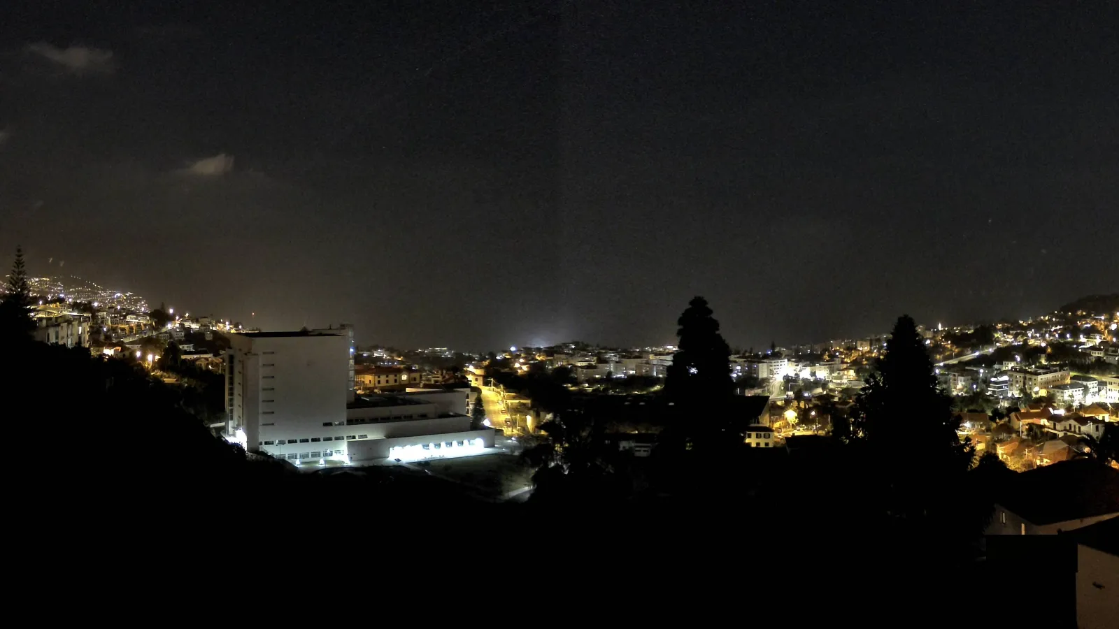
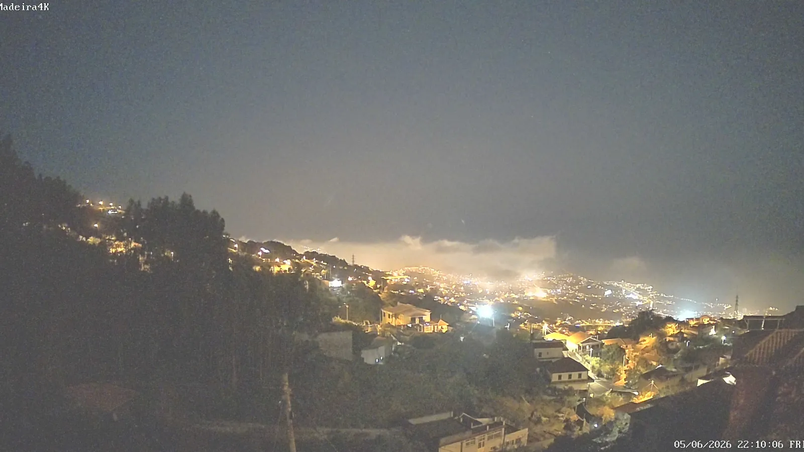
Madeira is a destination where geography shapes the visitor experience. The largest island in the Madeira archipelago combines steep relief, deep valleys, high cliffs, narrow coastal strips and a mountainous interior that influences both the roads and the viewpoints. That is why many of its best-known attractions are not standalone monuments, but places to look out from, walk through, or experience as part of a wider landscape.
For anyone researching attractions in Madeira, the key idea is that the island is best understood as a network of complementary experiences: cable cars, scenic walks, historic gardens, protected natural areas and dramatic lookout points. This diversity is one reason Madeira appeals to both nature-focused travellers and visitors interested in landscape, heritage and urban scenery.
Funchal and Monte: gardens, cable cars and bay views
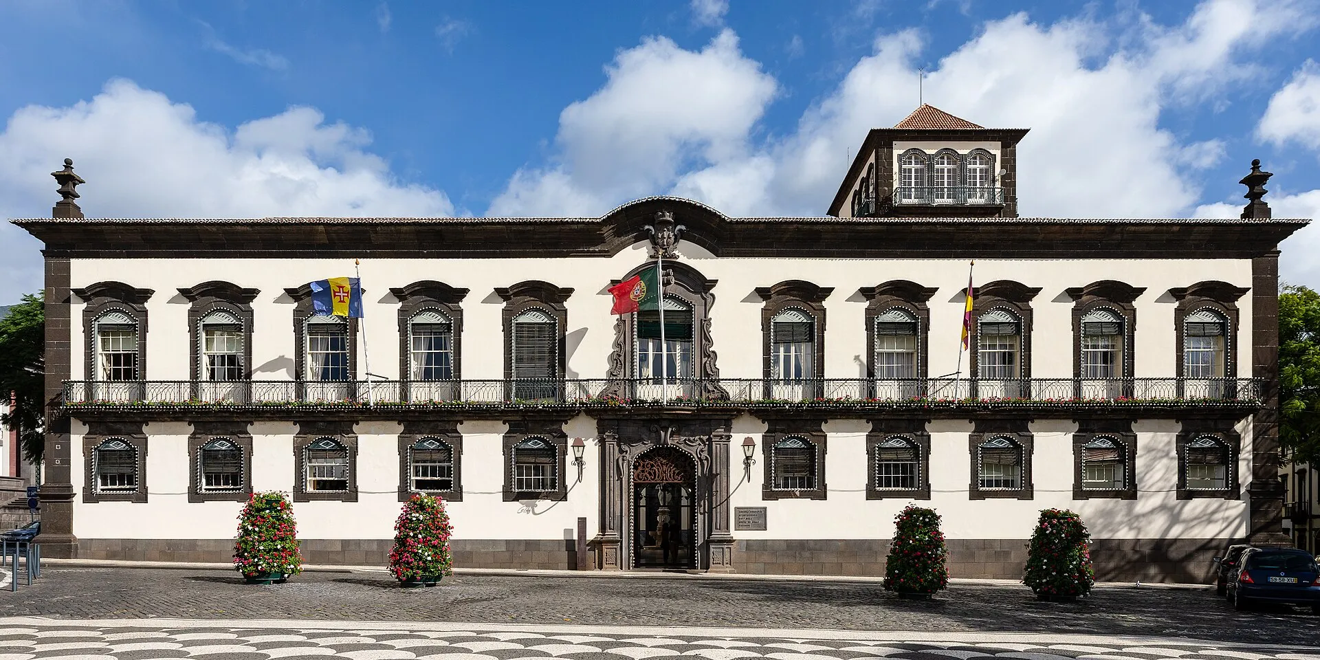
Funchal, the capital, is one of the main starting points for exploring the island. A signature experience is the Funchal Cable Car, which links the city centre with Monte and turns the climb into a panoramic journey over the capital. Another is the Botanical Garden Cable Car, which connects Largo das Babosas to the Madeira Botanical Garden and crosses the Ribeira de João Gomes valley. Together, these cable cars make the city’s topography part of the attraction.
Monte contains some of Madeira’s most visited places. Monte Palace Madeira combines exotic planting, water features and art within a setting overlooking Funchal’s bay. Nearby, the Madeira Botanical Garden offers a different perspective, presenting a wide botanical collection and a more interpretive view of plant life on the island and beyond. These gardens complement the viewpoints and give visitors a more curated reading of Madeira’s vegetation.
Monte is also known for the traditional wicker-like sledges, locally associated with the famous Monte sledges. Visit Madeira describes them as one of the island’s most popular attractions and traces their origins to the early nineteenth century. They remain a distinctive part of Monte’s identity, linking local history, steep streets and tourism.
Coastal viewpoints: Cabo Girão and the island from above
Among Madeira’s most famous attractions is Cabo Girão, a cliff viewpoint at 580 metres that Visit Madeira identifies as the highest cape in Europe. Its suspended glass platform has made it one of the most visited and photographed places on the island. The attraction works not only as a lookout, but also as a way to understand the south coast, the cultivated fajãs below the cliffs and the large urban amphitheatre stretching between Câmara de Lobos and Funchal.
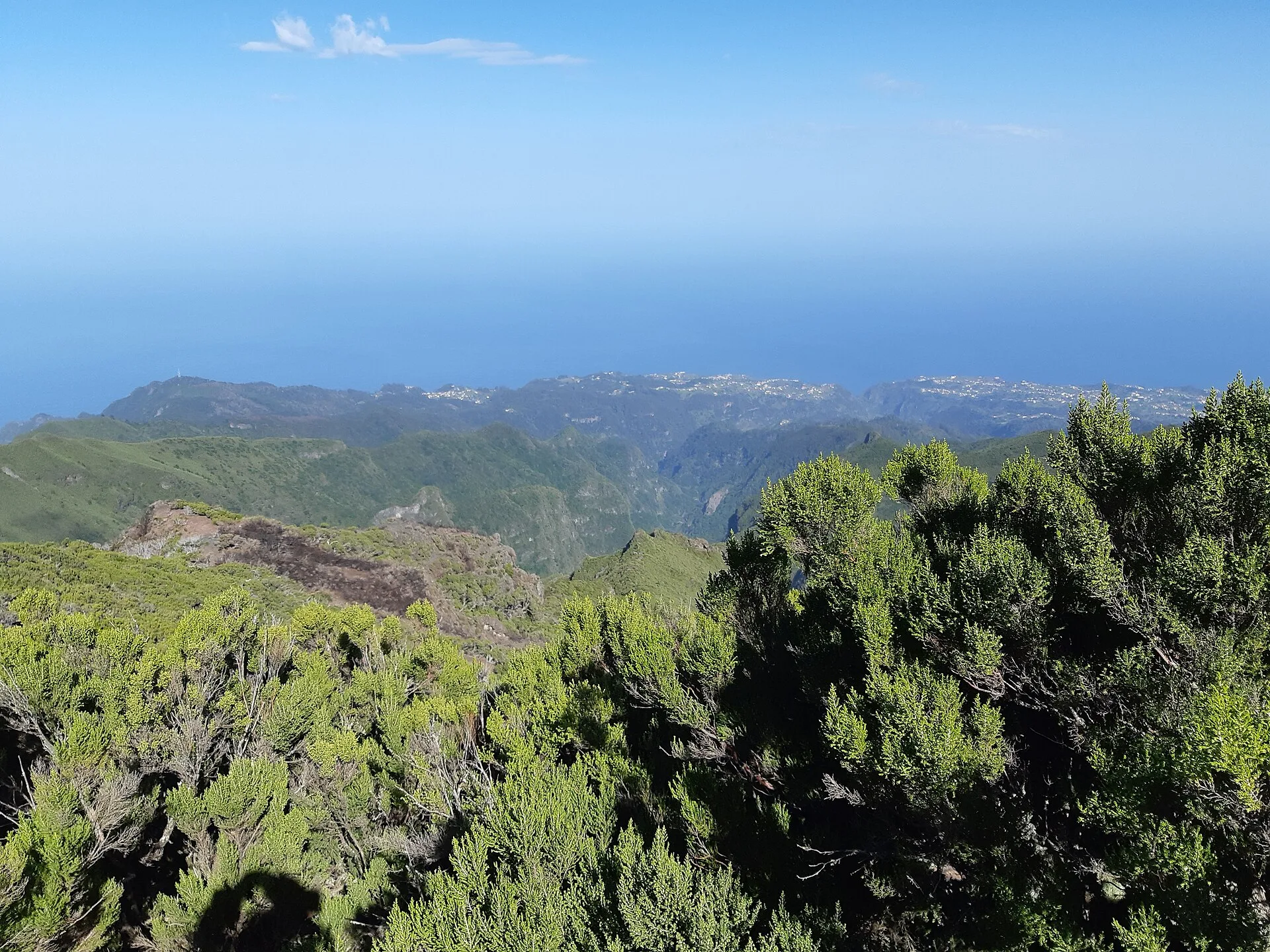
Viewpoints are central to the Madeira experience. Many of them are positioned to reveal cliffs, valleys, the Atlantic Ocean and human settlement in a single glance. In Madeira, looking out is itself a form of interpretation: the island’s landscapes are often best understood from elevated vantage points rather than from the road or the town below.
Laurisilva and levadas: nature, heritage and walking
One of Madeira’s defining features is its Laurisilva, the UNESCO-listed site that conserves the largest surviving area of primary laurel forest. UNESCO describes it as a relict of a once wider forest type and notes its biodiversity value, including endemic species and its importance for the island’s hydrological balance. The forest is one of the clearest symbols of Madeira’s ecological significance.
Closely linked to this landscape are the levadas, the water channels built to carry water across the island. UNESCO explains that settlers created them along contours, cliffs and valleys, and that they have historically served agriculture, drinking water supply and irrigation. Today, many levadas are also walking routes, so they function both as infrastructure and as one of Madeira’s signature visitor experiences.
For travellers, walking a levada is not just a recreational outing. It is a way to engage with the island’s history of water management, its rural economy and its mountain ecosystems. This is why levadas and Laurisilva together form one of Madeira’s most distinctive attraction clusters.
Pico Ruivo: the archipelago’s highest peak
Pico Ruivo is another essential attraction. At 1,862 metres, it is the highest point in the Madeira archipelago and the third-highest point in Portugal. Located in the municipality of Santana, it offers wide views across the island and, in good visibility, can also reveal Porto Santo and the Desertas Islands. Access is on foot, which makes the climb itself part of the experience.
Pico Ruivo matters not only because of its height but because it captures the island’s identity: steep terrain, changing weather, broad views and the importance of walking as a way of understanding Madeira. For many visitors, reaching the summit or approaching it on foot is one of the most memorable moments of a trip.
Ponta de São Lourenço: the eastern tip and a drier landscape
At the island’s eastern end lies Ponta de São Lourenço, a volcanic peninsula with a very different character from the forested interior. Visit Madeira describes it as a volcanic peninsula with a semi-arid climate, exposed to north winds and marked by cliffs, sparse vegetation and open sea views. It is classified as a Partial Natural Reserve, highlighting its environmental importance.
The Vereda da Ponta de São Lourenço trail is the standard way to explore this area. Its appeal comes from the contrast between geology, sea cliffs, open horizons and the peninsula’s relatively dry vegetation. If Laurisilva represents Madeira’s green, humid side, Ponta de São Lourenço shows its more exposed and austere face.
Santana and the island’s built identity
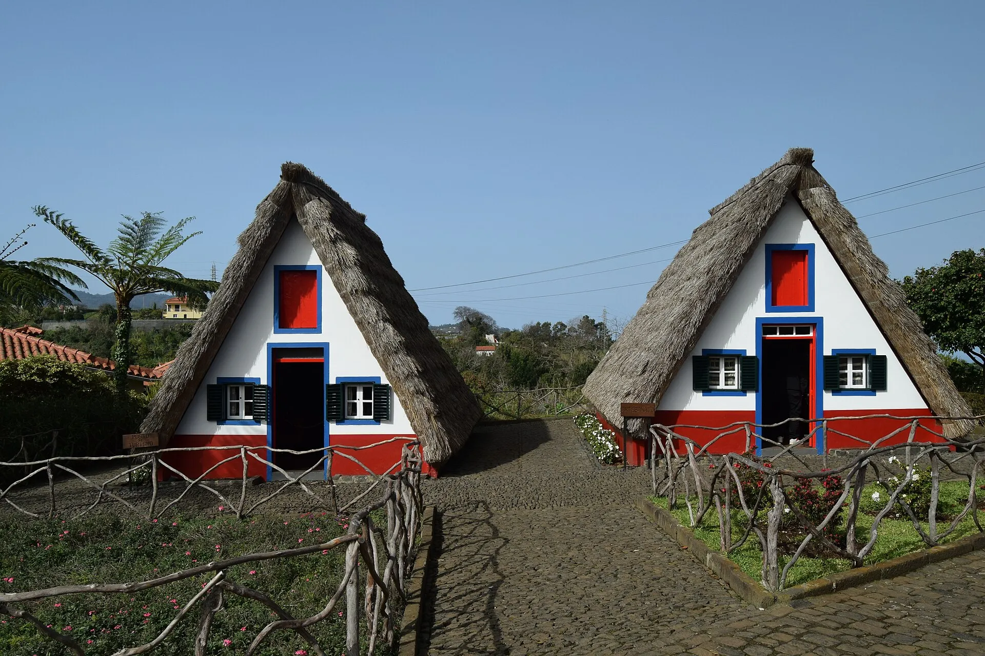
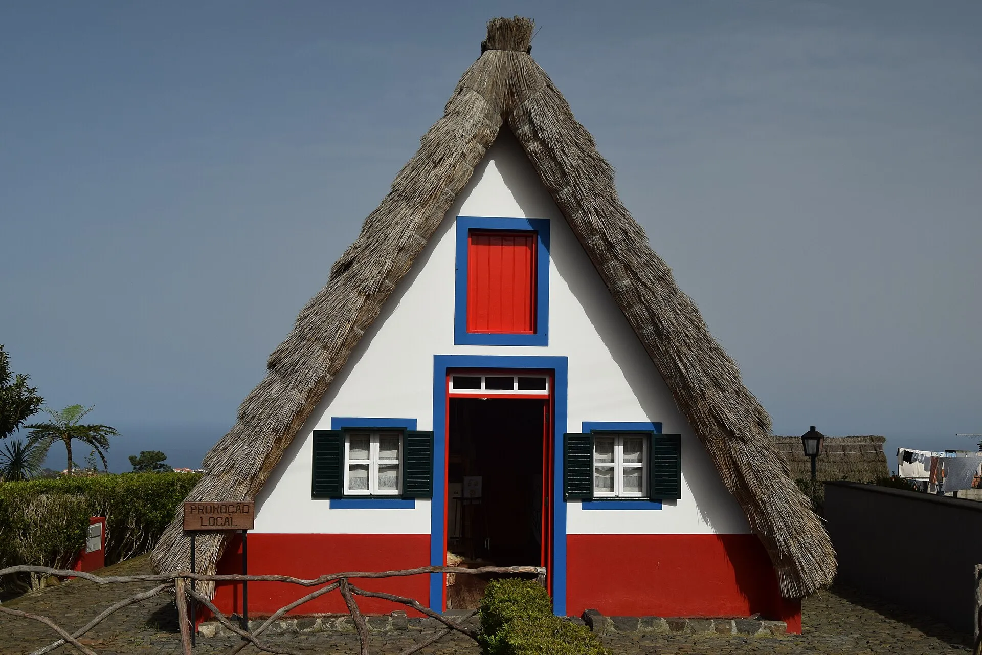
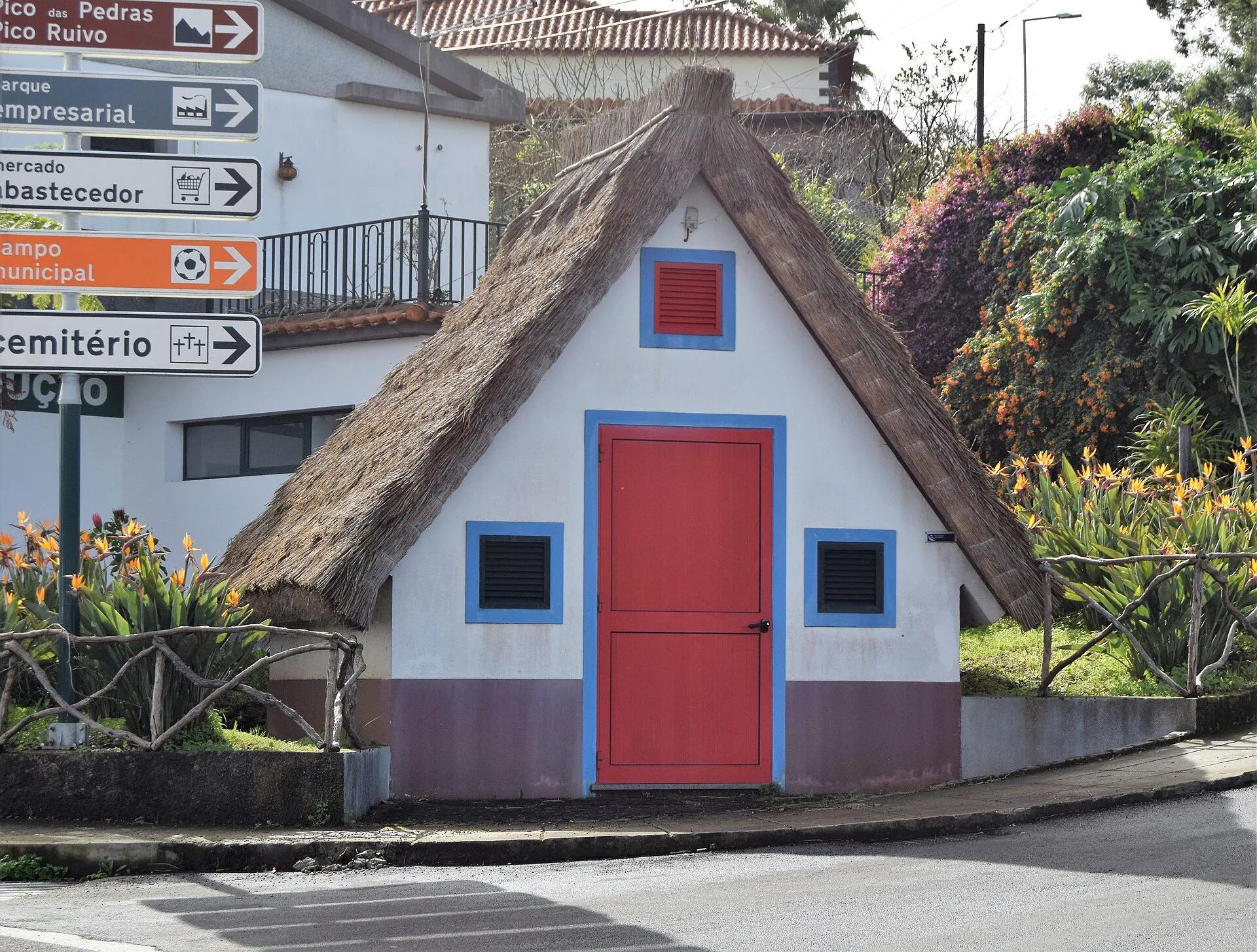
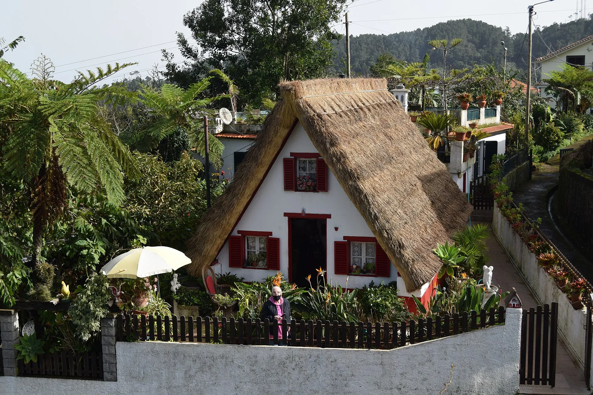
Madeira’s attractions are not limited to natural scenery. In Santana, the traditional triangular houses with thatched roofs have become one of the archipelago’s most recognisable symbols. Visit Madeira presents them as one of Madeira’s most identifying icons and points to their historical use of locally available materials. For many visitors, they provide an important human and architectural counterpoint to the island’s mountain and coastal scenery.
Taken together, these places show that Madeira is best explored as a set of linked experiences: city and mountain, coast and interior, gardens and forest, infrastructure and trail. The island is compact, but its attractions are unusually varied, and the landscape itself is the common thread running through them all.
How to approach a first visit
For a first-time visitor, it helps to organise Madeira by theme. One part of the trip can focus on Funchal and Monte, with cable cars, gardens and urban viewpoints. Another can be devoted to the dramatic natural landscapes of Cabo Girão, Ponta de São Lourenço and Pico Ruivo. A third can centre on levada walks and Laurisilva, which provide the ecological and historical context that makes Madeira’s scenery more meaningful. This approach prevents the island from feeling like a list of attractions and instead reveals how its landscapes, settlements and water systems fit together.