
Why Madeira is such a strong hiking destination
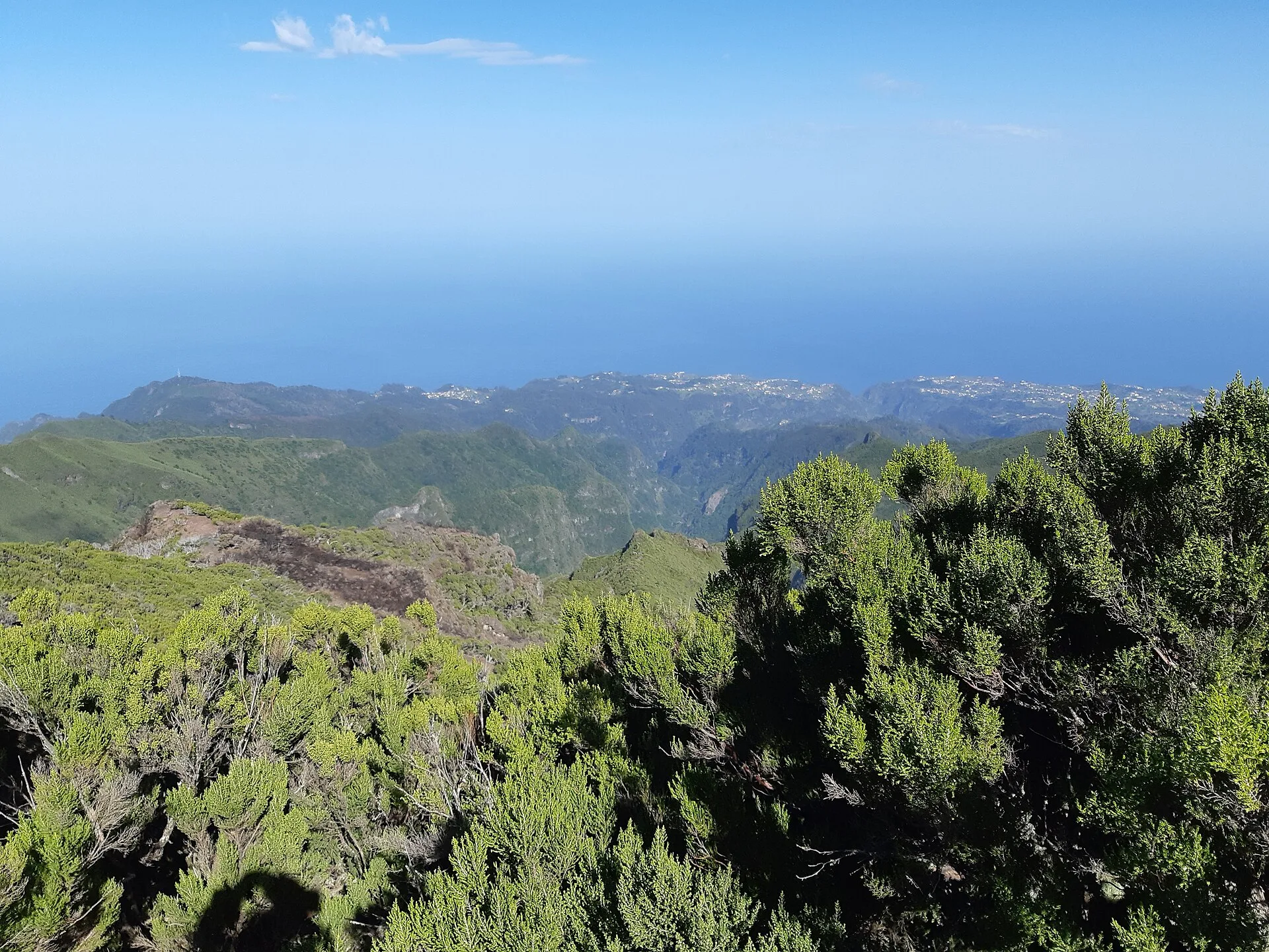
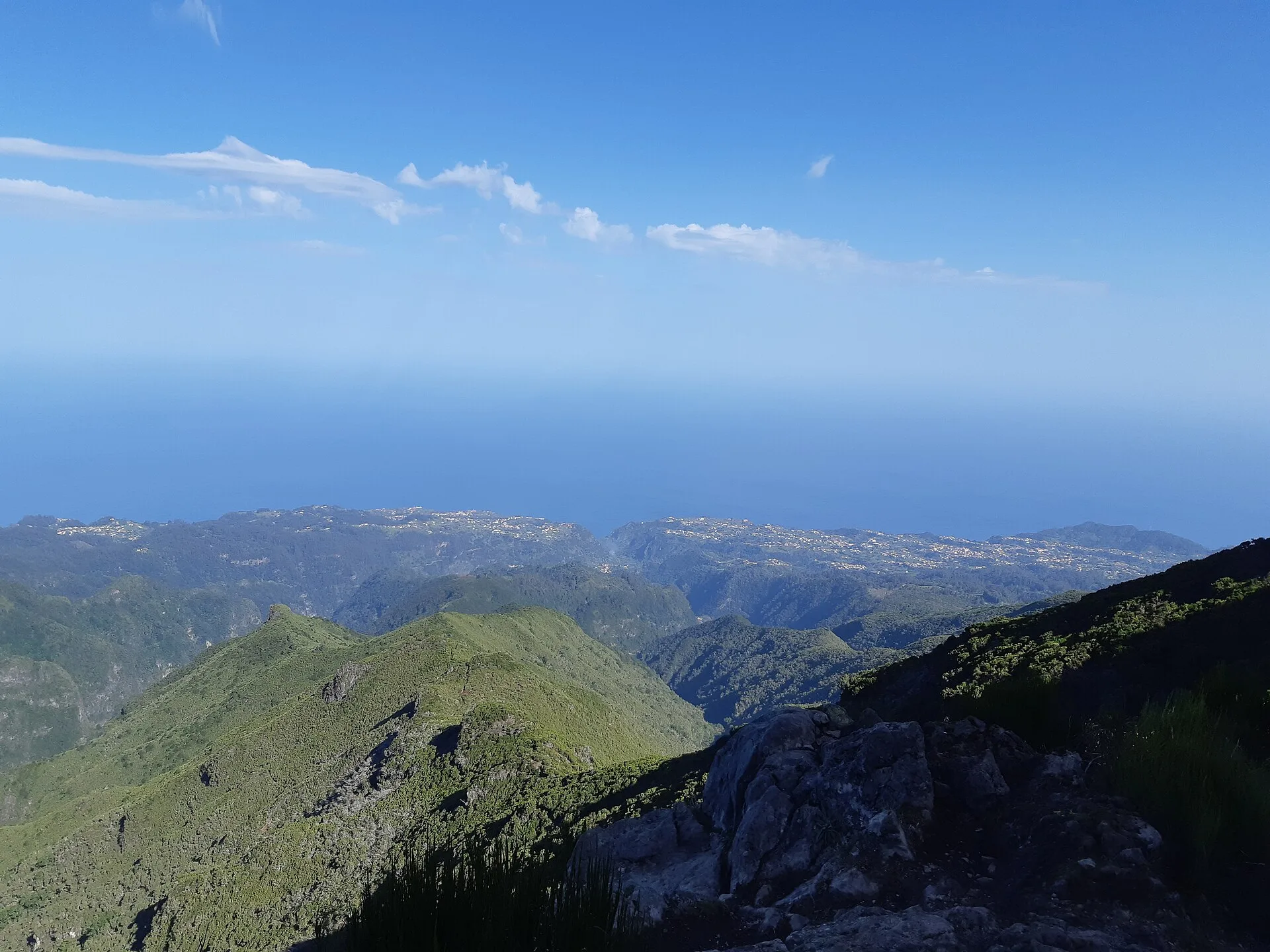
Madeira has become internationally known as a hiking destination because it combines mountains, cliffs, deep valleys, humid forests, and coastal scenery in a relatively compact territory. Much of the trail network follows levadas and veredas, two features that help define the island’s hiking identity. Levadas are irrigation channels that also function, over time, as access routes; veredas are paths that connect different parts of Madeira’s steep terrain. Together, they turned a historic water system and its access tracks into one of the island’s most distinctive outdoor experiences.
For visitors, hiking here is not only about physical activity. It is also a way to see how settlement patterns, water management, and conservation overlap on an Atlantic island. UNESCO notes that Madeira’s Laurisilva, within Madeira Natural Park, preserves the largest surviving area of primary laurel forest and plays an important role in the island’s hydrological balance. That ecological value is one reason the trails feel so closely tied to the landscape rather than laid over it.
Levadas, veredas, and laurisilva: what the terrain feels like
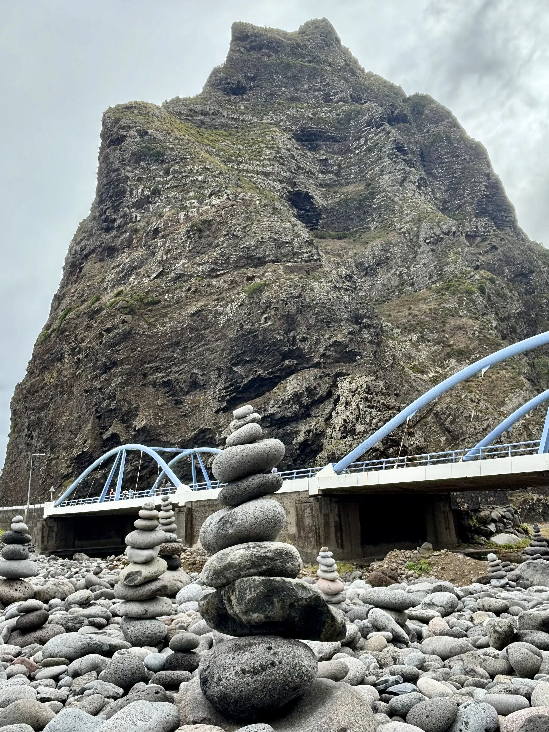
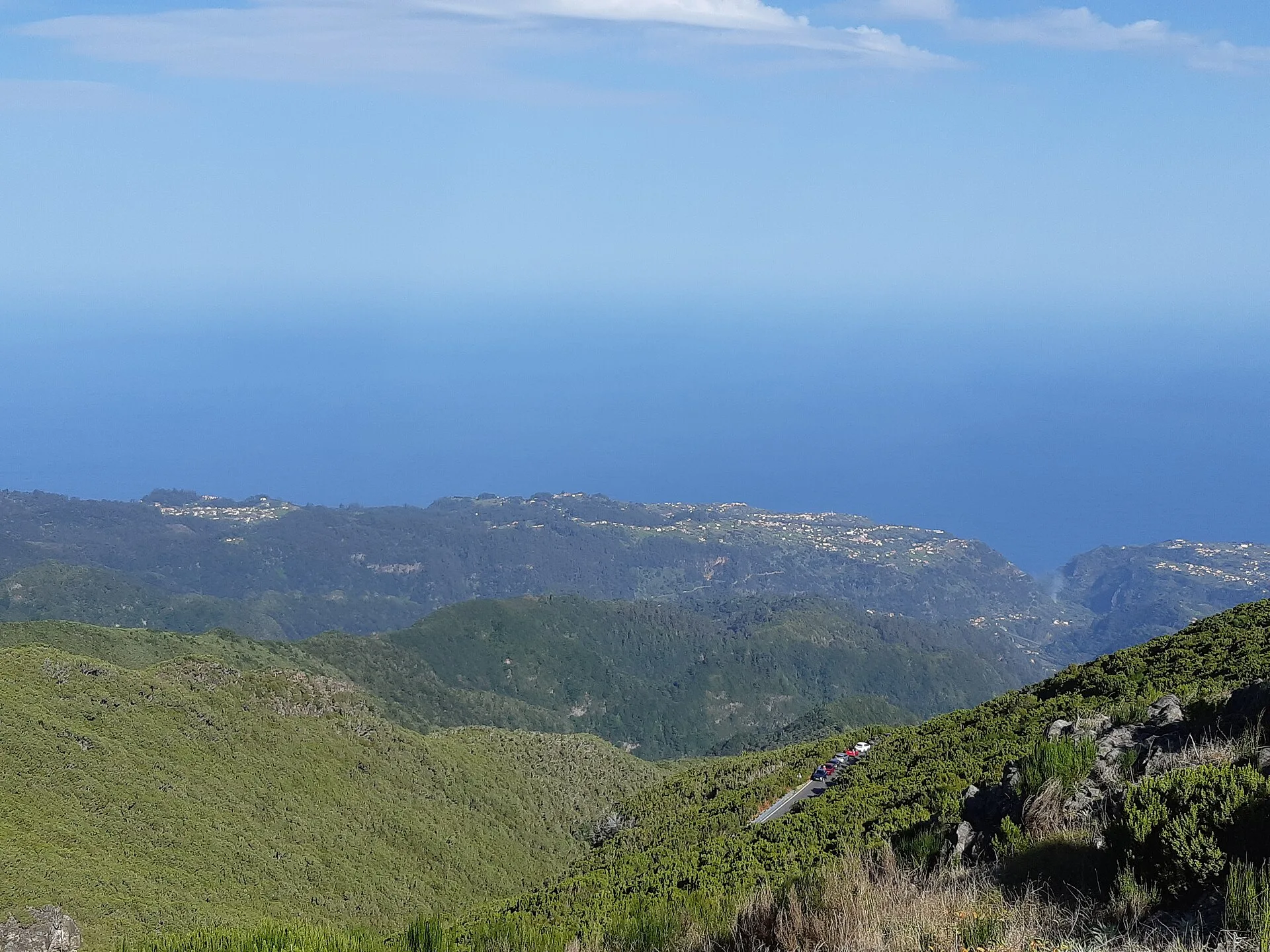
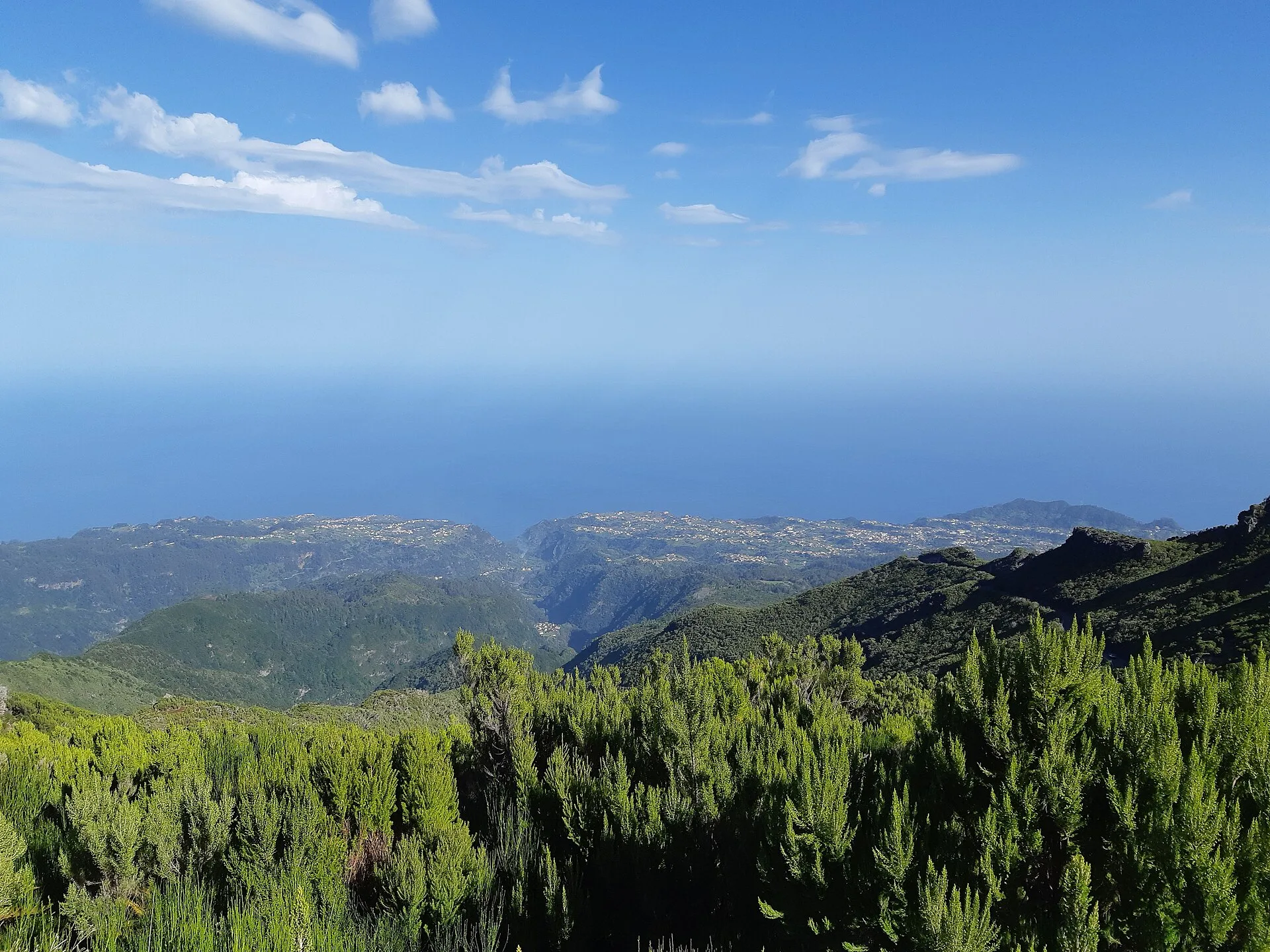
Hiking in Madeira varies a great deal. Some routes follow levadas and tend to offer a more continuous, level walk, although the terrain can still be exposed and narrow in places. Others climb ridges, cross mountain shoulders, or connect different elevations across the island’s dramatic interior. There are also coastal routes in the east, where the scenery opens into windier, drier landscapes with volcanic headlands and broad sea views. The island’s official tourism board highlights this range very clearly, describing hiking as a way to experience mountains, ocean, forests, waterfalls, and viewpoints.
One of the most memorable elements of Madeira walking is the passage through laurisilva forest. UNESCO describes the Laurisilva of Madeira as an outstanding relict of a once widespread laurel forest type and identifies it as the largest surviving area of such forest. For hikers, that means many trails pass through landscapes of exceptional ecological interest, with evergreen vegetation, deep ravines, and moisture-rich environments that feel very different from typical dry island walks.
How the official trail system works
Madeira’s classified hiking routes are managed through an official PR system. According to the island’s tourism board, trail status is shown as open, restricted, or closed, and walkers are advised to check the status before setting out because conditions can change for weather or safety reasons. The same official guidance says that reservations for classified walking routes must be made online through the SIMplifica digital portal.
This matters because not every route is available at all times. The official hiking information can show a trail as open, restricted, or closed, so planning needs to begin with the specific route and its current status on the day of the walk.
Booking, rules, and responsible behaviour
Hiking in Madeira is framed not just as recreation, but as environmental responsibility. The official tourism site publishes a walking code that includes avoiding unnecessary noise, not removing plants or animals, not littering, not lighting fires, and not dropping cigarette ends on the ground. This same guidance presents the classified trails as sensitive natural spaces that should be treated with care.
Official information also states that entering a classified walking route without a valid reservation is an infringement. In practice, that means the hiking experience on Madeira is now shaped by a strong conservation and management framework, rather than by informal access alone.
Examples of routes and how to read them
Some of the best-known official trails include Vereda do Areeiro, Vereda do Pico Ruivo, Levada das 25 Fontes, and Ponta de São Lourenço. Their appeal lies not just in fame, but in the different ways they reveal the island. The Areeiro and Pico Ruivo routes point to Madeira’s central mountain spine; Levada das 25 Fontes links hiking to the island’s historic water system; Ponta de São Lourenço leads to the eastern tip, with open views over both sides of the island and a more exposed coastal landscape.
Another useful example is the Levada do Furado. The official tourism page describes it as following one of the island’s oldest public levadas, stretching 11 kilometres and taking about five hours to complete. That kind of route makes it clear that hiking in Madeira is often also a way of following the island’s water history and rural infrastructure.
What makes Madeira different from many other hiking destinations
What sets Madeira apart is not simply the number of trails, but the way historic infrastructure and natural systems overlap. Levadas began as irrigation channels, and the UNESCO nomination for the levadas notes that they also serve as access routes to agricultural and forest areas. In practical terms, hikers are walking through a landscape shaped over centuries to move water, support settlement, and connect difficult terrain.
At the same time, the island’s sensitive ecosystems require a careful approach. UNESCO recognises Madeira’s Laurisilva as World Heritage because of its ecological importance, endemic species, and hydrological role. That helps explain why trail management is so structured and why checking route status is not an optional extra but a core part of trip planning.
How to plan a good walk
The best way to plan a hike in Madeira is to choose a trail based on the kind of scenery you want, the time you have, and your comfort with mountain terrain. Then check whether the route is open and whether it requires a reservation using the official channels. The island’s tourism board specifically recommends confirming trail status before walking, because conditions can change.
It is also worth reading the official description of the route you choose. Some walks are more linear, some have more exposure, some are longer, and some pass through tunnels, ridges, or coastal headlands. In Madeira, the most rewarding choice is usually not the most famous trail, but the one that best matches your aims for the day. The appeal of the island lies as much in the sequence of landscapes as in any single viewpoint.
Reading the island through its trails
Hiking in Madeira is, in a sense, a way of reading the island. Levadas show the ingenuity of water management and adaptation to steep terrain. Veredas connect valleys, mountains, and settlements. Laurisilva shows the continuity of a rare and ancient ecosystem. Together they make Madeira a place where hiking is more than a leisure activity: it is a direct encounter with the island’s geography, history, and conservation priorities.