
Overview
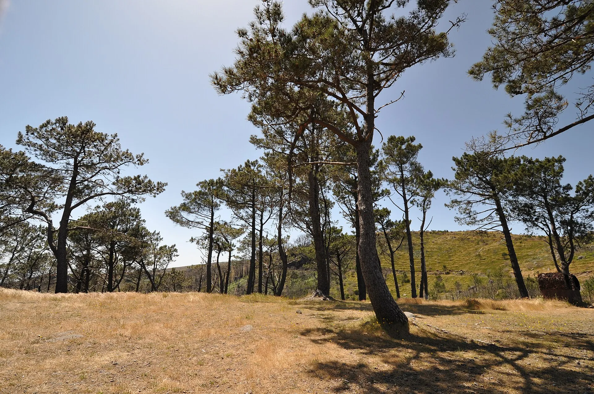
The Funchal Ecological Park is a large municipal environmental protection area in the mountain zone of Funchal, in the parish of Monte, north of Madeira’s capital. It is not simply a green leisure area: it was conceived as a place for conservation, environmental education, and public enjoyment, set within a steep, mountainous landscape that forms part of the wider interior terrain of the island.
According to the official sources consulted, the park was created in 1994 on the initiative of Funchal City Council. From the outset, its mission was to promote environmental education, ensure nature conservation, and provide visitors with facilities for leisure and recreation. The same official tourism source says the park currently covers about 10 km², which helps explain the range of environments contained within it.
Location and how the landscape reads
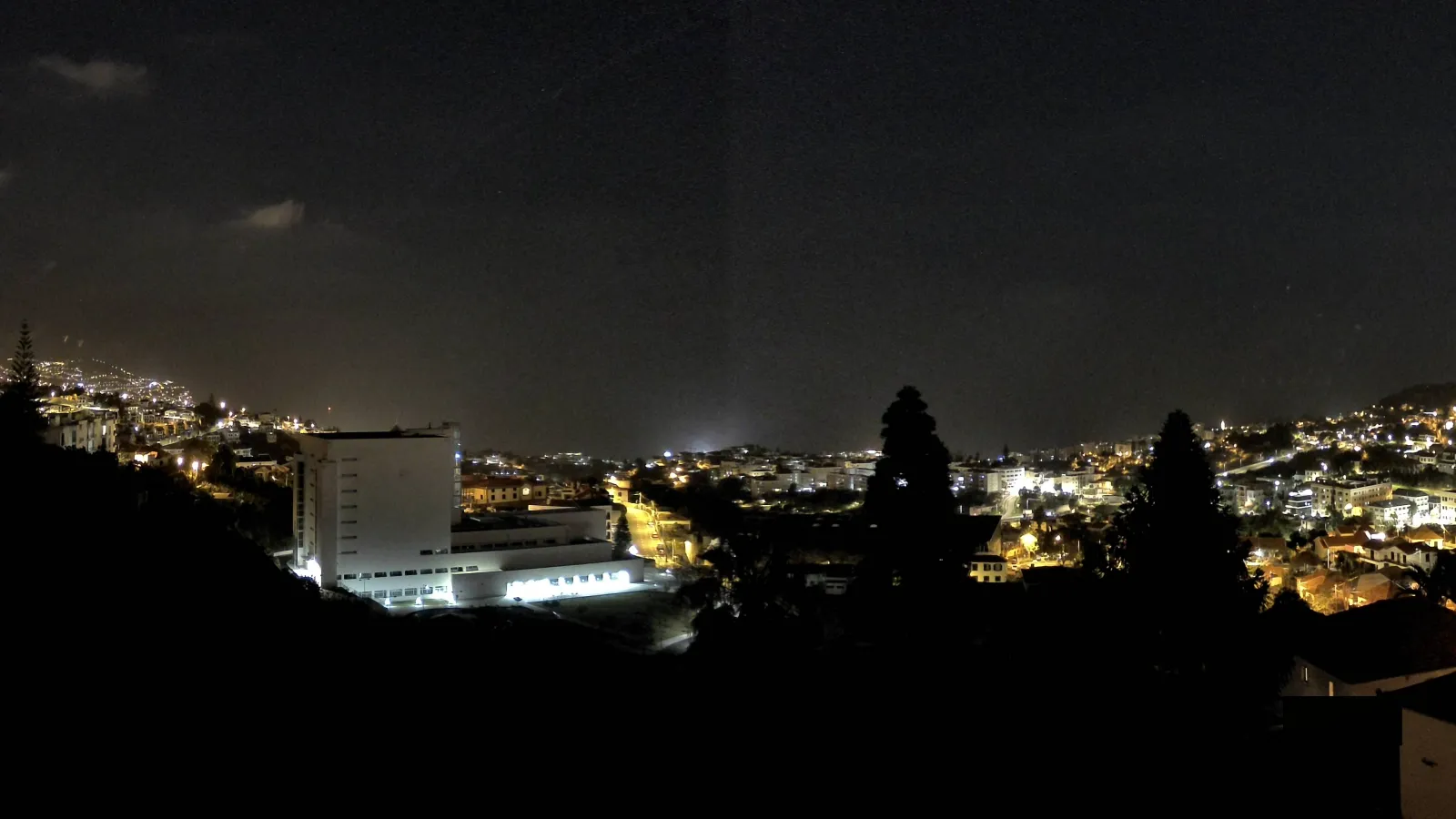
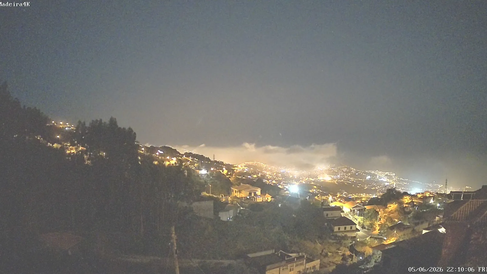
The park’s position north of the urban centre is essential to understanding its meaning. Funchal rises from the coast into the mountains, and the Funchal Ecological Park occupies precisely that transition between city and highland. From many parts of the park, visitors can see the bay, the built-up city, and the Atlantic, which makes the area useful not only for walking and sightseeing, but also for understanding how Madeira’s capital is arranged in space.
The most prominent viewpoint in the official material is Pico Alto Viewpoint, which lies within the park at an altitude of 1,129 metres. From there, visitors get an open view over the city, the bay, and the ocean, and the site is described as one of the municipality’s highest natural observatories. The same source also notes that the viewpoint overlooks Chão da Lagoa, which is part of the Funchal Ecological Park as well.
Altitude range, slopes, and ecological variety
One of the park’s defining characteristics is its strong vertical range. A municipal educational publication places the Funchal Ecological Park between 470 metres above sea level at Ribeira de Santa Luzia and 1,818 metres at Pico do Areeiro. This wide range shows that the park is not just a single slope or a single scenic point, but a broader mountain system with very different conditions from one zone to another.
That spread in elevation helps explain the diversity of vegetation, humidity, and sun exposure across the territory. The educational material consulted describes the park as an important area for nature conservation and notes the presence of native and endemic vegetation of high botanical interest. It also says the park promotes environmental education and active collaboration in the production and planting of native species, showing a practical commitment to ecological recovery and public awareness.
Environmental education and conservation
The Funchal Ecological Park has a clear educational role. Its existence responds, in part, to the need to bring urban residents and visitors closer to the ecological reality of the mountains, showing that conservation is not limited to protected areas far from the city. Here, conservation and interpretation are part of the same experience.
In practical terms, this means the park is used as a place to learn about native vegetation, reforestation, soil stabilisation, land management, and environmental risk prevention. The municipal educational publication highlights the role of plants in increasing water infiltration into the soil and in stabilising slopes, reminding readers that the Funchal mountains are also highly sensitive terrain. The park therefore functions almost like an open-air laboratory for understanding the relationship between biodiversity, relief, and environmental safety.
Chão da Lagoa, trails, and outdoor sport
One of the best-known places in the park is Chão da Lagoa, which appears both in official tourism material and in the description of the trail running route linked to the area. That route is circular, 18.83 km long, classified as difficult, and begins and ends at Chão da Lagoa in the parish of Monte. The route links Casa do Burro to Montado do Pereiro and passes places such as Levada do Blandy and Pico da Lenha, always in contact with green landscapes and with exotic botanical species along the way.
This helps show that the park is much more than a viewpoint. The Funchal Ecological Park is also a territory for slow movement and physical exertion, used for walking, trail running, and other outdoor activities. Its scale and relief allow experiences that are very different from those on Funchal’s coast: here, the visitor enters a mountain landscape with slopes, relative quiet, varied vegetation cover, and a more intimate encounter with the island’s natural environment.
At the same time, the fact that the trail is linked to clearly identified starting points and waymarks shows that the park has an orienting function. It is not an abstract green expanse; it is a legible territory with entry points and routes that help visitors explore the mountains in an organised way.
The 2016 wildfire and the park’s vulnerability
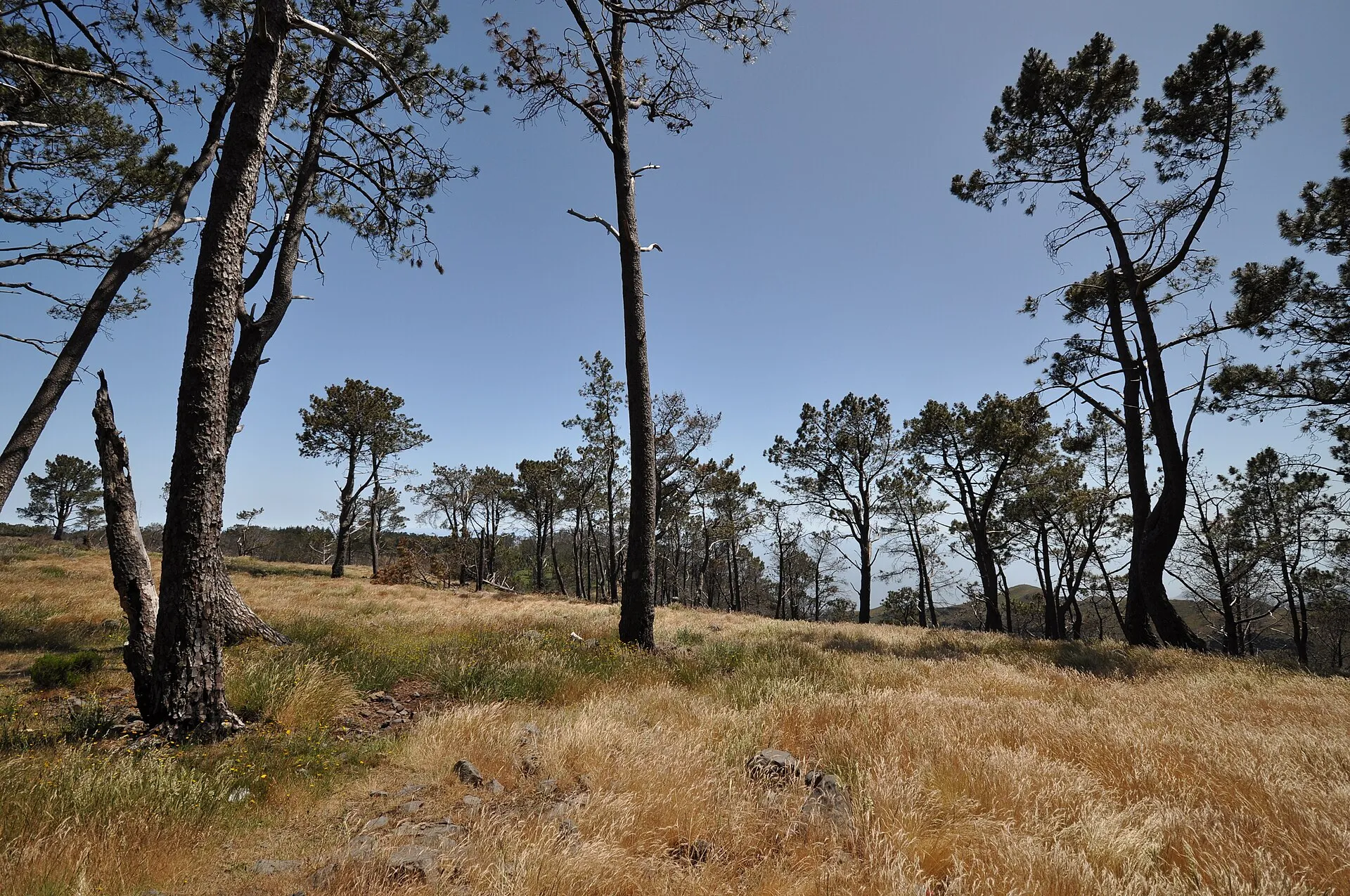
The park’s recent history includes one particularly important episode: in the early hours of 9 August 2016, a forest fire affected about 441 hectares of the Funchal Ecological Park. The municipal documentation says the fire reached areas where important stands of native and endemic vegetation of high botanical interest were predominant.
This event matters because it shows that the park is not only a place of enjoyment but also a vulnerable territory. In mountain areas like this, ecological management depends on fire prevention, erosion control, vegetation recovery, and ongoing monitoring. The existence of educational material dedicated to “restoring life to the mountain” shows that the municipality sought to turn the memory of the wildfire into a tool for awareness and environmental rebuilding.
What visitors encounter
Visitors to the Funchal Ecological Park encounter, first and foremost, a mountain landscape closely tied to Madeira’s geographical identity. Its appeal lies in the combination of nature, wide views, trails, and environmental interpretation. This is not a conventional urban park with flat lawns and short promenades; it is a broad upland territory with high elevations and a strong continuity of landscape.
For visitors, this translates into very concrete experiences: seeing Funchal from above, following mountain paths, noticing how vegetation changes across the slopes, and understanding the close relationship between the city and the mountains. In several places, the park works as a platform for reading the territory, allowing the urban, agricultural, and natural dimensions of Madeira to be seen together.
Pico Alto Viewpoint is a good example of that interpretive role. The view is not only photogenic; it also places the visitor within Funchal’s geography, showing how the city rises towards the hills. Chão da Lagoa and the trail-running route, meanwhile, present the park as a place of movement and longer exploration.
Connection with Funchal and Madeira
The Funchal Ecological Park matters beyond the local level. It is part of the way Madeira’s capital relates to its mountainous hinterland and to the island’s biodiversity. Madeira is well known for the close proximity between urban areas and high-value natural terrain, and this park is one of the clearest expressions of that coexistence.
By combining conservation, education, and public use, the Funchal Ecological Park helps explain how the city is built in dialogue with the mountains. It is therefore an especially useful place for understanding Funchal beyond its seafront, through its continuity with relief, vegetation, and the lived experience of Madeira’s uplands.
In short, the Funchal Ecological Park is one of the key places for reading the relationship between nature and city in Madeira. Its municipal creation, environmental purpose, elevation range, trails, viewpoint, and the memory of the 2016 wildfire make it a place of substantial ecological, educational, and landscape significance.