
Overview
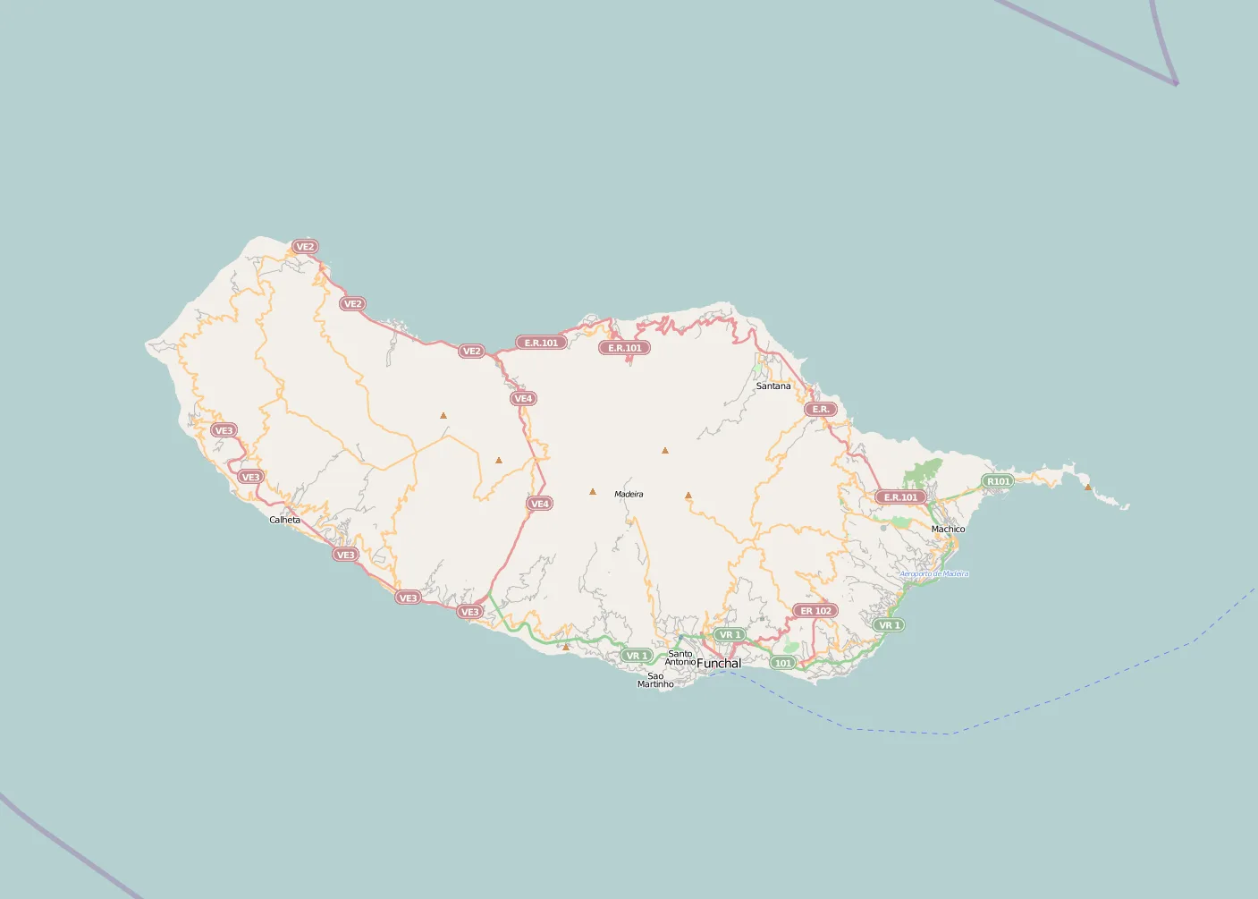
Madeira Island is the largest island in the Madeira archipelago and one of the most distinctive geographic features in the North Atlantic. On a map, the first thing that stands out is its elongated shape, about 57 km long and 22 km wide, with a total area of 741 km². Those modest dimensions, combined with very steep terrain, help explain why settlement is concentrated along the coast while the interior remains high, rugged, and sparsely inhabited.
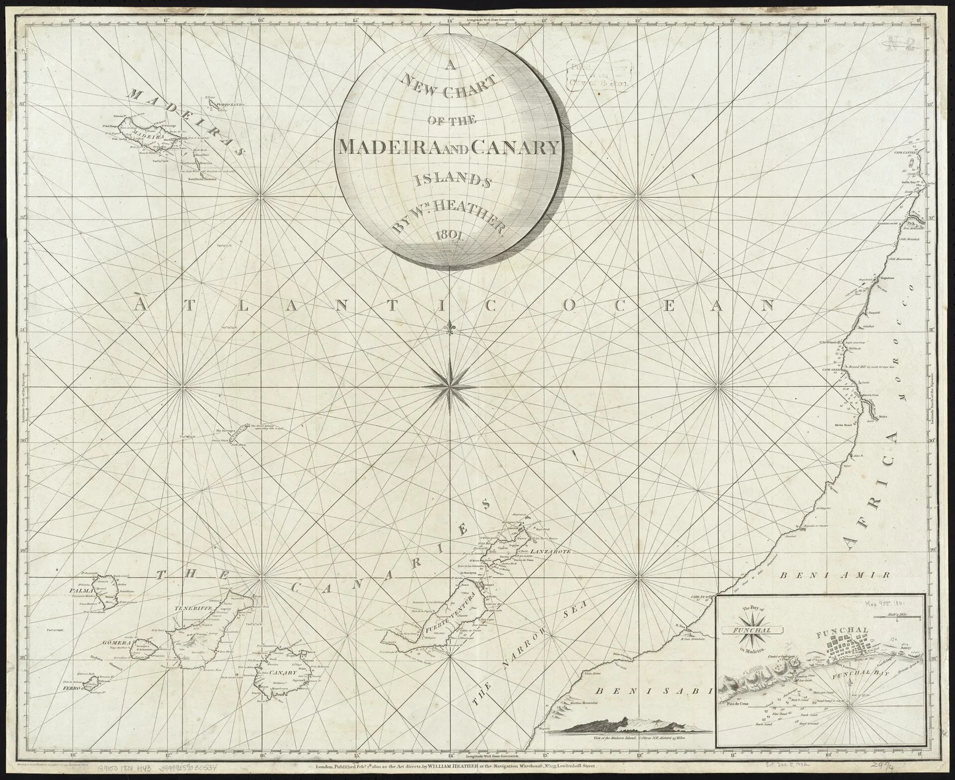
The island belongs to Portugal and forms part of the Autonomous Region of Madeira. Geographically, it lies in the Atlantic Ocean about 1,000 km from mainland Europe, southwest of Lisbon, roughly 500 km off the west coast of Africa, and around 450 km north of the Canary Islands. It sits on the African Plate, a key detail for understanding both its volcanic origin and its position in the eastern Atlantic.
How to read the island’s map
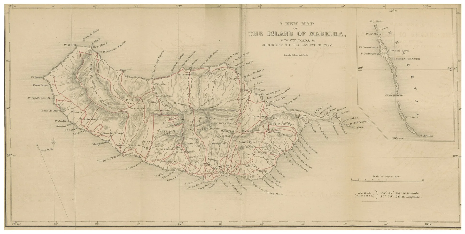
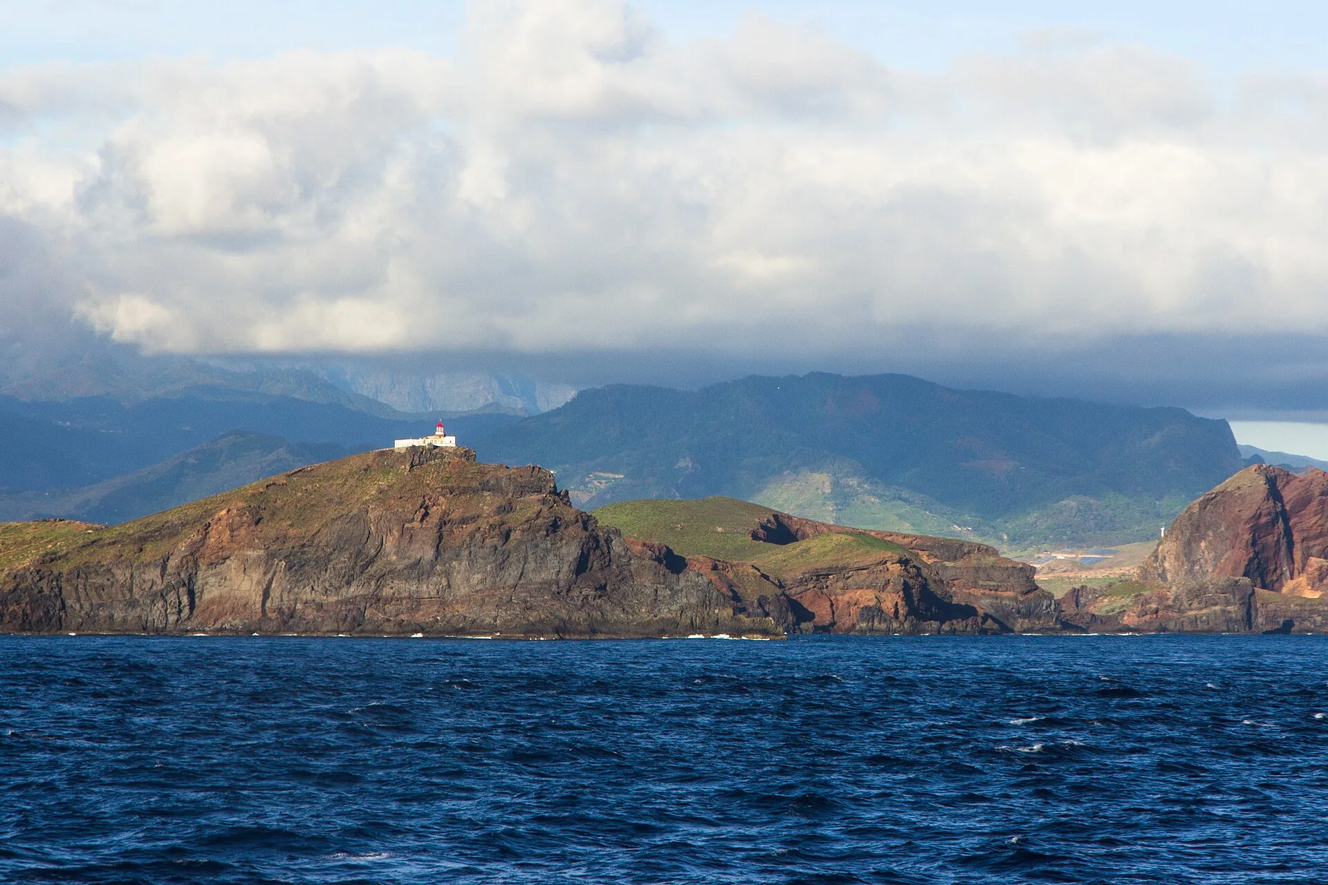
A map of Madeira immediately reveals an island shaped by relief. The north coast is generally steeper, with green mountains and high cliffs, while the south coast tends to have more continuous urban and agricultural development. In the interior, the map shows a central mountain spine and deep, narrow valleys that structure water flow and influence how settlements connect to one another.
This spatial pattern matters because Madeira cannot be understood as a flat surface. Instead, its map shows a territory where altitude, slope, and exposure to the terrain strongly affect landscape, vegetation, road networks, levadas, and the distribution of towns. For anyone visiting or studying the island, a topographic map is far more revealing than a simple outline, because it shows the relationship between coast, slopes, and high mountains.
Volcanic origin and physical structure
Madeira is the emerged part of a large shield volcano of Miocene to Holocene age, built on Cretaceous oceanic crust. Its construction began with submarine volcanic activity and later continued through subaerial eruptions, mostly along a principal east-west axis. On a physical or geological map, this origin explains the island’s strong terrain compartmentalization and its distinct volcanic units.
The island’s cartographic structure becomes even clearer when the mountainous centre is compared with the coastal margins. The central high ground dominates the landscape and controls drainage lines, ravines, and the areas of greatest moisture. On many maps, the high interior contrasts sharply with the narrow coastal strip where roads, ports, services, and settlements are concentrated.
Nature, protected areas, and mapped landscapes
The map of Madeira is also a map of conservation. Around two-thirds of the island’s total area is classified as protected, including the Madeira Natural Park and several nature reserves and marine and terrestrial protected zones. This is important because it shows that the island is not only a place of settlement and movement but also a territory with a very strong conservation presence.
One of the most important natural features is the Laurisilva of Madeira, listed as a UNESCO World Heritage Site. This relic laurel forest occupies areas of high ecological value and plays a major role in maintaining the island’s water balance. On a thematic map, Laurisilva is closely linked to steep mountain terrain, especially humid valleys and sharp slopes, reinforcing the idea that Madeira’s topography is directly tied to its vegetation pattern.
Settlement, access, and the human reading of the landscape
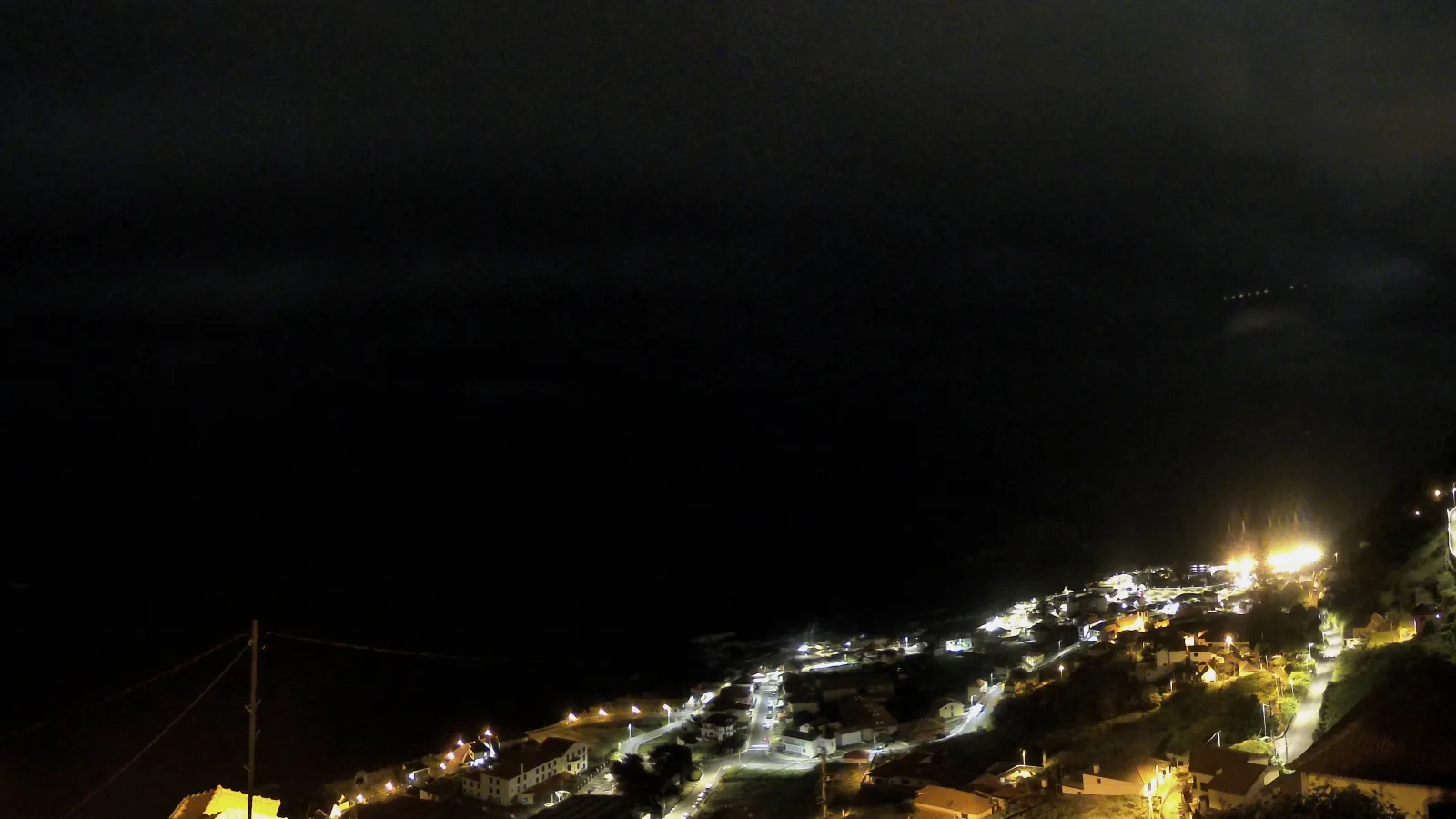
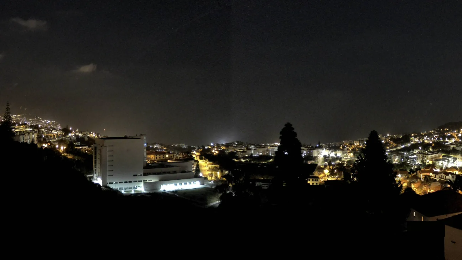
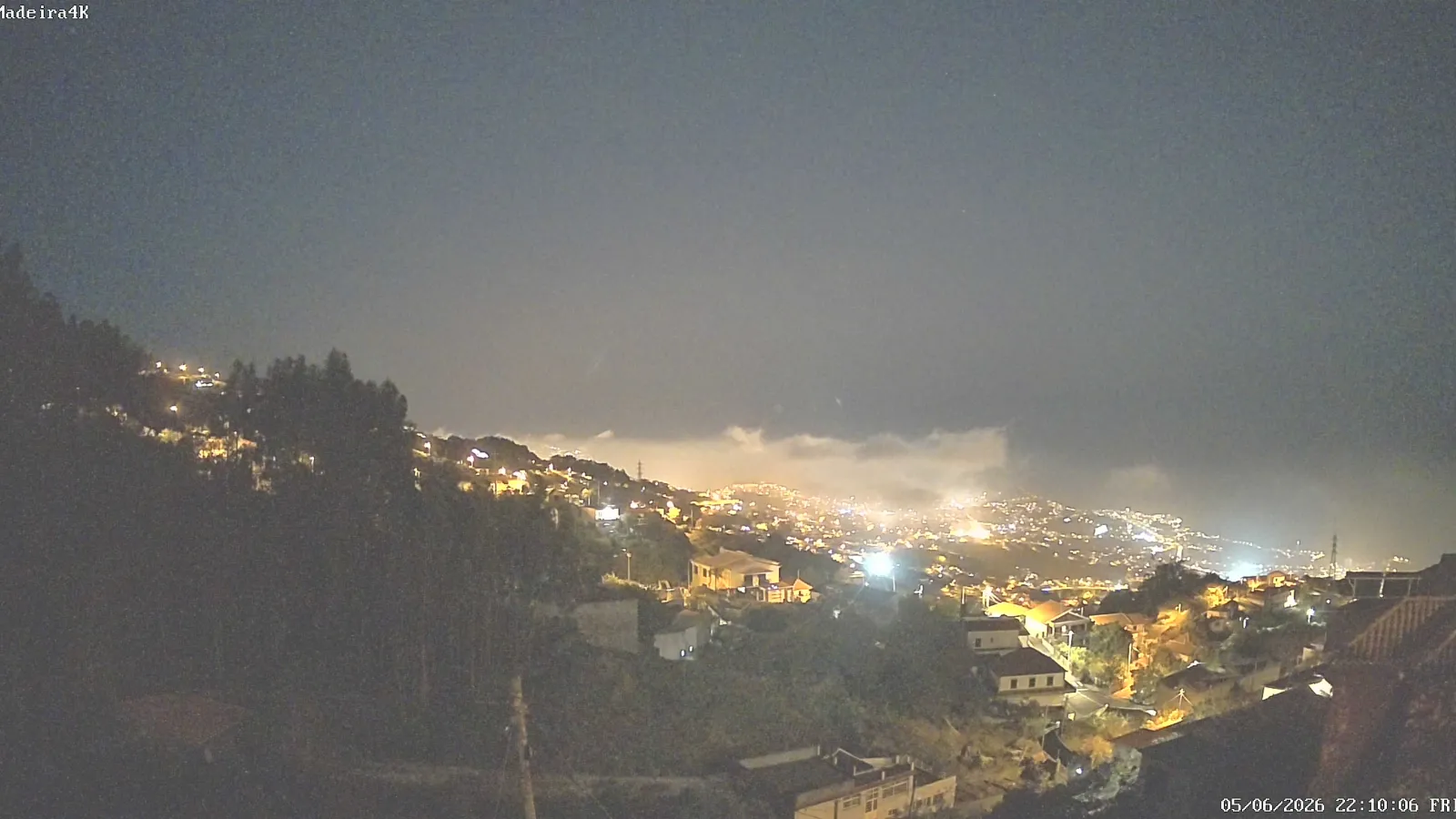
Human settlement in Madeira can also be understood through the map. The most densely occupied areas are generally found along the coast, where the relief is less restrictive and where the main access points, including the international airport and the port of Funchal, are located. From there, roads climb slopes and cross ravines through tunnels and bridges, showing how transport infrastructure has adapted to the island’s mountainous terrain.
On a tourist or reference map, the names of coastal towns, central mountain areas, and protected zones are essential for orienting the reader. The contrast between the south coast and the north coast is one of the island’s key geographic patterns: the south has historically been more closely associated with urban concentration and access routes, while much of the north retains a steeper and greener character, especially where the mountains descend almost directly into the sea.
Madeira in the wider archipelago
Madeira Island should not be read in isolation. The archipelago also includes Porto Santo, the Desertas, and the Selvagens, although only Madeira and Porto Santo are inhabited. Cartographically and administratively, that means a map of Madeira is only one part of a broader island system that combines inhabited islands, uninhabited islands, and protected marine areas.
Even so, Madeira is the archipelago’s main human, economic, and administrative centre. When people search for a “map of Madeira,” they are often looking for a representation of the main island, its urban network, its relief, its natural areas, and its relationship to the wider insular territory.
Why a map of Madeira is especially useful
A map of Madeira Island is useful for more than basic orientation. It helps explain why straight-line distance says little about actual movement; why the south coast and north coast perform different spatial roles; why conservation occupies such a large part of the territory; and why levadas, terraced agriculture, and mountain paths became such defining features of the island.
For visitors, a map helps with trip planning and with understanding the logic of the landscape. For readers interested in geography, environmental history, or spatial planning, it reveals a remarkable case of interaction between volcanism, relief, water, forest, and settlement. In that sense, Madeira is an island where a map is not just a navigation tool: it is a way to interpret the territory itself.