
Overview
When Madeira and Funchal are mentioned together, it helps to separate two different but closely connected realities. Madeira is the main island of the Madeira archipelago, a volcanic group belonging to Portugal in the North Atlantic. Funchal is the capital of the Autonomous Region of Madeira and the island’s main city. Although “Madeira” is often used loosely to mean the island, the archipelago, or the autonomous region, this article uses it mainly for the principal island and reserves “Funchal” for the capital city.
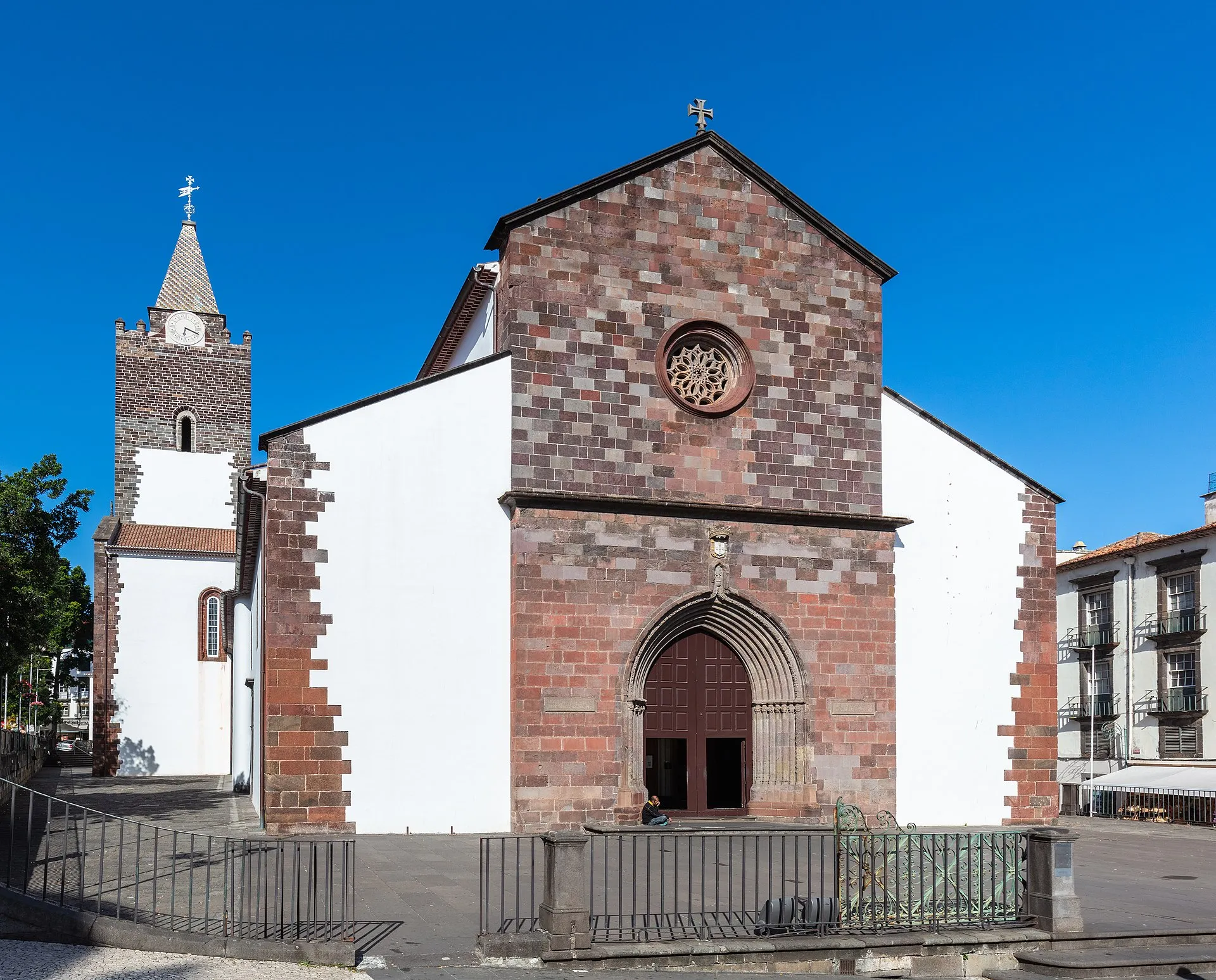
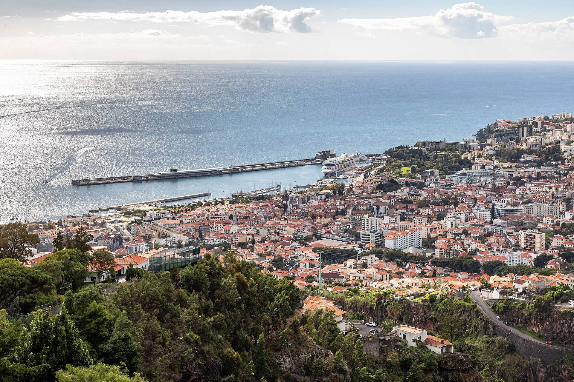
Funchal lies on Madeira’s southern coast, in a bay open to the Atlantic. It is the archipelago’s main administrative, economic, and cultural centre, and for many people it is the most familiar gateway to understanding Madeira today. The link between the city and the island is strong: the capital organises services, movement, commerce, and public life, while the island provides the physical, historical, and environmental setting that has shaped urban growth over centuries.
The archipelago and the island
The Madeira archipelago includes inhabited and uninhabited islands. The consulted sources identify two inhabited islands — Madeira and Porto Santo — and two uninhabited groups — the Desertas and the Selvagens. Administratively, they form the Autonomous Region of Madeira, whose regional capital is Funchal. This arrangement helps explain why the city carries weight far beyond that of a municipal seat: regional and insular functions are concentrated there.
Madeira Island is mountainous and steep. Its interior rises to Pico Ruivo, and the land falls sharply toward the coast. That topography is essential for understanding settlement patterns, transport routes, agricultural choices, and the island’s urban form. It is not just a scenic backdrop; it is a structural fact that has shaped how people live, move, and cultivate land across much of the island.
Funchal’s geography
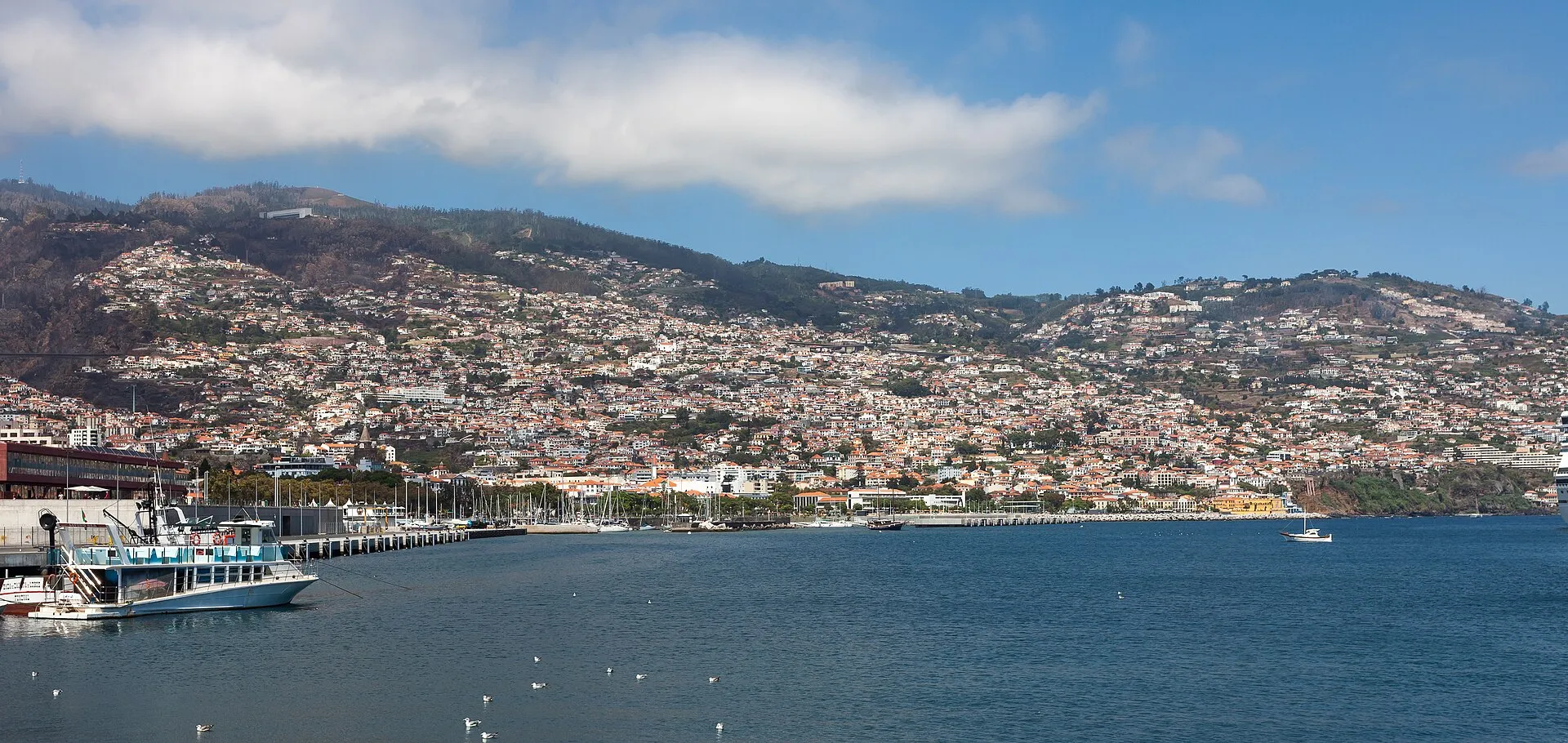
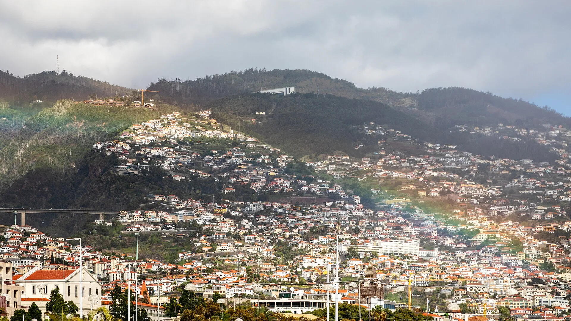
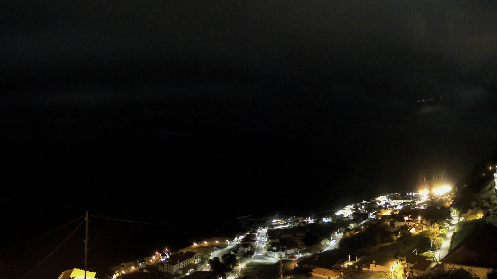
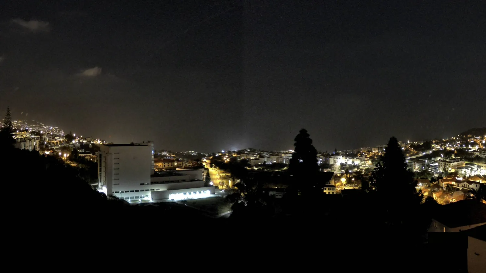
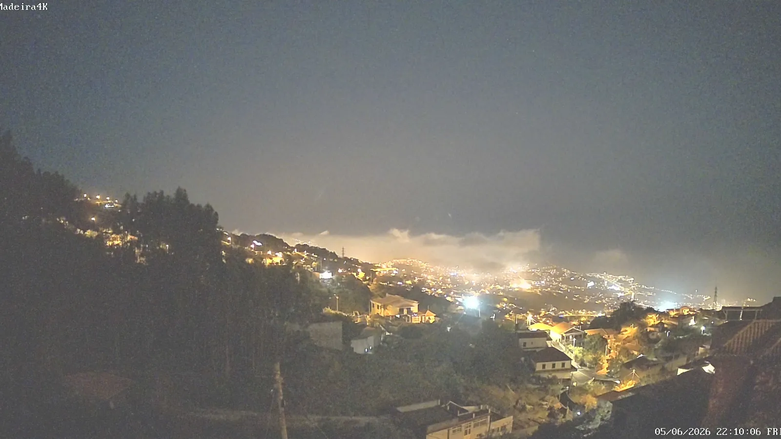
Funchal developed on the southern coast, facing a wide bay and rising across a broad slope shaped like a natural amphitheatre. The city extends along the shoreline and climbs the lower mountain slopes, creating a very distinctive urban reading: the historic and commercial centre stays close to the sea, while neighbourhoods spread outward and upward along increasingly steep terrain.
That layout explains many of the images most closely associated with Funchal: steep streets, bay views, lookouts, terraced gardens, and a constant visual relationship between the city and the surrounding landscape. The capital was not built in spite of the island’s geography; it grew in dialogue with it. As a result, the sea, the mountain, and the urban fabric are all visible at once.
History and urban consolidation
The consulted sources indicate that Funchal was founded in 1421 and raised to city status on 21 August 1508 by royal charter of King Manuel I. Its name is traditionally linked to fennel, an aromatic plant that was abundant in the area in the early settlement period. These details place Funchal among the oldest urban centres in the Portuguese Atlantic and help explain why it remained such a durable political and economic core.
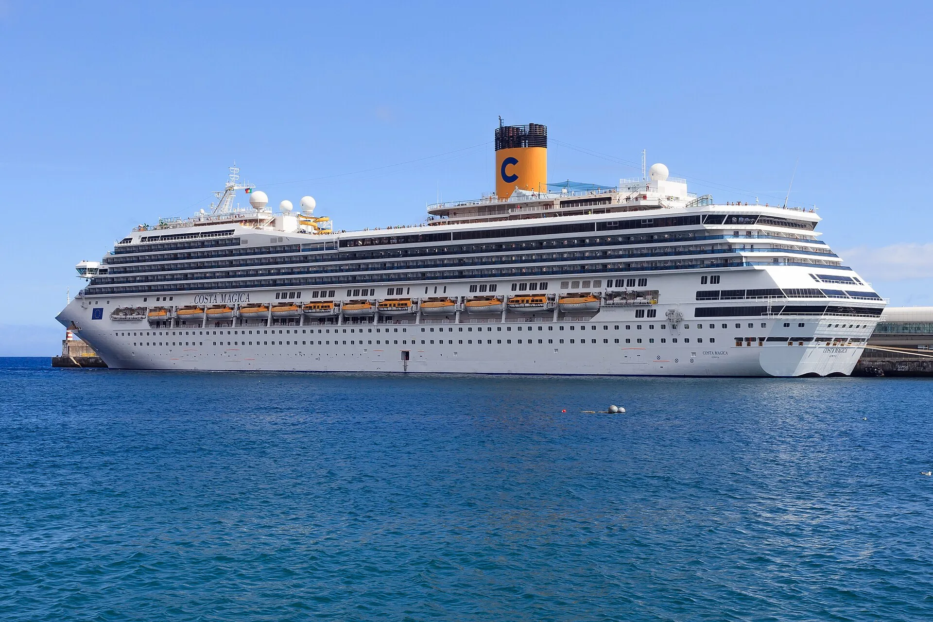
Over time, Funchal became a centre of trade, administration, and communications. Its position in a relatively sheltered bay supported port activity and connections with Atlantic sea routes. At the same time, urban growth followed the consolidation of services, commerce, and regional institutions. The city became the island’s main point of reference, both for residents and for first-time visitors.
Economy, circulation, and regional role
Historically, Madeira’s economy was tied to agricultural products and to commercial activity connected to the sea. Funchal sat at the heart of that system: it worked as a trading hub, a place where goods moved in and out, and a centre for exporting regional products. The sources consulted highlight sugar and wine among the elements that helped shape the city’s historical economy and external image. In parallel, Funchal consolidated roles linked to commerce, industry, and communications.
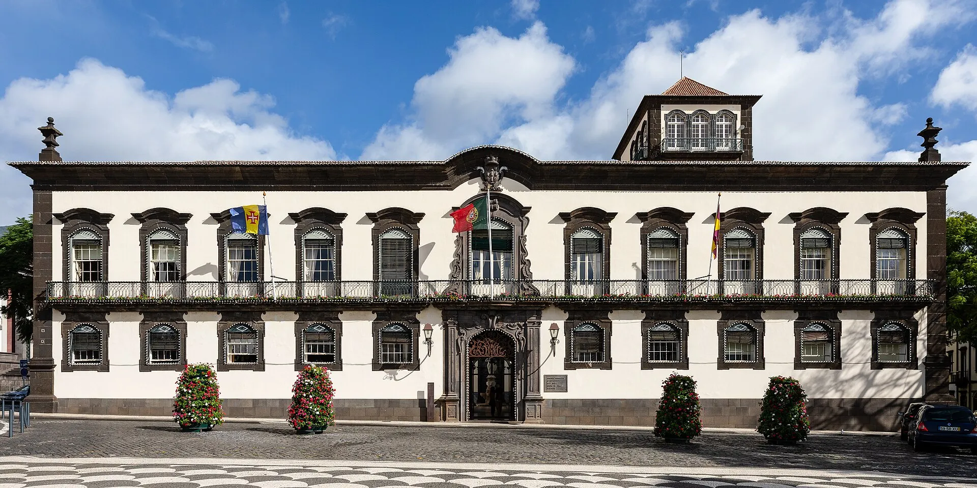
Today, Funchal still concentrates administrative and service functions for the wider region. That makes the capital especially important in the daily life of the island. The relationship between the city and the rest of Madeira is not one of opposition but of complementarity: Funchal concentrates and redistributes, while the island supplies the resources, landscapes, and communities that sustain regional life.
The agricultural landscape and terraces
One of Madeira’s most recognisable visual features is its terraced landscape. Steep slopes led to the construction of stone retaining walls that made cultivation possible on inclined land. This system appears in several parts of the island and is visible in and around Funchal as well. It is both a practical response to difficult terrain and a defining part of the island’s appearance.
The terraces help explain why Madeira is so often described as a place where agriculture and relief cannot be separated. Rural space is not confined to flat ground — much of which does not exist in the island’s steep terrain — but is adapted to the land itself. That adaptation shaped settlement history and continues to be one of the island’s most distinctive characteristics.
Nature, forest, and world heritage
One of the archipelago’s most important natural features is the Laurisilva of Madeira, which was inscribed on the UNESCO World Heritage List in 1999. UNESCO describes it as the largest surviving area of laurel forest and stresses its importance for biodiversity and for the island’s hydrological balance. It is an ecological heritage of outstanding value, associated with deep valleys, humid slopes, and living environmental processes.
The Laurisilva is not limited to the Funchal area, but it is essential to understanding the capital’s wider environmental setting. The close proximity of city, mountain, and forested areas shows how Madeira combines different landscapes within a relatively small territory. The island includes dense urban areas, agricultural hillsides, forested valleys, and conservation zones, producing a remarkable diversity of scenery.
Funchal in Madeira’s image
For many visitors and residents, Funchal functions as a summary of Madeira — but only if that summary does not flatten the island’s complexity. The capital represents Madeira’s urban, administrative, and cosmopolitan side; Madeira itself also includes mountains, forest, agriculture, small settlements, and a varied coastline. The island’s distinctiveness lies precisely in the coexistence of these elements.
Funchal is therefore more than an administrative capital. It is the main urban expression of an Atlantic island shaped by volcanism, steep relief, maritime circulation, terraced agriculture, and a long history of human adaptation to difficult terrain. The city helps explain the island, and the island helps explain the city. Together they reveal an insular geography in which sea, mountain, and human settlement form a coherent whole.
Reading island and city together
Seen together, Madeira and Funchal illustrate the difference between a territory and its capital, but also their interdependence. Madeira is the physical and environmental base; Funchal is the political, economic, and cultural centre that organises regional life. The city emerged from the island and still depends on it for its identity, while at the same time projecting Madeira outward through its port, administrative, and symbolic functions.
That dual condition explains the strong identity of the place. Madeira is not simply an Atlantic destination, and Funchal is not merely an urban centre: they are two sides of the same insular reality, joined by history, geography, and a pattern of human occupation that turned a mountainous island into a recognisable and inhabited world.