
Overview
Talking about the weather forecast for Madeira means talking about a relatively small island with a remarkably varied atmosphere. Official tourism information describes Madeira as having a subtropical climate with mild temperatures all year round, typically around 15 °C in winter and 25 °C in summer. But that pleasant general pattern does not mean the whole island behaves the same way: the coast, steep slopes, and mountain areas can all show very different conditions on the same day.
In practical terms, a single generic forecast for “Madeira” is often not enough to decide what to wear, where to walk, or when to leave. A day can feel bright and warm in one coastal area, cloudier in another part of the island, and much cooler at higher altitude. The most useful way to read Madeira’s weather is therefore to think in terms of exact location, elevation, and exposure to the sea.
How to read the official forecast
In Portugal, the Portuguese Institute for Sea and Atmosphere provides local hourly and daily forecasts for the Autonomous Region of Madeira. These forecasts are shown in UTC, which matters if you are planning outdoor activities, moving between different parts of the island, or leaving early for a hike. IPMA also states that local time in Madeira matches UTC in winter and becomes UTC+1 in summer.
The same official page explains that the automatic forecasts are produced through statistical processing of numerical models and are updated twice a day. IPMA also notes that these models can have limits, especially when it comes to identifying the precise timing and location of cloud cover and precipitation. The forecast is therefore very useful for planning, but it should not be treated as an exact map of what will happen at one specific point on the island.
Another useful detail is the range of data included in the forecast. IPMA shows precipitation probability, temperature and apparent temperature, wind at 10 metres above the surface, sea state, and meteorological warnings. In Madeira, that combination matters because a beach day, a levada walk, or a mountain outing often require different readings of the same forecast.
Why Madeira has microclimates
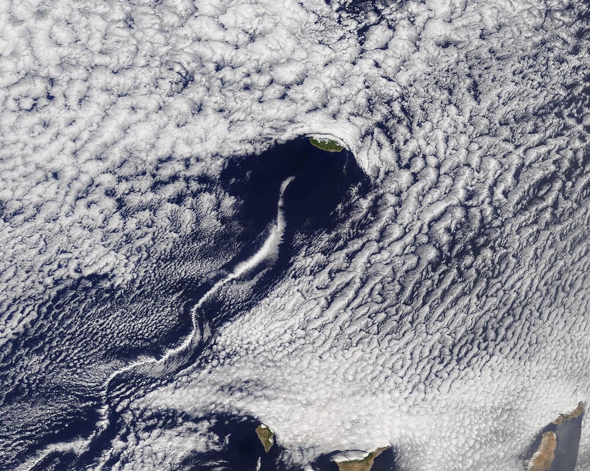
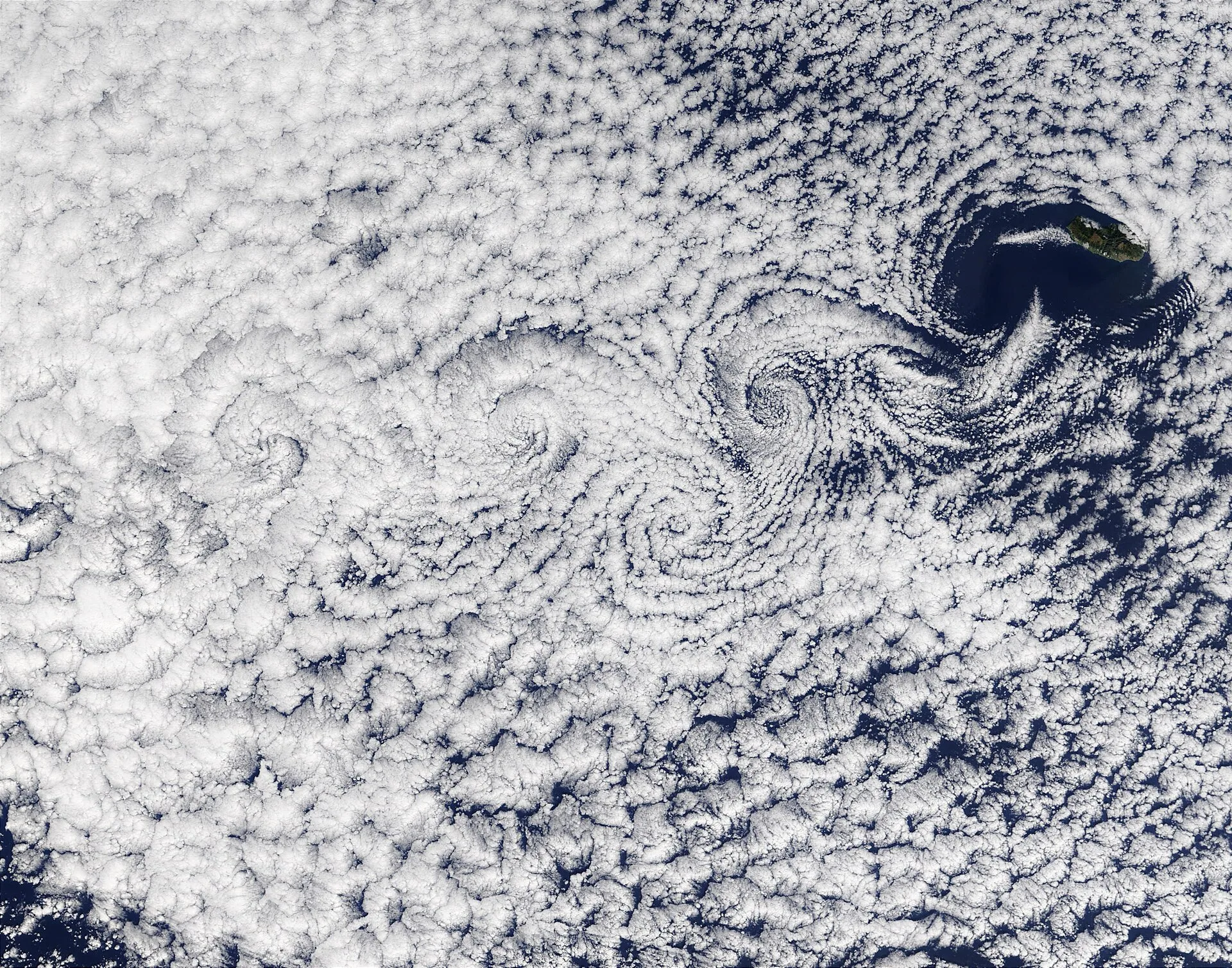
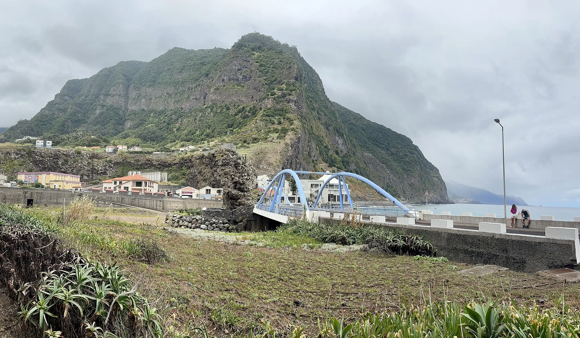
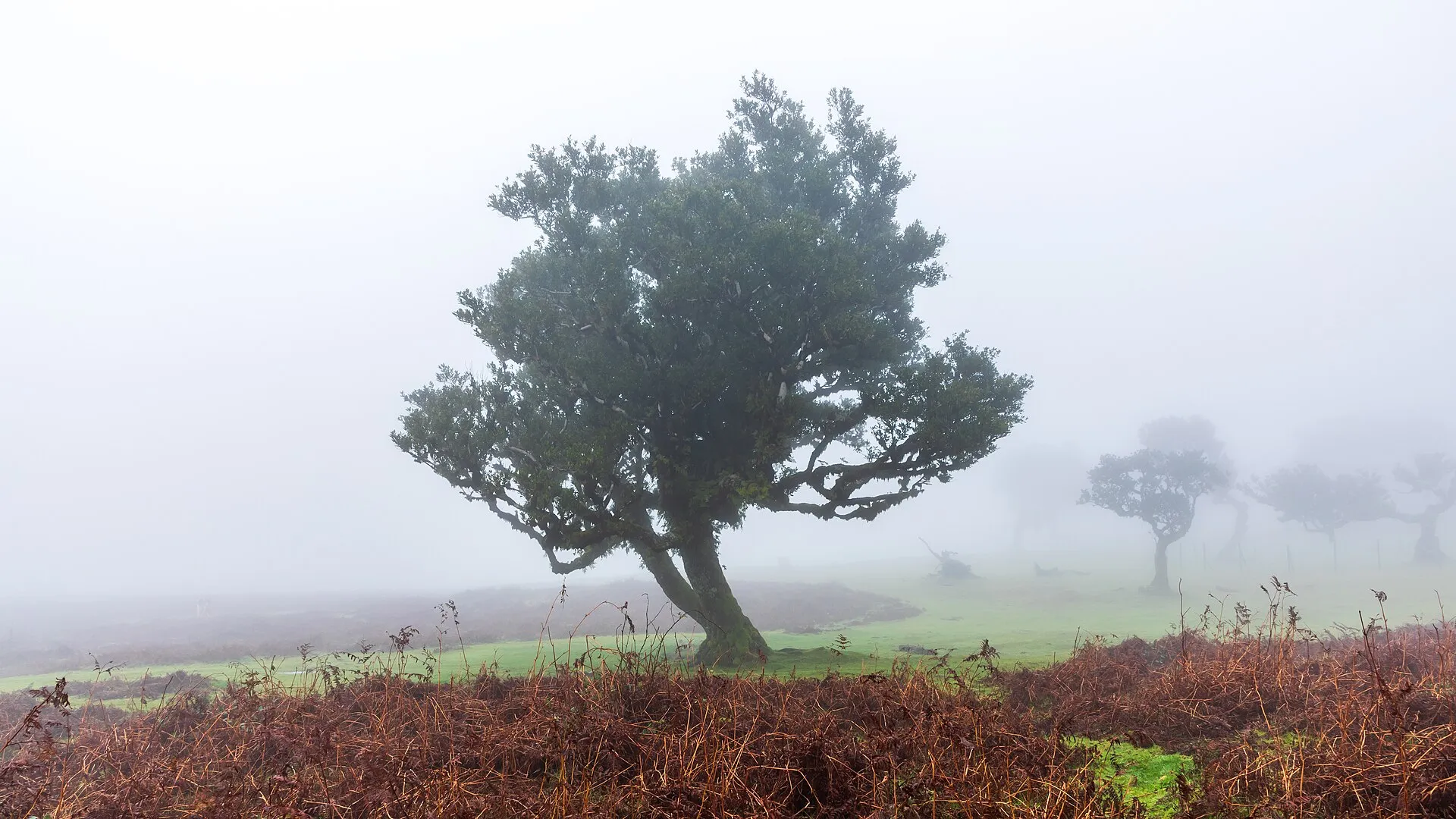
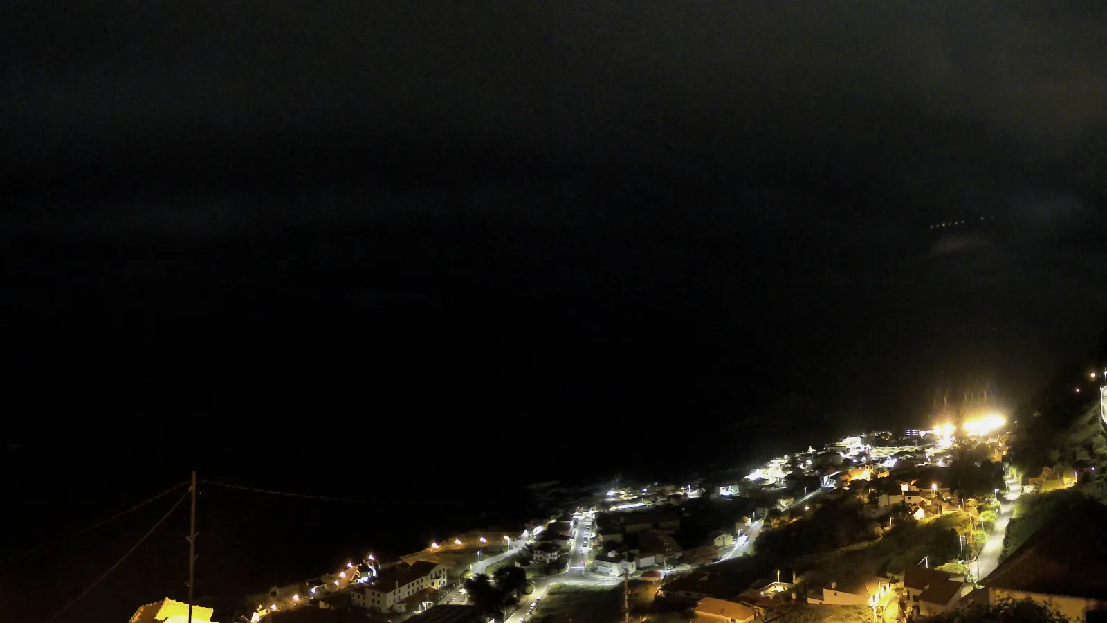
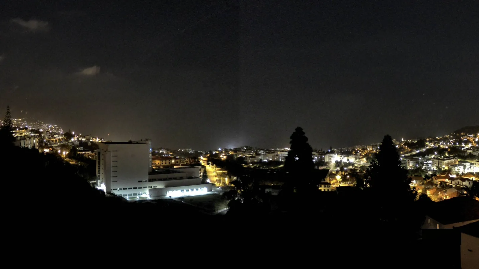
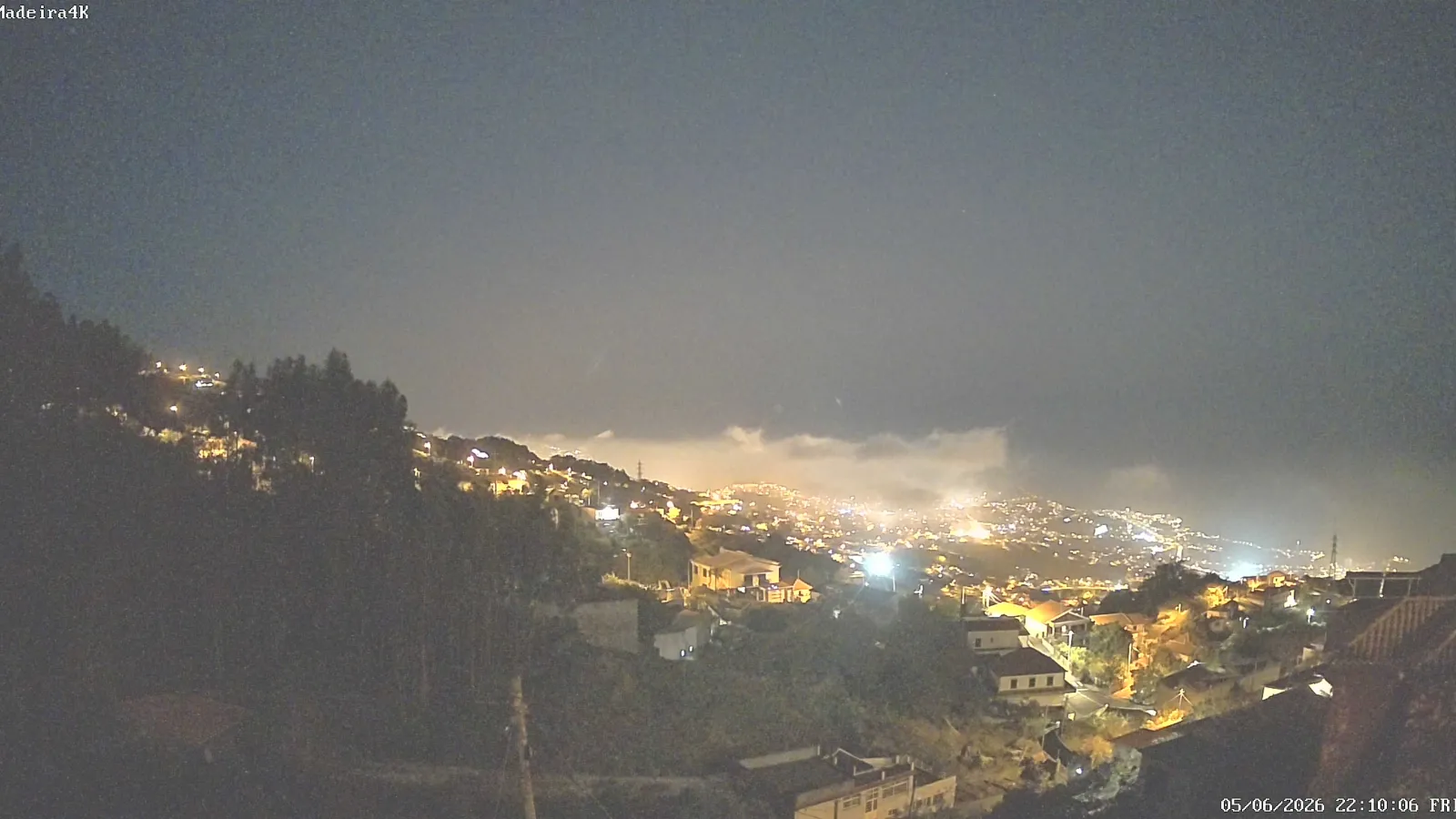
Madeira is well known for its microclimates. Official tourism material describes the island as a place where, over the course of a single day, you can experience distinct weather zones, from mist around the mountains to gentle warmth by the sea. The basic reason is straightforward: temperature, humidity, cloud cover, and wind all change with elevation and the island’s rugged relief.
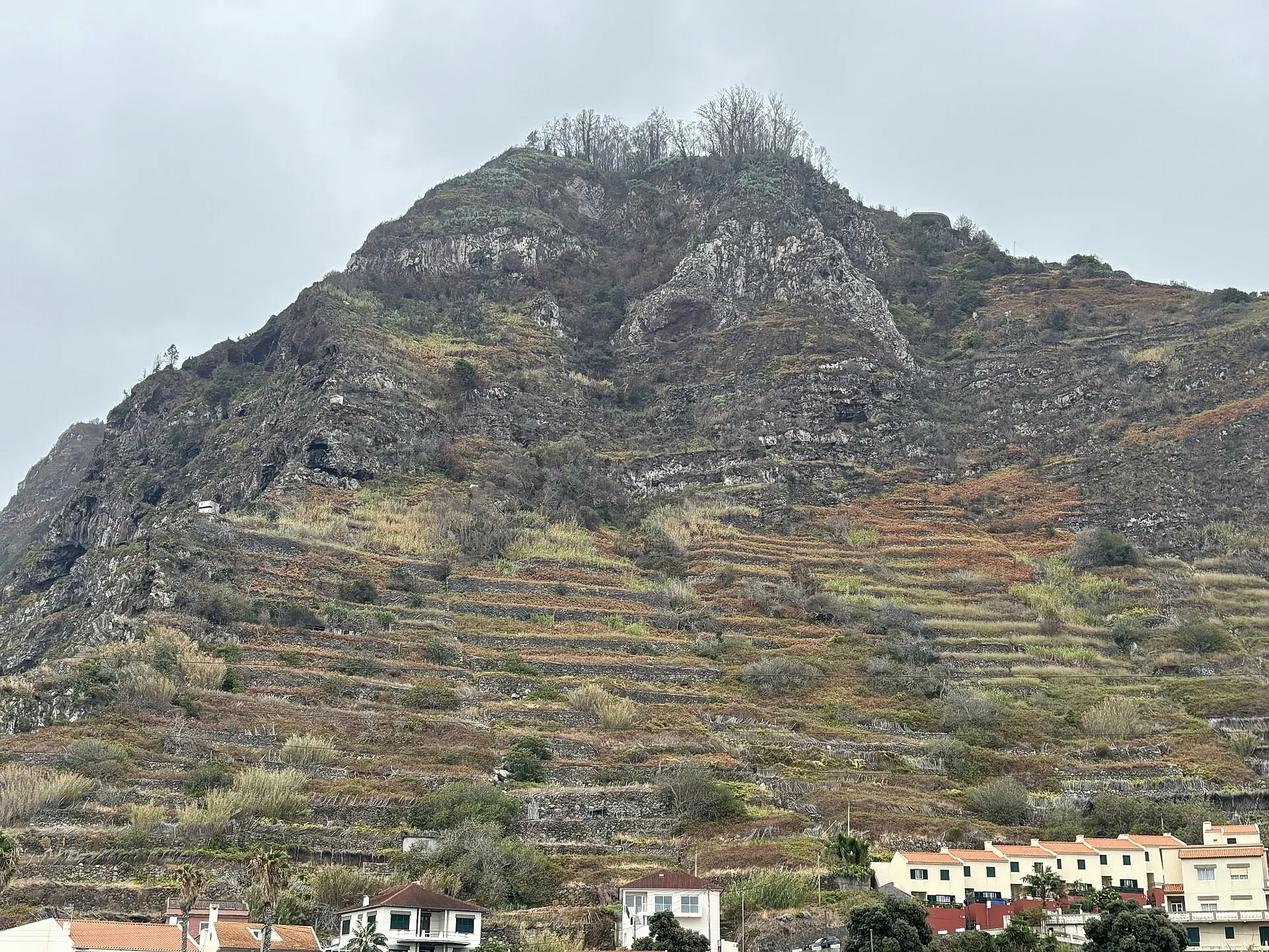
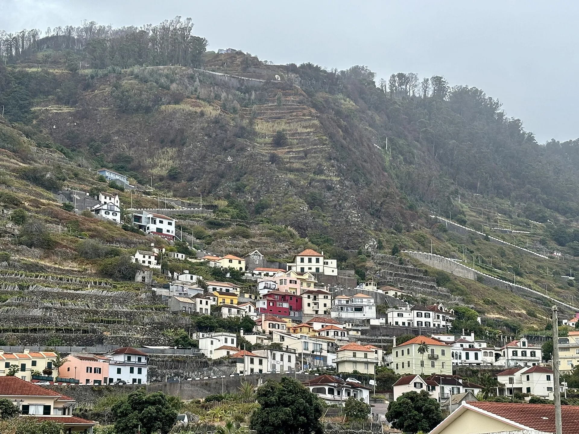
That is why a forecast can seem inconsistent if you only look at Madeira as a whole. Coastal areas are usually milder, while higher ground can be cooler, windier, and more likely to sit under cloud or mist. Instead of searching for one single weather picture for the entire island, it is better to compare the coast, mid-level areas, and higher elevations. That approach is much closer to the island’s actual weather behaviour and helps avoid unnecessary surprises.
For visitors, the practical effect is flexibility. A morning that suits the beach may turn into an afternoon better suited to a viewpoint, and a cloudy sky in one part of the island does not rule out better conditions elsewhere. Madeira’s weather can change quickly from one valley to the next, or between the southern coast and the mountains.
The climate pattern through the year
Climate normals for Funchal provide a useful reference point for one of Madeira’s key coastal areas. In the 1991–2020 normal, the mean annual temperature is 20.0 °C. Monthly averages range from 17.1 °C in January to 23.7 °C in August, showing that the annual temperature range is relatively moderate.
Average annual precipitation in Funchal is 574.3 mm. Rainfall is not evenly distributed across the year: autumn and winter are the wetter seasons, while summer is much drier. In monthly terms, mean precipitation reaches 94.8 mm in December, 94.1 mm in October, and 91.2 mm in November, while July and August receive just 1.7 mm and 1.3 mm respectively. These figures give helpful seasonal context, even though the daily forecast remains essential for deciding what to do on any particular day.
Official tourism information follows the same broad picture and describes winter as pleasantly cool, spring as arriving early, and summer as moderate, with highs of around 25 °C. Autumn is also described as mild and serene. Taken together, these references show that Madeira’s climate is stable in relative terms, but still seasonal enough to change the most comfortable type of activity from one period of the year to another.
What to look at when planning your day
If your plans include hiking, levadas, viewpoints, or mountain roads, four variables matter especially: feels-like temperature, wind, rain probability, and altitude. A comfortable value at sea level can become cold in the highlands, and a forecast with little rain does not guarantee clear skies across the whole island. Because IPMA also shows apparent temperature and wind at 10 metres above the surface, those elements help make the forecast more realistic.
For people heading to the coast, beaches, or natural pools, wind and sea state can matter just as much as air temperature. The official forecast includes sea conditions for exactly that reason, which helps when reading a day by the Atlantic. In Madeira, comfort outdoors often depends more on wind exposure and geography than on the absolute temperature alone.
The best habit is to check the forecast the day before and again on the morning itself. Since IPMA updates forecasts twice a day and acknowledges limits in the exact placement of cloud and precipitation, a second check reduces the chance of being caught out. For weather-sensitive plans such as long walks, ridge routes, or itineraries that cross several parts of the island, it is worth adjusting departure times to the latest information.
Why light and daylight hours matter too
Beyond temperature and rain, the rhythm of a day in Madeira is also shaped by daylight. Official tourism information indicates that sunrise is roughly around 08:00 in winter and around 06:15 in summer, while sunset is around 18:00 in winter and around 21:00 in summer. Those ranges help explain why summer gives much more flexibility for outdoor plans and why winter outings are better organised earlier in the day.
This matters especially when you combine different types of activity in one day. A cooler morning in the mountains can be followed by a more comfortable afternoon on the coast, but the usable time window changes significantly from season to season. In practice, solar timing and weather should be read together, not as separate planning tools.
A practical takeaway for visitors
If you are planning a trip, the best approach is to use local forecasts rather than a single broad bulletin for Madeira. The island rewards flexible planning: it is entirely normal to find mild sunshine in one zone, mist in another, and cooler air at altitude, all on the same day. That variety is not an exception; it is one of Madeira’s defining weather features.
In short, Madeira’s weather forecast should be read with attention to place, altitude, and sea exposure. The climate is mild, which makes the island comfortable throughout the year, but the microclimates and the difference between coast and mountains mean that forecast detail matters much more here than in more uniform destinations.